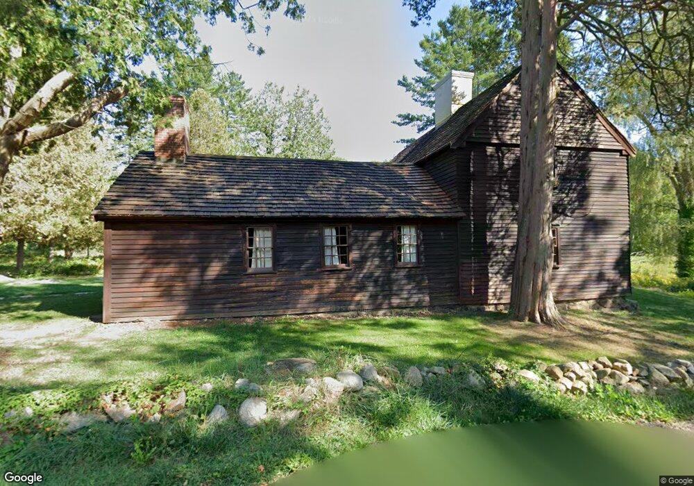
11 Lincoln St Unit B Gloucester, MA 01930
West Gloucester NeighborhoodEstimated Value: $826,000 - $1,402,604
3
Beds
3
Baths
2,776
Sq Ft
$393/Sq Ft
Est. Value
About This Home
This home is located at 11 Lincoln St Unit B, Gloucester, MA 01930 and is currently estimated at $1,089,901, approximately $392 per square foot. 11 Lincoln St Unit B is a home located in Essex County with nearby schools including West Parish, Ralph B O'maley Middle School, and Faith Christian School.
Ownership History
Date
Name
Owned For
Owner Type
Purchase Details
Closed on
Sep 28, 2022
Sold by
Grote Frederick W and Grote Pamela P
Bought by
Samuelson Richard B and Samuelson Natalie T
Current Estimated Value
Home Financials for this Owner
Home Financials are based on the most recent Mortgage that was taken out on this home.
Original Mortgage
$548,475
Outstanding Balance
$522,745
Interest Rate
5.13%
Mortgage Type
Purchase Money Mortgage
Estimated Equity
$567,156
Purchase Details
Closed on
Oct 1, 1967
Bought by
Grote Frederick W and Grote Pamela P
Create a Home Valuation Report for This Property
The Home Valuation Report is an in-depth analysis detailing your home's value as well as a comparison with similar homes in the area
Home Values in the Area
Average Home Value in this Area
Purchase History
| Date | Buyer | Sale Price | Title Company |
|---|---|---|---|
| Samuelson Richard B | $1,400,000 | None Available | |
| Grote Frederick W | -- | -- |
Source: Public Records
Mortgage History
| Date | Status | Borrower | Loan Amount |
|---|---|---|---|
| Open | Samuelson Richard B | $548,475 |
Source: Public Records
Tax History Compared to Growth
Tax History
| Year | Tax Paid | Tax Assessment Tax Assessment Total Assessment is a certain percentage of the fair market value that is determined by local assessors to be the total taxable value of land and additions on the property. | Land | Improvement |
|---|---|---|---|---|
| 2025 | $7,683 | $790,400 | $261,400 | $529,000 |
| 2024 | $7,569 | $777,900 | $248,900 | $529,000 |
| 2023 | $6,925 | $653,900 | $222,200 | $431,700 |
| 2022 | $6,747 | $575,200 | $193,200 | $382,000 |
| 2021 | $6,548 | $526,400 | $175,900 | $350,500 |
| 2020 | $6,534 | $529,900 | $175,900 | $354,000 |
| 2019 | $6,360 | $501,200 | $175,900 | $325,300 |
| 2018 | $5,912 | $457,200 | $175,900 | $281,300 |
| 2017 | $5,449 | $413,100 | $167,500 | $245,600 |
| 2016 | $5,456 | $400,900 | $174,900 | $226,000 |
| 2015 | $5,266 | $385,800 | $174,900 | $210,900 |
Source: Public Records
Map
Nearby Homes
- 587 Essex Ave
- 11 Overlook Ave
- 7 Leaman Dr
- 139 Eastern Ave
- 368 Essex Ave
- 53 Southern Ave
- 162 Main St
- 30 Atlantic St
- 63 Southern Ave
- 90 Southern Ave Unit 90
- 12 Woodward Ave
- 227 Essex Ave
- 5 Samoset Rd Unit A
- 1 Main St
- 34 & 34R Pickering St
- 188 Atlantic St
- 109 Riverview Rd
- 27 Turtle Back Rd
- 145 Essex Ave Unit 610
- 105 Martin St