11 Longs Ct Hockessin, DE 19707
Ashland NeighborhoodEstimated Value: $951,000 - $1,567,000
4
Beds
4
Baths
4,950
Sq Ft
$263/Sq Ft
Est. Value
About This Home
This home is located at 11 Longs Ct, Hockessin, DE 19707 and is currently estimated at $1,301,640, approximately $262 per square foot. 11 Longs Ct is a home located in New Castle County with nearby schools including Alexis I. du Pont Middle School, Alexis I. du Pont High School, and Sanford School.
Ownership History
Date
Name
Owned For
Owner Type
Purchase Details
Closed on
Dec 14, 2012
Sold by
Breger Patricia M and The Revocable Trust Of Patrici
Bought by
Stover Chad S C and Wasson Jennifer C
Current Estimated Value
Home Financials for this Owner
Home Financials are based on the most recent Mortgage that was taken out on this home.
Original Mortgage
$655,000
Outstanding Balance
$437,473
Interest Rate
2.62%
Mortgage Type
Adjustable Rate Mortgage/ARM
Estimated Equity
$864,167
Purchase Details
Closed on
Oct 2, 2003
Sold by
Breger Patricia M and Breger Paul
Bought by
Breger Patricia M and Breger Paul
Create a Home Valuation Report for This Property
The Home Valuation Report is an in-depth analysis detailing your home's value as well as a comparison with similar homes in the area
Home Values in the Area
Average Home Value in this Area
Purchase History
| Date | Buyer | Sale Price | Title Company |
|---|---|---|---|
| Stover Chad S C | $975,000 | None Available | |
| Breger Patricia M | -- | -- | |
| Breger Paul | -- | -- |
Source: Public Records
Mortgage History
| Date | Status | Borrower | Loan Amount |
|---|---|---|---|
| Open | Stover Chad S C | $655,000 |
Source: Public Records
Tax History Compared to Growth
Tax History
| Year | Tax Paid | Tax Assessment Tax Assessment Total Assessment is a certain percentage of the fair market value that is determined by local assessors to be the total taxable value of land and additions on the property. | Land | Improvement |
|---|---|---|---|---|
| 2024 | $11,731 | $317,500 | $50,000 | $267,500 |
| 2023 | $10,349 | $317,500 | $50,000 | $267,500 |
| 2022 | $10,472 | $317,500 | $50,000 | $267,500 |
| 2021 | $10,489 | $317,500 | $50,000 | $267,500 |
| 2020 | $10,489 | $317,500 | $50,000 | $267,500 |
| 2019 | $10,489 | $317,500 | $50,000 | $267,500 |
| 2018 | $10,281 | $317,500 | $50,000 | $267,500 |
| 2017 | $9,608 | $317,500 | $50,000 | $267,500 |
| 2016 | $9,176 | $300,400 | $50,000 | $250,400 |
| 2015 | -- | $300,400 | $50,000 | $250,400 |
| 2014 | $7,957 | $300,400 | $50,000 | $250,400 |
Source: Public Records
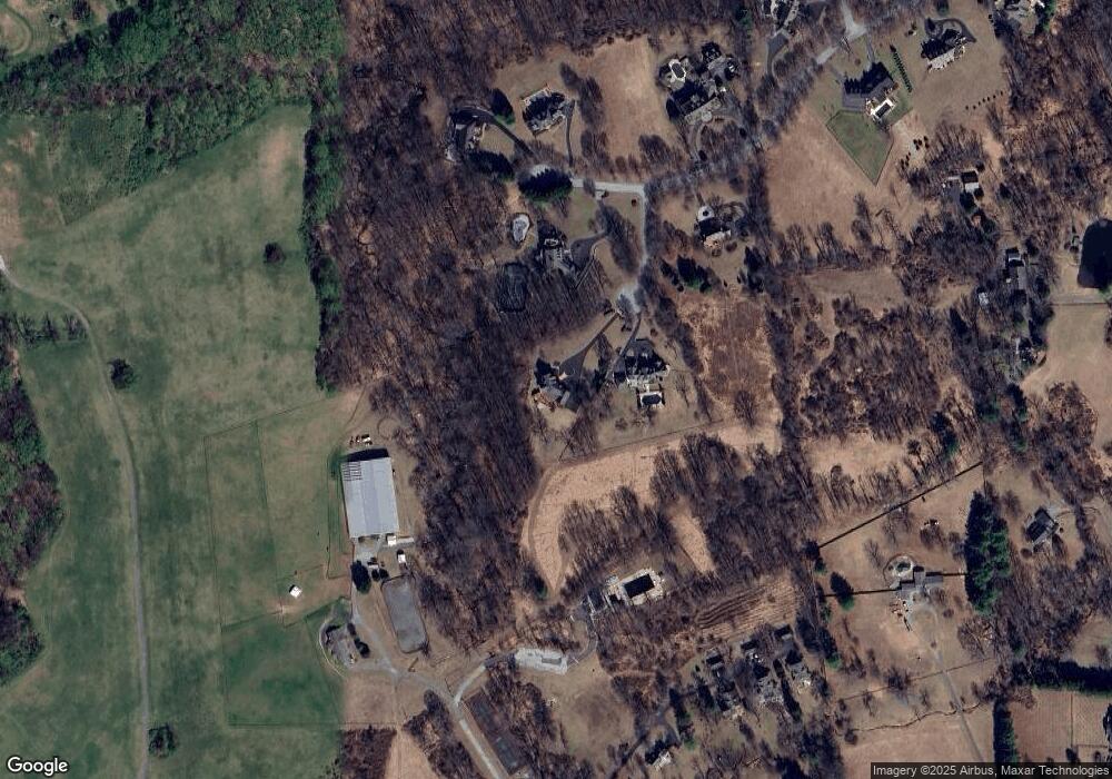
Map
Nearby Homes
- 526 Dawson Track
- 2913 Creek Rd
- 2 Farron Dr
- 757 Auburn Mill Rd
- 747 Morris Rd
- 417 Burnt Mill Rd
- 646 Woodview Dr
- 823 Creek Rd
- 102 Knoxlyn Farm Dr
- 25 Southridge Dr
- 1075 Yorklyn Rd
- 204 Sandy Flash Dr
- 606 Parkridge Dr
- 0 Old Kennett Rd
- 9 Pheasants Ridge S Unit RG
- 10 Pheasants Ridge N Unit RG
- 3 Scarlett Ct
- 2160 Brackenville Rd
- 408 Willowbend Ct
- 404 Kimberley Rd
- 14 Longs Ct
- 47 Clouds Way
- 10 Longs Ct
- 41 Clouds Way
- 51 Clouds Way
- 736 Nine Gates Rd
- 48 Clouds Way
- 52 Clouds Way
- 42 Clouds Way
- 35 Clouds Way
- 359 Lower Snuff Mill Rd
- 34 Clouds Way
- 230 Stone Row Unit RW
- 230 Stone Row
- 228 Stone Row Unit RW
- 236 Stone Row Unit RW
- 236 Stone Row
- 238 Stone Row Unit RW
- 250 Stone Row
- 250 Stone Row Unit RW