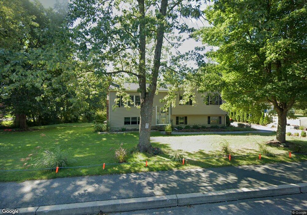
11 Lovering St Medway, MA 02053
Estimated Value: $594,000 - $648,000
4
Beds
2
Baths
1,240
Sq Ft
$507/Sq Ft
Est. Value
About This Home
This home is located at 11 Lovering St, Medway, MA 02053 and is currently estimated at $629,101, approximately $507 per square foot. 11 Lovering St is a home located in Norfolk County with nearby schools including John D. McGovern Elementary School, Burke-Memorial Elementary, and Medway Middle School.
Ownership History
Date
Name
Owned For
Owner Type
Purchase Details
Closed on
May 16, 2006
Sold by
Gove Ronald A and Gove Ellen G
Bought by
Tocci Michael D and Tocci Michelle L
Current Estimated Value
Home Financials for this Owner
Home Financials are based on the most recent Mortgage that was taken out on this home.
Original Mortgage
$308,000
Outstanding Balance
$178,381
Interest Rate
6.4%
Mortgage Type
Purchase Money Mortgage
Estimated Equity
$450,720
Create a Home Valuation Report for This Property
The Home Valuation Report is an in-depth analysis detailing your home's value as well as a comparison with similar homes in the area
Home Values in the Area
Average Home Value in this Area
Purchase History
| Date | Buyer | Sale Price | Title Company |
|---|---|---|---|
| Tocci Michael D | $385,000 | -- |
Source: Public Records
Mortgage History
| Date | Status | Borrower | Loan Amount |
|---|---|---|---|
| Open | Tocci Michael D | $308,000 | |
| Closed | Tocci Michael D | $38,500 |
Source: Public Records
Tax History Compared to Growth
Tax History
| Year | Tax Paid | Tax Assessment Tax Assessment Total Assessment is a certain percentage of the fair market value that is determined by local assessors to be the total taxable value of land and additions on the property. | Land | Improvement |
|---|---|---|---|---|
| 2025 | $6,933 | $486,500 | $269,300 | $217,200 |
| 2024 | $7,006 | $486,500 | $269,300 | $217,200 |
| 2023 | $6,969 | $437,200 | $232,000 | $205,200 |
| 2022 | $6,709 | $396,300 | $207,200 | $189,100 |
| 2021 | $6,476 | $370,900 | $186,500 | $184,400 |
| 2020 | $5,926 | $338,600 | $165,700 | $172,900 |
| 2019 | $5,646 | $332,700 | $165,700 | $167,000 |
| 2018 | $5,418 | $306,800 | $145,000 | $161,800 |
| 2017 | $5,286 | $295,000 | $134,700 | $160,300 |
| 2016 | $5,252 | $290,000 | $129,700 | $160,300 |
| 2015 | $5,204 | $285,300 | $122,200 | $163,100 |
| 2014 | $5,062 | $268,700 | $128,400 | $140,300 |
Source: Public Records
Map
Nearby Homes
- 12 Lovering St
- 106 Holliston St
- 36 Lovering St
- 3 Meryl St
- 22 Sunset Dr
- 14 Heritage Dr
- 50 Main St
- 1 Walnut Ln
- 19 Sycamore Way Unit L40
- 30 Broken Tree Rd
- 176 Main St Unit 3
- 280 Village St Unit D2
- 28 Wellington St
- 4 Shaw St
- 20 Broad St Unit 6
- 20 Broad St Unit A
- 20 Broad St Unit 4
- 116 Winthrop St
- 14 Sanford St Unit 15
- 9 Sanford St