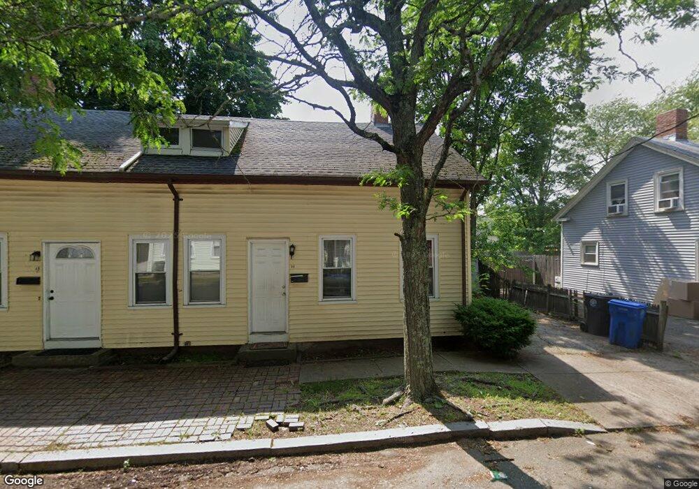
11 Maple St Cranston, RI 02910
Village NeighborhoodEstimated Value: $421,376 - $628,000
4
Beds
2
Baths
1,782
Sq Ft
$273/Sq Ft
Est. Value
About This Home
This home is located at 11 Maple St, Cranston, RI 02910 and is currently estimated at $485,844, approximately $272 per square foot. 11 Maple St is a home located in Providence County with nearby schools including Stadium Elementary School, Hugh B. Bain Middle School, and Cranston High School East.
Ownership History
Date
Name
Owned For
Owner Type
Purchase Details
Closed on
Feb 1, 2013
Sold by
Altieri Robert A and Altieri Kelley A
Bought by
Altieri Robert A
Current Estimated Value
Purchase Details
Closed on
Mar 25, 2011
Sold by
Altieri Robert A and Altieri Kelley A
Bought by
Altieri Robert A and Altieri Kelly A
Home Financials for this Owner
Home Financials are based on the most recent Mortgage that was taken out on this home.
Original Mortgage
$99,000
Interest Rate
5.07%
Purchase Details
Closed on
Dec 28, 2009
Sold by
Bank Of New York
Bought by
Altieri Robert
Purchase Details
Closed on
Feb 23, 2009
Sold by
Collum Andrew
Bought by
Bank Of New York
Purchase Details
Closed on
Apr 15, 2005
Sold by
Chaphom Keoviseth and Chaphom Michele D
Bought by
Collum Andrew and Madrid Kathy
Create a Home Valuation Report for This Property
The Home Valuation Report is an in-depth analysis detailing your home's value as well as a comparison with similar homes in the area
Home Values in the Area
Average Home Value in this Area
Purchase History
| Date | Buyer | Sale Price | Title Company |
|---|---|---|---|
| Altieri Robert A | -- | -- | |
| Altieri Robert A | -- | -- | |
| Altieri Robert | $106,500 | -- | |
| Bank Of New York | $102,000 | -- | |
| Collum Andrew | $257,000 | -- |
Source: Public Records
Mortgage History
| Date | Status | Borrower | Loan Amount |
|---|---|---|---|
| Previous Owner | Collum Andrew | $99,000 | |
| Previous Owner | Collum Andrew | $240,000 | |
| Previous Owner | Collum Andrew | $60,000 |
Source: Public Records
Tax History
| Year | Tax Paid | Tax Assessment Tax Assessment Total Assessment is a certain percentage of the fair market value that is determined by local assessors to be the total taxable value of land and additions on the property. | Land | Improvement |
|---|---|---|---|---|
| 2025 | $4,453 | $320,800 | $88,600 | $232,200 |
| 2024 | $4,274 | $314,000 | $88,600 | $225,400 |
| 2023 | $4,470 | $236,500 | $61,100 | $175,400 |
| 2022 | $4,378 | $236,500 | $61,100 | $175,400 |
| 2021 | $4,257 | $236,500 | $61,100 | $175,400 |
| 2020 | $3,899 | $187,700 | $47,500 | $140,200 |
| 2019 | $3,899 | $187,700 | $47,500 | $140,200 |
| 2018 | $3,808 | $187,700 | $47,500 | $140,200 |
| 2017 | $3,147 | $137,200 | $37,400 | $99,800 |
| 2016 | $3,080 | $137,200 | $37,400 | $99,800 |
| 2015 | $3,080 | $137,200 | $37,400 | $99,800 |
| 2014 | $3,335 | $146,000 | $37,400 | $108,600 |
Source: Public Records
Map
Nearby Homes
Your Personal Tour Guide
Ask me questions while you tour the home.