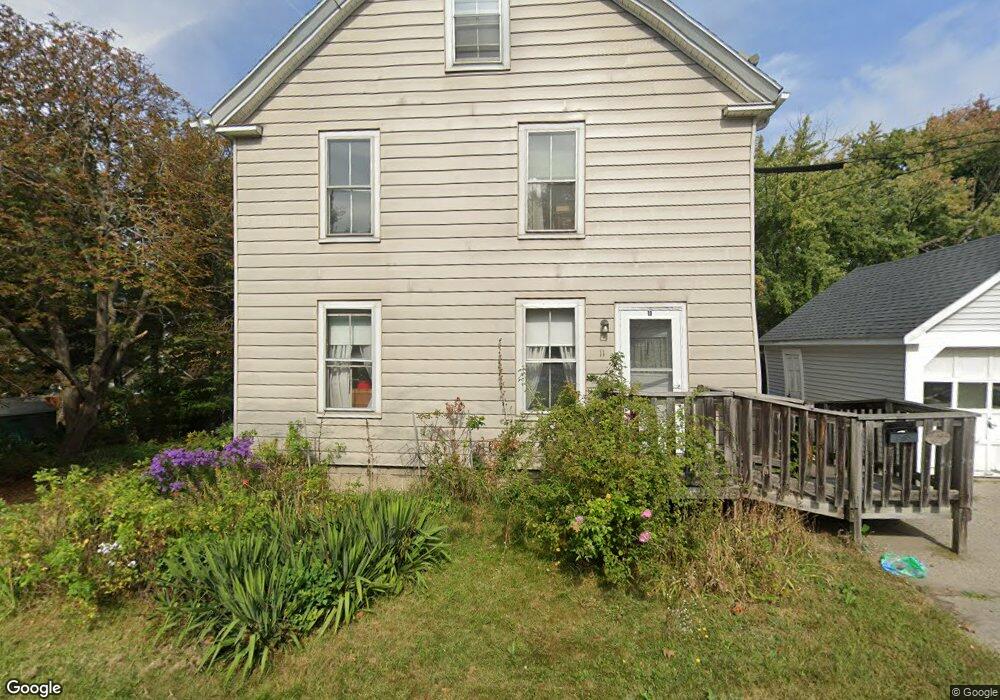
11 Mardale Ave South Portland, ME 04106
Thornton Heights NeighborhoodEstimated Value: $465,950 - $495,000
4
Beds
1
Bath
1,560
Sq Ft
$312/Sq Ft
Est. Value
About This Home
This home is located at 11 Mardale Ave, South Portland, ME 04106 and is currently estimated at $486,738, approximately $312 per square foot. 11 Mardale Ave is a home located in Cumberland County with nearby schools including Waldo T. Skillin Elementary School, Birch Run Progressive High School, and Greater Portland Christian School.
Ownership History
Date
Name
Owned For
Owner Type
Purchase Details
Closed on
Mar 14, 2016
Sold by
Myatt Thomas G Est
Bought by
Myatt Patricia A
Current Estimated Value
Purchase Details
Closed on
Jul 14, 2015
Sold by
Myatt Thomas G Est
Bought by
Myatt Patricia A
Purchase Details
Closed on
Jun 5, 2009
Sold by
Myatt Gerard
Bought by
Myatt Patricia
Purchase Details
Closed on
Mar 26, 2008
Sold by
Myatt William A Est
Bought by
Myatt Thomas G
Create a Home Valuation Report for This Property
The Home Valuation Report is an in-depth analysis detailing your home's value as well as a comparison with similar homes in the area
Home Values in the Area
Average Home Value in this Area
Purchase History
| Date | Buyer | Sale Price | Title Company |
|---|---|---|---|
| Myatt Patricia A | -- | -- | |
| Myatt Patricia A | -- | -- | |
| Myatt Patricia | -- | -- | |
| Myatt Patricia | -- | -- | |
| Myatt Patrick Est | -- | -- | |
| Myatt Thomas G | -- | -- |
Source: Public Records
Tax History Compared to Growth
Tax History
| Year | Tax Paid | Tax Assessment Tax Assessment Total Assessment is a certain percentage of the fair market value that is determined by local assessors to be the total taxable value of land and additions on the property. | Land | Improvement |
|---|---|---|---|---|
| 2024 | $4,698 | $355,900 | $140,700 | $215,200 |
| 2023 | $3,840 | $271,600 | $85,500 | $186,100 |
| 2022 | $3,699 | $237,700 | $68,400 | $169,300 |
| 2021 | $3,494 | $237,700 | $68,400 | $169,300 |
| 2020 | $3,257 | $164,900 | $67,600 | $97,300 |
| 2019 | $3,150 | $164,900 | $67,600 | $97,300 |
| 2018 | $3,132 | $169,300 | $67,600 | $101,700 |
| 2017 | $3,047 | $169,300 | $67,600 | $101,700 |
| 2016 | $2,997 | $169,300 | $67,600 | $101,700 |
| 2015 | $2,946 | $169,300 | $67,600 | $101,700 |
| 2014 | -- | $169,300 | $67,600 | $101,700 |
| 2013 | -- | $169,300 | $67,600 | $101,700 |
Source: Public Records
Map
Nearby Homes
- 1 & 9 Franklin Terrace
- 23 Kenneth Rd
- 7 Kenneth Rd
- 26 Grandview Ave
- 18 Plover Way Unit 29
- 24 Plover Way Unit 34
- 17 Plover Way Unit 27
- 15 Plover Way Unit 24
- 16 Plover Way Unit 26
- 20 Plover Way Unit 30
- 22 Plover Way Unit 33
- 14 Plover Way Unit 25
- 21 Plover Way Unit 34
- 23 Aspen Ave
- 124 Westbrook St
- 67 Brigham St
- 46 Burwell Ave
- 56 Peary Terrace
- 17 b Peary Terrace
- 1309 Broadway