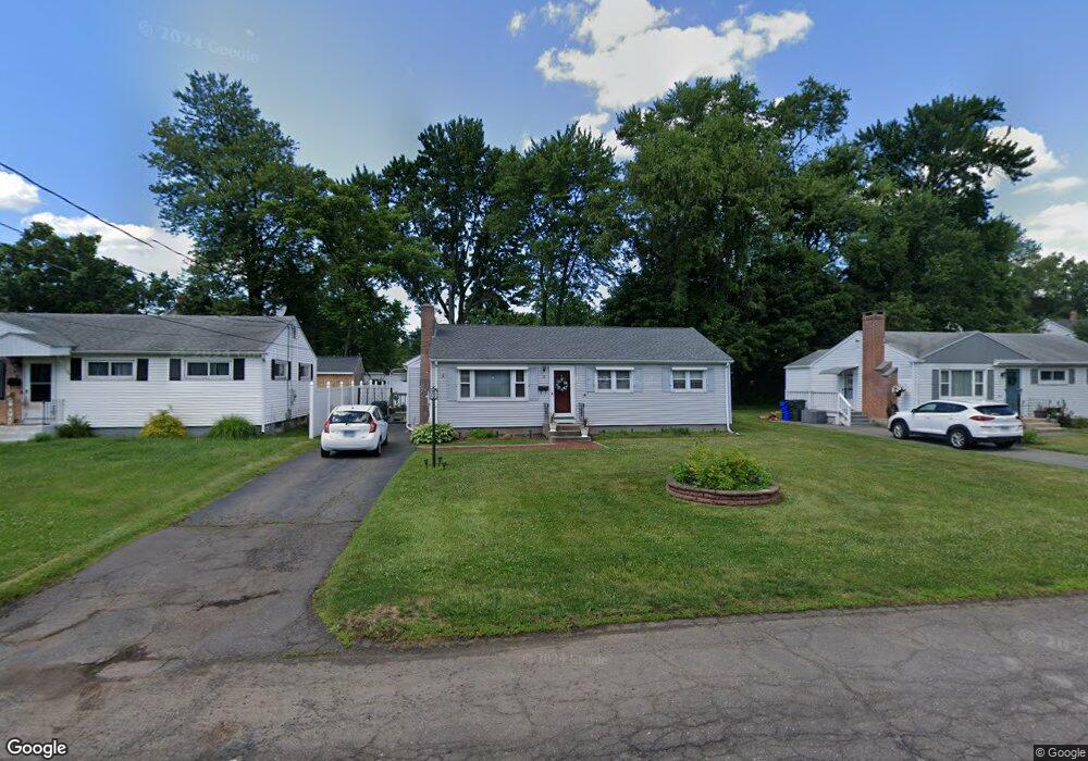
11 Marmor Ct Wethersfield, CT 06109
Estimated Value: $363,000 - $370,000
3
Beds
1
Bath
1,236
Sq Ft
$296/Sq Ft
Est. Value
About This Home
This home is located at 11 Marmor Ct, Wethersfield, CT 06109 and is currently estimated at $366,431, approximately $296 per square foot. 11 Marmor Ct is a home located in Hartford County with nearby schools including Emerson-Williams School, Silas Deane Middle School, and Wethersfield High School.
Ownership History
Date
Name
Owned For
Owner Type
Purchase Details
Closed on
Jul 24, 2006
Sold by
Johnson Diane M
Bought by
Machado Joao C and Machado Lidia
Current Estimated Value
Home Financials for this Owner
Home Financials are based on the most recent Mortgage that was taken out on this home.
Original Mortgage
$180,000
Outstanding Balance
$106,980
Interest Rate
6.67%
Estimated Equity
$259,451
Create a Home Valuation Report for This Property
The Home Valuation Report is an in-depth analysis detailing your home's value as well as a comparison with similar homes in the area
Home Values in the Area
Average Home Value in this Area
Purchase History
| Date | Buyer | Sale Price | Title Company |
|---|---|---|---|
| Machado Joao C | $225,000 | -- |
Source: Public Records
Mortgage History
| Date | Status | Borrower | Loan Amount |
|---|---|---|---|
| Open | Machado Joao C | $180,000 | |
| Previous Owner | Machado Joao C | $99,000 | |
| Previous Owner | Machado Joao C | $20,000 | |
| Previous Owner | Machado Joao C | $66,000 |
Source: Public Records
Tax History
| Year | Tax Paid | Tax Assessment Tax Assessment Total Assessment is a certain percentage of the fair market value that is determined by local assessors to be the total taxable value of land and additions on the property. | Land | Improvement |
|---|---|---|---|---|
| 2025 | $8,595 | $208,520 | $90,050 | $118,470 |
| 2024 | $5,814 | $134,510 | $64,440 | $70,070 |
| 2023 | $5,620 | $134,510 | $64,440 | $70,070 |
| 2022 | $5,526 | $134,510 | $64,440 | $70,070 |
| 2021 | $5,471 | $134,510 | $64,440 | $70,070 |
| 2020 | $5,473 | $134,510 | $64,440 | $70,070 |
| 2019 | $5,480 | $134,510 | $64,440 | $70,070 |
| 2018 | $5,526 | $135,500 | $60,700 | $74,800 |
| 2017 | $5,389 | $135,500 | $60,700 | $74,800 |
| 2016 | $5,222 | $135,500 | $60,700 | $74,800 |
| 2015 | $5,175 | $135,500 | $60,700 | $74,800 |
| 2014 | $4,978 | $135,500 | $60,700 | $74,800 |
Source: Public Records
Map
Nearby Homes
- 750 Wolcott Hill Rd
- 38 Wheeler Rd
- 137 Dale Rd
- 250 Edward St
- 108 Chamberlain Rd
- 131 Coleman Rd
- 35 Stillwold Dr
- 31 Ox Yoke Dr
- 89 Merriman Rd
- 147 Spring St
- 455 Brimfield Rd
- 195 Middletown Ave
- 91 Somerset St
- 87 Somerset St
- 11 Charter Rd
- 764 Ridge Rd
- 23 Hillcrest Ave
- 1 Fernwood St
- 192 Wolcott Hill Rd
- 317-319 Garden St
- 7 Marmor Ct
- 15 Marmor Ct
- 694 Wolcott Hill Rd
- 702 Wolcott Hill Rd
- 21 Marmor Ct
- 690 Wolcott Hill Rd
- 12 Marmor Ct
- 18 Marmor Ct
- 8 Marmor Ct
- 684 Wolcott Hill Rd
- 25 Marmor Ct
- 16 Beverly Rd
- 22 Marmor Ct
- 2 Marmor Ct
- 22 Beverly Rd
- 691 Wolcott Hill Rd Unit 693
- 26 Marmor Ct
- 31 Marmor Ct
- 720 Wolcott Hill Rd
- 26 Beverly Rd
Your Personal Tour Guide
Ask me questions while you tour the home.