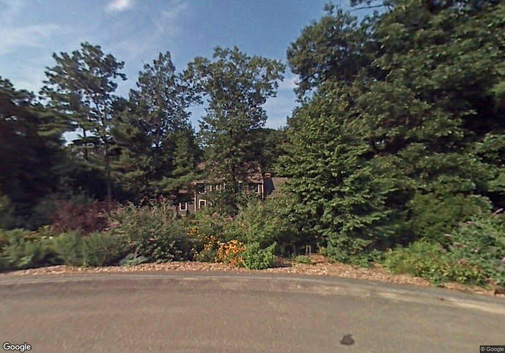
11 Matthew Ln Sterling, MA 01564
Estimated Value: $733,000 - $1,145,000
4
Beds
3
Baths
2,488
Sq Ft
$345/Sq Ft
Est. Value
About This Home
This home is located at 11 Matthew Ln, Sterling, MA 01564 and is currently estimated at $858,987, approximately $345 per square foot. 11 Matthew Ln is a home located in Worcester County with nearby schools including Wachusett Regional High School and South Lancaster Academy.
Ownership History
Date
Name
Owned For
Owner Type
Purchase Details
Closed on
Oct 30, 2014
Sold by
Handler Scott R and Larson Marion E
Bought by
Marion E Larson Ret
Current Estimated Value
Purchase Details
Closed on
Dec 14, 1998
Sold by
Cd Corrinne Bldrs
Bought by
Handler Scott R and Larson Marion E
Create a Home Valuation Report for This Property
The Home Valuation Report is an in-depth analysis detailing your home's value as well as a comparison with similar homes in the area
Home Values in the Area
Average Home Value in this Area
Purchase History
| Date | Buyer | Sale Price | Title Company |
|---|---|---|---|
| Marion E Larson Ret | -- | -- | |
| Handler Scott R | $364,100 | -- |
Source: Public Records
Mortgage History
| Date | Status | Borrower | Loan Amount |
|---|---|---|---|
| Previous Owner | Handler Scott R | $208,000 | |
| Previous Owner | Handler Scott R | $240,000 | |
| Previous Owner | Handler Scott R | $277,000 | |
| Previous Owner | Handler Scott R | $85,000 |
Source: Public Records
Tax History Compared to Growth
Tax History
| Year | Tax Paid | Tax Assessment Tax Assessment Total Assessment is a certain percentage of the fair market value that is determined by local assessors to be the total taxable value of land and additions on the property. | Land | Improvement |
|---|---|---|---|---|
| 2025 | $9,368 | $727,300 | $188,800 | $538,500 |
| 2024 | $9,268 | $696,300 | $182,700 | $513,600 |
| 2023 | $8,589 | $600,600 | $174,600 | $426,000 |
| 2022 | $7,860 | $515,400 | $153,300 | $362,100 |
| 2021 | $7,601 | $492,700 | $150,600 | $342,100 |
| 2020 | $8,452 | $502,800 | $163,700 | $339,100 |
| 2019 | $8,091 | $468,500 | $163,700 | $304,800 |
| 2018 | $17,281 | $452,100 | $157,400 | $294,700 |
| 2017 | $7,405 | $410,700 | $144,600 | $266,100 |
| 2016 | $7,284 | $397,400 | $144,600 | $252,800 |
| 2015 | $6,702 | $387,600 | $144,100 | $243,500 |
| 2014 | $6,447 | $380,800 | $144,100 | $236,700 |
Source: Public Records
Map
Nearby Homes
- 6 Ashton Ln
- 45 Kendall Hill Rd
- 4 Redstone Hill Rd
- 19 James Rd
- 25 North Row
- 5 Leo's Way Unit 1
- 7 Leo's Way Unit 1
- 96 Clinton Rd
- 41 Meetinghouse Hill Rd
- 45 Meetinghouse Hill Rd
- 2 Stuart Rd
- 6 Belmont Dr
- 5 Pine Woods Ln
- 20 Woodside Dr
- 17 Taft Rd
- 19 Fitch Farm Rd
- 290 Sterling St
- 271 Sterling St
- 28 Sandy Ridge Rd
- 54 S Meadow Rd
- 12 Matthew Ln
- 9 Matthew Ln
- 10 Matthew Ln
- 7 Matthew Ln
- 7 Matthew Ln
- 8 Matthew Ln
- 5 Matthew Ln
- 20 Shamrock Way Unit 20
- 24 Shamrock Way Unit 24
- 22 Shamrock Way Unit 22
- 18 Shamrock Way Unit 18
- 32 Shamrock Way Unit 32
- 30 Shamrock Way Unit 30
- 16 Shamrock Way Unit 16
- 26 Shamrock Way Unit 26
- 12 Shamrock Way Unit 12
- 28 Shamrock Way Unit 28
- 10 Shamrock Way Unit 10
- 11 Redstone Place
- 13 Redstone Place