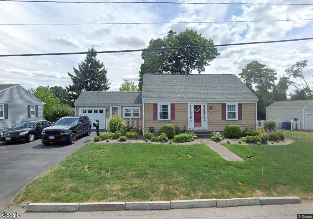
11 Merritt Rd Riverside, RI 02915
Kent Heights NeighborhoodEstimated Value: $451,000 - $489,000
3
Beds
2
Baths
1,520
Sq Ft
$310/Sq Ft
Est. Value
About This Home
This home is located at 11 Merritt Rd, Riverside, RI 02915 and is currently estimated at $471,081, approximately $309 per square foot. 11 Merritt Rd is a home located in Providence County with nearby schools including East Providence High School, St Mary Academy-Bay View, and The Gordon School.
Ownership History
Date
Name
Owned For
Owner Type
Purchase Details
Closed on
Dec 29, 1997
Sold by
Oleary John P and Monteiro Albert G
Bought by
Caldeira Mario and Caldeira Rita
Current Estimated Value
Create a Home Valuation Report for This Property
The Home Valuation Report is an in-depth analysis detailing your home's value as well as a comparison with similar homes in the area
Home Values in the Area
Average Home Value in this Area
Purchase History
| Date | Buyer | Sale Price | Title Company |
|---|---|---|---|
| Caldeira Mario | $118,000 | -- |
Source: Public Records
Mortgage History
| Date | Status | Borrower | Loan Amount |
|---|---|---|---|
| Open | Caldeira Mario | $30,000 | |
| Closed | Caldeira Mario | $20,000 | |
| Open | Caldeira Mario | $200,000 | |
| Closed | Caldeira Mario | $40,000 |
Source: Public Records
Tax History Compared to Growth
Tax History
| Year | Tax Paid | Tax Assessment Tax Assessment Total Assessment is a certain percentage of the fair market value that is determined by local assessors to be the total taxable value of land and additions on the property. | Land | Improvement |
|---|---|---|---|---|
| 2025 | $5,449 | $416,900 | $153,400 | $263,500 |
| 2024 | $5,442 | $355,000 | $127,800 | $227,200 |
| 2023 | $5,240 | $355,000 | $127,800 | $227,200 |
| 2022 | $4,975 | $227,600 | $73,900 | $153,700 |
| 2021 | $4,893 | $227,600 | $72,700 | $154,900 |
| 2020 | $4,686 | $227,600 | $72,700 | $154,900 |
| 2019 | $4,557 | $227,600 | $72,700 | $154,900 |
| 2018 | $4,247 | $185,600 | $56,300 | $129,300 |
| 2017 | $4,152 | $185,600 | $56,300 | $129,300 |
| 2016 | $4,131 | $185,600 | $56,300 | $129,300 |
| 2015 | $4,227 | $184,200 | $52,100 | $132,100 |
| 2014 | $4,227 | $184,200 | $52,100 | $132,100 |
Source: Public Records
Map
Nearby Homes
- 59 Merritt Rd
- 10 Fairfield Ave
- 53 Wampanoag Trail
- 108 Ivan Ave
- 36 Gerald St
- 14 Waterview Ave Unit 16
- 50 Kettle Point Ave Unit 50
- 87 Vincent Ave
- 740 Veterans Memorial Pkwy
- 180 Grassmere Ave
- 1463 S Broadway
- 74 Brookhaven Dr
- 25 Ide Ave
- 3421 Pawtucket Ave
- 6 Fuller Ave
- 25 Bullocks Point Ave Unit 5C
- 31 Bullocks Point Ave Unit 2A
- 43 Bullocks Point Ave Unit 4C
- 1 Fales St
- 75 Belmont Ave
- 19 Merritt Rd
- 2960 Pawtucket Ave
- 8 Merritt Rd
- 23 Merritt Rd
- 6 Merritt Rd
- 18 Merritt Rd
- 15 Curtis Ln
- 29 Merritt Rd
- 1 Curtis Ln
- 3040-3048 Pawtucket Ave
- 2938 Pawtucket Ave
- 24 Merritt Rd
- 2987 Pawtucket Ave
- 2951 Pawtucket Ave
- 0 Pawtucket Ave
- 35 Merritt Rd
- 32 Merritt Rd
- 1000 Veterans Memorial Pkwy
- 57 Armington Ave
- 38 Merritt Rd