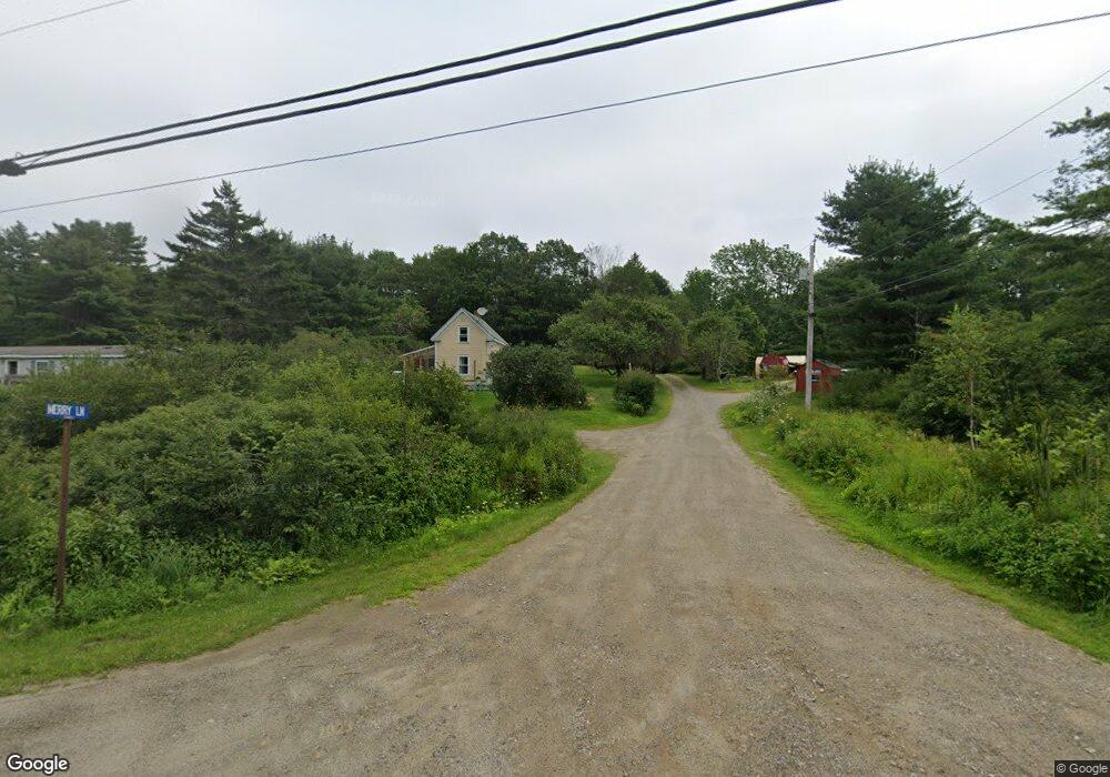
11 Merry Ln Boothbay, ME 04537
Estimated Value: $529,865 - $909,000
3
Beds
2
Baths
1,120
Sq Ft
$675/Sq Ft
Est. Value
About This Home
This home is located at 11 Merry Ln, Boothbay, ME 04537 and is currently estimated at $756,466, approximately $675 per square foot. 11 Merry Ln is a home located in Lincoln County with nearby schools including Boothbay Region Elementary School and Boothbay Region High School.
Ownership History
Date
Name
Owned For
Owner Type
Purchase Details
Closed on
Feb 29, 2012
Sold by
Miller Allan K and Burke Pamela J
Bought by
Newding Robert H
Current Estimated Value
Purchase Details
Closed on
Jan 18, 2005
Sold by
Chagan Jack R
Bought by
Burke Pamela J and Miller Allan
Home Financials for this Owner
Home Financials are based on the most recent Mortgage that was taken out on this home.
Original Mortgage
$300,000
Interest Rate
5.81%
Mortgage Type
Purchase Money Mortgage
Create a Home Valuation Report for This Property
The Home Valuation Report is an in-depth analysis detailing your home's value as well as a comparison with similar homes in the area
Home Values in the Area
Average Home Value in this Area
Purchase History
| Date | Buyer | Sale Price | Title Company |
|---|---|---|---|
| Newding Robert H | -- | -- | |
| Burke Pamela J | -- | -- |
Source: Public Records
Mortgage History
| Date | Status | Borrower | Loan Amount |
|---|---|---|---|
| Previous Owner | Burke Pamela J | $300,000 |
Source: Public Records
Tax History Compared to Growth
Tax History
| Year | Tax Paid | Tax Assessment Tax Assessment Total Assessment is a certain percentage of the fair market value that is determined by local assessors to be the total taxable value of land and additions on the property. | Land | Improvement |
|---|---|---|---|---|
| 2024 | $3,866 | $340,654 | $181,728 | $158,926 |
| 2023 | $3,424 | $340,654 | $181,728 | $158,926 |
| 2022 | $3,168 | $340,654 | $181,728 | $158,926 |
| 2021 | $3,253 | $340,654 | $181,728 | $158,926 |
| 2020 | $3,270 | $340,654 | $181,728 | $158,926 |
| 2019 | $3,219 | $340,654 | $181,728 | $158,926 |
| 2018 | $3,168 | $340,654 | $181,728 | $158,926 |
| 2017 | $3,822 | $415,400 | $300,600 | $114,800 |
| 2016 | $3,656 | $415,400 | $300,600 | $114,800 |
| 2015 | $3,635 | $415,400 | $300,600 | $114,800 |
| 2014 | $3,531 | $415,400 | $300,600 | $114,800 |
Source: Public Records
Map
Nearby Homes
- 239 Ocean Point Rd
- 210 Ocean Point Rd
- 5 Massachusetts Ave
- 23 Meadow Cove Rd
- 35 Rice Rd
- 98 Meadow Cove Rd
- 12 Westwind Dr
- 28 & 31 Will Alley Rd
- 127 Appalachee Rd
- 25 Pineview Ridge Rd
- 19 Hill Rd
- 44 King Phillips Trail
- 86 Firth Dr
- 74 & 76 Bay St
- 31 Bay St
- Lts 23A&24 Birch Island
- Birch Island
- 66 Townsend Ave
- 43 Oak St
- 66 Townsend Avenue & 43 Oak St
- 11 Murray Hill Rd
- 13 Murray Hill Rd
- 13 Merry Ln
- 17 Murray Hill Rd
- 259 Ocean Point Rd
- 255 Ocean Point Rd
- 247 Ocean Point Rd
- 209 Ocean Point Rd
- 211 Ocean Point Rd
- 243 Ocean Point Rd
- 211 Ocean Point Rd
- 00 Murray Hill
- 39 Merry Ln
- 29 Murray Hill Rd
- 263 Ocean Point Rd
- 29 & 39 Murray Hill Rd
- 29 Merry Ln
- 264 Ocean Point Rd
- 235 Ocean Point Rd
- 49 Merry Ln