11 Michigan Dr Hudson, MA 01749
Estimated Value: $517,210 - $541,000
3
Beds
1
Bath
984
Sq Ft
$535/Sq Ft
Est. Value
About This Home
This home is located at 11 Michigan Dr, Hudson, MA 01749 and is currently estimated at $526,553, approximately $535 per square foot. 11 Michigan Dr is a home located in Middlesex County with nearby schools including David J. Quinn Middle School, Hudson High School, and First Steps Children's Center.
Ownership History
Date
Name
Owned For
Owner Type
Purchase Details
Closed on
Jul 29, 2015
Sold by
Young Paul and Richardson Charlotte L
Bought by
Richardson Young Lt
Current Estimated Value
Purchase Details
Closed on
Dec 15, 2004
Sold by
Houde Charlotte L and Richardson Charlotte L
Bought by
Richardson Charlotte L and Young Paul
Purchase Details
Closed on
Dec 30, 1980
Bought by
Lt Young Richardson
Create a Home Valuation Report for This Property
The Home Valuation Report is an in-depth analysis detailing your home's value as well as a comparison with similar homes in the area
Home Values in the Area
Average Home Value in this Area
Purchase History
| Date | Buyer | Sale Price | Title Company |
|---|---|---|---|
| Richardson Young Lt | -- | -- | |
| Richardson Young Lt | -- | -- | |
| Richardson Charlotte L | -- | -- | |
| Richardson Charlotte L | -- | -- | |
| Lt Young Richardson | -- | -- |
Source: Public Records
Tax History Compared to Growth
Tax History
| Year | Tax Paid | Tax Assessment Tax Assessment Total Assessment is a certain percentage of the fair market value that is determined by local assessors to be the total taxable value of land and additions on the property. | Land | Improvement |
|---|---|---|---|---|
| 2025 | $6,364 | $458,500 | $186,500 | $272,000 |
| 2024 | $6,061 | $432,900 | $169,400 | $263,500 |
| 2023 | $5,776 | $395,600 | $162,900 | $232,700 |
| 2022 | $5,559 | $350,500 | $148,000 | $202,500 |
| 2021 | $5,262 | $317,200 | $141,000 | $176,200 |
| 2020 | $5,254 | $316,300 | $138,300 | $178,000 |
| 2019 | $5,070 | $297,700 | $138,300 | $159,400 |
| 2018 | $5,926 | $268,600 | $131,800 | $136,800 |
| 2017 | $4,730 | $270,300 | $125,500 | $144,800 |
| 2016 | $4,374 | $253,000 | $125,500 | $127,500 |
| 2015 | $3,924 | $227,200 | $125,500 | $101,700 |
| 2014 | $3,616 | $207,600 | $109,900 | $97,700 |
Source: Public Records
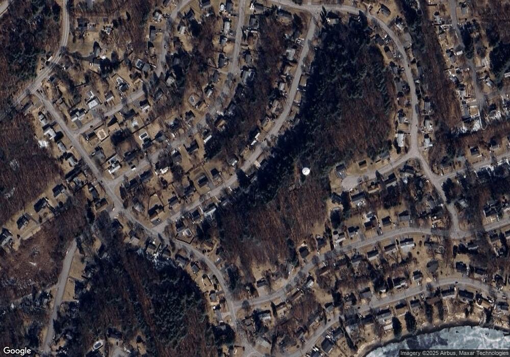
Map
Nearby Homes
- 129 Fort Meadow Dr
- 18 Collins Dr
- 1 Rotherham Way Unit B
- 48 Jewell Rd Unit Lot 6
- 46 Jewell Rd Unit Lot 5
- 44 Jewell Rd Unit Lot 4
- 30 Jewell Rd Unit Lot 2
- 36 Jewell Rd Unit Lot 3
- 2 Blueberry Ln
- 57 Paquin Dr
- 18 Amory Rd
- 8 Abigail Dr
- 9 & 9A Abigail
- 3 Townsend Rd
- 132 Hosmer St
- 34 Woodrow St
- 56 Forest Ave
- 44 Stevens Rd
- 114 Lodi Rd
- 0 Washington St