11 Mill Rd Plainfield, NH 03781
Cornish Colony NeighborhoodEstimated Value: $625,000 - $914,000
3
Beds
3
Baths
3,239
Sq Ft
$229/Sq Ft
Est. Value
About This Home
This home is located at 11 Mill Rd, Plainfield, NH 03781 and is currently estimated at $741,582, approximately $228 per square foot. 11 Mill Rd is a home with nearby schools including Plainfield Elementary School, Lebanon High School, and Estabrook Christian School.
Ownership History
Date
Name
Owned For
Owner Type
Purchase Details
Closed on
Nov 3, 2009
Sold by
Burling Philip
Bought by
Temple Jean
Current Estimated Value
Home Financials for this Owner
Home Financials are based on the most recent Mortgage that was taken out on this home.
Original Mortgage
$40,000
Interest Rate
5.06%
Mortgage Type
Purchase Money Mortgage
Create a Home Valuation Report for This Property
The Home Valuation Report is an in-depth analysis detailing your home's value as well as a comparison with similar homes in the area
Home Values in the Area
Average Home Value in this Area
Purchase History
| Date | Buyer | Sale Price | Title Company |
|---|---|---|---|
| Temple Jean | $60,000 | -- |
Source: Public Records
Mortgage History
| Date | Status | Borrower | Loan Amount |
|---|---|---|---|
| Open | Temple Jean | $160,200 | |
| Closed | Temple Jean | $159,900 | |
| Closed | Temple Jean | $40,000 |
Source: Public Records
Tax History
| Year | Tax Paid | Tax Assessment Tax Assessment Total Assessment is a certain percentage of the fair market value that is determined by local assessors to be the total taxable value of land and additions on the property. | Land | Improvement |
|---|---|---|---|---|
| 2023 | $11,387 | $723,000 | $189,000 | $534,000 |
| 2022 | $11,407 | $458,100 | $109,700 | $348,400 |
| 2021 | $12,163 | $458,100 | $109,700 | $348,400 |
| 2020 | $11,636 | $458,100 | $109,700 | $348,400 |
| 2019 | $11,911 | $458,100 | $109,700 | $348,400 |
| 2018 | $11,987 | $445,600 | $109,700 | $335,900 |
| 2017 | $11,162 | $395,100 | $92,200 | $302,900 |
| 2016 | $11,201 | $395,100 | $92,200 | $302,900 |
| 2015 | $10,766 | $395,100 | $92,200 | $302,900 |
| 2014 | $10,865 | $395,100 | $92,200 | $302,900 |
| 2013 | $10,865 | $395,100 | $92,200 | $302,900 |
Source: Public Records
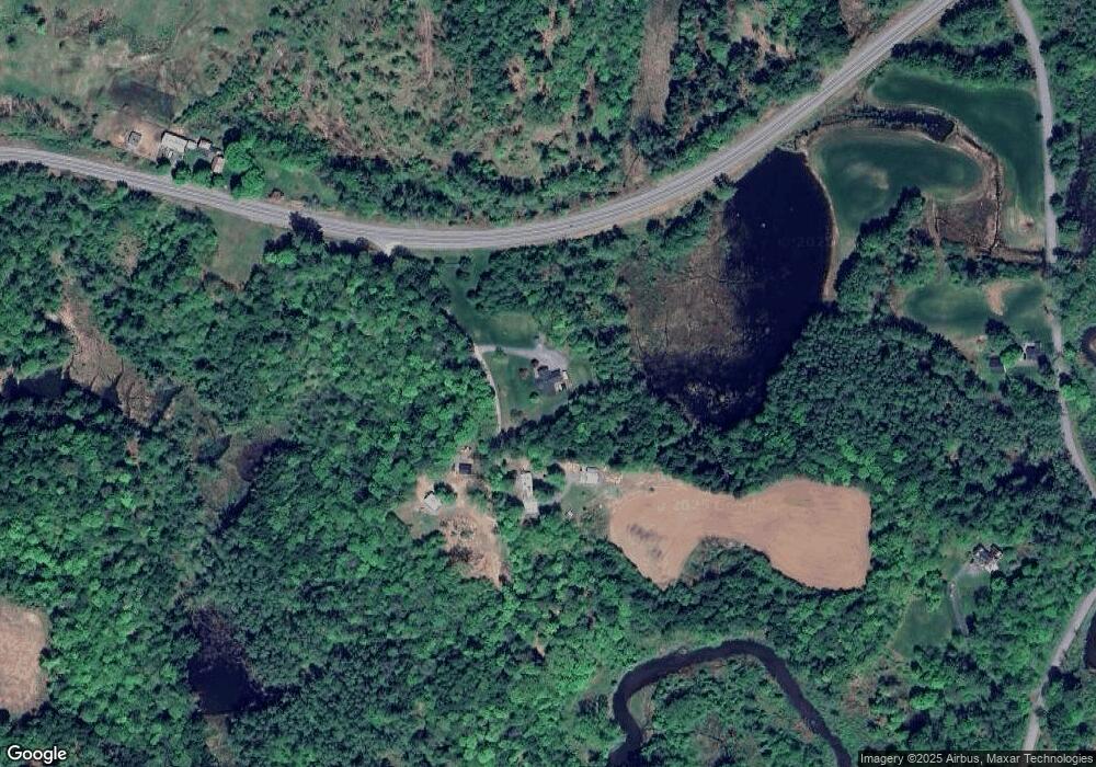
Map
Nearby Homes
- 19 Spruce Park Dr
- 273 Route 5 N
- 223 Taylor Dr
- 00 New Hampshire 12a Unit 7
- 30 Vermont Route 12
- 846 Route 12a
- 00 Barber Ln
- 14 Summarsell Dr Unit 16
- 89 Route 12
- 64 State St
- 56 Mount Hunger Rd
- 5 Brownsville Rd
- 74 Union St
- 3 Cherry St
- 763 Center Rd
- 528 Town House Rd
- 7 Best Rd
- 579 Town House Rd
- 282 Skunk Hollow Rd
- 00 Tandy Brook Rd Unit 12
Your Personal Tour Guide
Ask me questions while you tour the home.