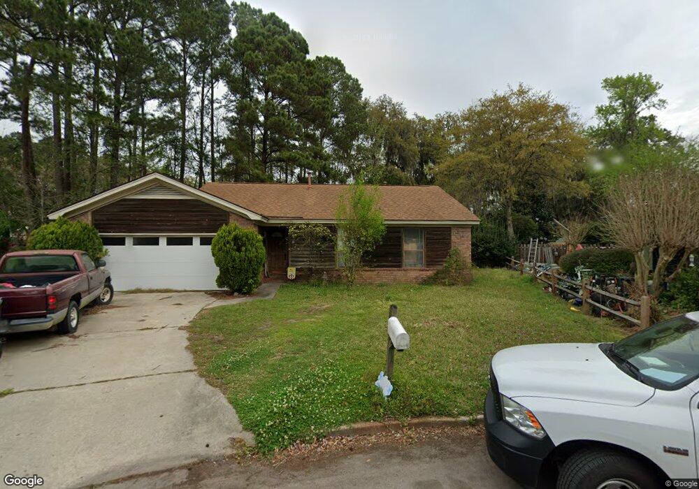
11 Mulberry Ct Savannah, GA 31406
Norwood-Wylly Island NeighborhoodEstimated Value: $260,000 - $324,000
3
Beds
2
Baths
1,398
Sq Ft
$206/Sq Ft
Est. Value
About This Home
This home is located at 11 Mulberry Ct, Savannah, GA 31406 and is currently estimated at $287,403, approximately $205 per square foot. 11 Mulberry Ct is a home located in Chatham County with nearby schools including Isle Of Hope School, Johnson High School, and Oglethorpe Charter School.
Ownership History
Date
Name
Owned For
Owner Type
Purchase Details
Closed on
Apr 1, 2024
Sold by
Dubois Carl T
Bought by
Brantley Taylor
Current Estimated Value
Home Financials for this Owner
Home Financials are based on the most recent Mortgage that was taken out on this home.
Original Mortgage
$228,000
Outstanding Balance
$224,632
Interest Rate
6.94%
Mortgage Type
New Conventional
Estimated Equity
$62,771
Create a Home Valuation Report for This Property
The Home Valuation Report is an in-depth analysis detailing your home's value as well as a comparison with similar homes in the area
Home Values in the Area
Average Home Value in this Area
Purchase History
| Date | Buyer | Sale Price | Title Company |
|---|---|---|---|
| Brantley Taylor | $240,000 | -- |
Source: Public Records
Mortgage History
| Date | Status | Borrower | Loan Amount |
|---|---|---|---|
| Open | Brantley Taylor | $228,000 |
Source: Public Records
Tax History Compared to Growth
Tax History
| Year | Tax Paid | Tax Assessment Tax Assessment Total Assessment is a certain percentage of the fair market value that is determined by local assessors to be the total taxable value of land and additions on the property. | Land | Improvement |
|---|---|---|---|---|
| 2025 | $1,627 | $89,280 | $20,000 | $69,280 |
| 2024 | $1,627 | $80,640 | $20,000 | $60,640 |
| 2023 | $1,338 | $74,800 | $20,000 | $54,800 |
| 2022 | $1,329 | $57,840 | $15,400 | $42,440 |
| 2021 | $2,079 | $55,680 | $15,400 | $40,280 |
| 2020 | $1,334 | $55,680 | $15,400 | $40,280 |
| 2019 | $2,078 | $55,680 | $15,400 | $40,280 |
| 2018 | $1,533 | $55,080 | $15,400 | $39,680 |
| 2017 | $1,365 | $56,240 | $15,400 | $40,840 |
| 2016 | $1,194 | $56,560 | $15,400 | $41,160 |
| 2015 | $1,748 | $11,800 | $0 | $0 |
| 2014 | $1,709 | $58,240 | $0 | $0 |
Source: Public Records
Map
Nearby Homes
- 9 Mulberry Ct
- 20 Lansing Ave Unit C
- 3 Brighton Way
- 19 Arline Dr
- 0 Skinner Place
- 0 Skinner Place Unit 10588694
- 2511 Little John Ct
- 7 Bakers Crossing
- 111 S Robinhood Dr
- 6 Egrets Nest Dr
- 102 Hope Ln Unit B
- 4 Cross Bow Ct
- 18 Egrets Nest Dr
- 109 Canter Ct
- 7216 Garfield St
- 106 Hunt Club Ct
- 7206 Garfield St
- 7308 Garfield St
- 19 Robin Hood Dr
- 117 Hope Ln Unit A
- 13 Mulberry Ct
- 7 Mulberry Ct
- 15 Brighton Way
- 12 Mulberry Ct
- 12 Silver Leaf Ct
- 14 Brighton Way
- 10 Silver Leaf Ct
- 10 Mulberry Ct
- 13 Chestley Place
- 8 Mulberry Ct
- 13 Brighton Way
- 8 Silver Leaf Ct
- 5 Mulberry Ct
- 12 Brighton Way
- 13 Silver Leaf Ct
- 10 Chestley Place
- 11 Chestley Place
- 6 Mulberry Ct
- 11 Brighton Way
- 11 Silver Leaf Ct