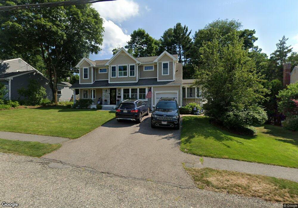
11 Murdoch Rd Natick, MA 01760
Estimated Value: $1,215,000 - $1,413,000
4
Beds
4
Baths
2,720
Sq Ft
$477/Sq Ft
Est. Value
About This Home
This home is located at 11 Murdoch Rd, Natick, MA 01760 and is currently estimated at $1,296,118, approximately $476 per square foot. 11 Murdoch Rd is a home located in Middlesex County with nearby schools including Natick High School, Lilja Elementary School, and Wilson Middle School.
Ownership History
Date
Name
Owned For
Owner Type
Purchase Details
Closed on
Apr 18, 2008
Sold by
Nala Rt
Bought by
Smith Charles M and Smith Kristine C
Current Estimated Value
Home Financials for this Owner
Home Financials are based on the most recent Mortgage that was taken out on this home.
Original Mortgage
$417,000
Outstanding Balance
$265,938
Interest Rate
6.1%
Mortgage Type
Purchase Money Mortgage
Estimated Equity
$1,030,180
Purchase Details
Closed on
Jul 13, 2007
Sold by
Oconnor John J and Principal Res Mtg Inc
Bought by
Davis Tr Derek and Davis Edward
Create a Home Valuation Report for This Property
The Home Valuation Report is an in-depth analysis detailing your home's value as well as a comparison with similar homes in the area
Home Values in the Area
Average Home Value in this Area
Purchase History
| Date | Buyer | Sale Price | Title Company |
|---|---|---|---|
| Smith Charles M | $610,000 | -- | |
| Davis Tr Derek | $317,000 | -- |
Source: Public Records
Mortgage History
| Date | Status | Borrower | Loan Amount |
|---|---|---|---|
| Open | Smith Charles M | $417,000 |
Source: Public Records
Tax History Compared to Growth
Tax History
| Year | Tax Paid | Tax Assessment Tax Assessment Total Assessment is a certain percentage of the fair market value that is determined by local assessors to be the total taxable value of land and additions on the property. | Land | Improvement |
|---|---|---|---|---|
| 2025 | $12,458 | $1,041,600 | $447,000 | $594,600 |
| 2024 | $11,940 | $973,900 | $420,600 | $553,300 |
| 2023 | $11,700 | $925,600 | $402,800 | $522,800 |
| 2022 | $11,300 | $847,100 | $364,400 | $482,700 |
| 2021 | $10,772 | $791,500 | $343,600 | $447,900 |
| 2020 | $10,414 | $765,200 | $328,000 | $437,200 |
| 2019 | $9,726 | $765,200 | $328,000 | $437,200 |
| 2018 | $5,221 | $744,700 | $312,400 | $432,300 |
| 2017 | $9,512 | $705,100 | $280,500 | $424,600 |
| 2016 | $9,312 | $686,200 | $265,500 | $420,700 |
| 2015 | $8,990 | $650,500 | $265,500 | $385,000 |
Source: Public Records
Map
Nearby Homes
- 18 University Dr
- 191 E Central St
- 15 Penobscot Rd
- 31 Marion St
- 9 Arbor Cir
- 20 Marion St
- 5 Oakridge Ave
- 3 Vale St Unit B
- 67 E Central St & 5 Union St
- 62 E Central St Unit 305
- 200 Pond Rd
- 25 Sawin St
- 192 Pond Rd
- 3 Wilson St Unit 3B
- 5 Wilson St Unit 5A
- 4B Lincoln St Unit 4B
- 6B Lincoln St Unit 6B
- 11 Avon St
- 16 Harvard St
- 20 Florence St Unit B