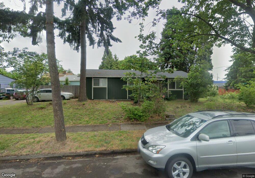
11 N Adams St Eugene, OR 97402
Whiteaker NeighborhoodEstimated Value: $370,000 - $467,000
5
Beds
2
Baths
1,728
Sq Ft
$244/Sq Ft
Est. Value
About This Home
This home is located at 11 N Adams St, Eugene, OR 97402 and is currently estimated at $421,699, approximately $244 per square foot. 11 N Adams St is a home located in Lane County with nearby schools including River Road/El Camino del Río Elementary School, Kelly Middle School, and North Eugene High School.
Ownership History
Date
Name
Owned For
Owner Type
Purchase Details
Closed on
Oct 25, 2005
Sold by
Staszewski Jan
Bought by
Rolling Bear Enterprises Llc
Current Estimated Value
Purchase Details
Closed on
Jun 20, 2005
Sold by
Rolling Bear Enterprises Llc
Bought by
Staszewski Jan
Purchase Details
Closed on
May 3, 2004
Sold by
Sonnenfeld Monique
Bought by
Rolling Bear Enterprises Llc
Purchase Details
Closed on
Apr 17, 2003
Sold by
Emerald Exchange Holding Co Llc
Bought by
Sonnenfeld Monique
Purchase Details
Closed on
Mar 17, 2003
Sold by
Miller Dean H
Bought by
Emerald Exchange Holding Co Llc
Create a Home Valuation Report for This Property
The Home Valuation Report is an in-depth analysis detailing your home's value as well as a comparison with similar homes in the area
Home Values in the Area
Average Home Value in this Area
Purchase History
| Date | Buyer | Sale Price | Title Company |
|---|---|---|---|
| Rolling Bear Enterprises Llc | -- | Cascade Title Co | |
| Staszewski Jan | -- | Cascade Title Co | |
| Rolling Bear Enterprises Llc | -- | -- | |
| Sonnenfeld Monique | -- | Western Pioneer Title Co | |
| Emerald Exchange Holding Co Llc | $155,000 | Western Pioneer Title Co |
Source: Public Records
Tax History
| Year | Tax Paid | Tax Assessment Tax Assessment Total Assessment is a certain percentage of the fair market value that is determined by local assessors to be the total taxable value of land and additions on the property. | Land | Improvement |
|---|---|---|---|---|
| 2025 | $4,258 | $218,530 | -- | -- |
| 2024 | $4,205 | $212,166 | -- | -- |
| 2023 | $4,205 | $205,987 | $0 | $0 |
| 2022 | $3,939 | $199,988 | $0 | $0 |
| 2021 | $3,700 | $194,164 | $0 | $0 |
| 2020 | $3,713 | $188,509 | $0 | $0 |
| 2019 | $3,586 | $183,019 | $0 | $0 |
| 2018 | $3,375 | $172,514 | $0 | $0 |
| 2017 | $3,224 | $172,514 | $0 | $0 |
| 2016 | $3,144 | $167,489 | $0 | $0 |
| 2015 | $3,054 | $162,611 | $0 | $0 |
| 2014 | $2,992 | $157,875 | $0 | $0 |
Source: Public Records
Map
Nearby Homes
- 9 N Monroe St Unit C
- 9 N Monroe St Unit B
- 9 N Monroe St Unit D
- 9 N Monroe St Unit A
- 211 Monroe St
- 461 Blair Blvd
- 5713 Durst St
- 1030 W 5th Ave
- 490 W 4th Ave
- 427 Washington St
- 1391 W 5th Ave
- 960 W 7th Ave
- 990 W 7th Ave
- 710 Van Buren St
- 147 Shelton McMurphey Blvd
- 780 Van Buren St
- 1230 W 7th Ave
- 104 Holeman Ave
- 875 Sand Ave
- 961 Jefferson St
Your Personal Tour Guide
Ask me questions while you tour the home.