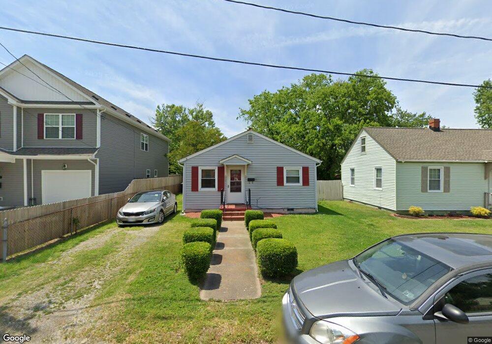
11 N Cypress St Hampton, VA 23669
Phoebus NeighborhoodEstimated Value: $180,913 - $224,000
About This Home
This home is located at 11 N Cypress St, Hampton, VA 23669 and is currently estimated at $207,228, approximately $184 per square foot. 11 N Cypress St is a home located in Hampton City with nearby schools including Capt. John Smith Elementary School, C. Alton Lindsay Middle School, and Phoebus High School.
Ownership History
We collect this data history from publicly available records. To have your information removed, we recommend requesting removal directly through your county’s website.
Purchase Details
Purchase Details
Purchase Details
Home Values in the Area
Average Home Value in this Area
Purchase History
We collect this data history from publicly available records. To have your information removed, we recommend requesting removal directly through your county’s website.
| Date | Buyer | Sale Price | Title Company |
|---|---|---|---|
| -- | None Listed On Document | ||
| -- | None Available | ||
| -- | None Available |
Tax History
We collect this data history from publicly available records. To have your information removed, we recommend requesting removal directly through your county’s website.
| Year | Tax Paid | Tax Assessment Tax Assessment Total Assessment is a certain percentage of the fair market value that is determined by local assessors to be the total taxable value of land and additions on the property. | Land | Improvement |
|---|---|---|---|---|
| 2025 | $1,907 | $153,800 | $50,000 | $103,800 |
| 2024 | $1,774 | $154,300 | $50,000 | $104,300 |
| 2023 | $1,763 | $152,000 | $50,000 | $102,000 |
| 2022 | $1,503 | $127,400 | $45,000 | $82,400 |
| 2021 | $1,438 | $105,500 | $38,000 | $67,500 |
| 2020 | $1,197 | $96,500 | $38,000 | $58,500 |
| 2019 | $1,180 | $95,200 | $38,000 | $57,200 |
| 2018 | $1,351 | $103,100 | $38,000 | $65,100 |
| 2017 | $1,372 | $0 | $0 | $0 |
| 2016 | $1,358 | $101,900 | $0 | $0 |
| 2015 | $1,403 | $0 | $0 | $0 |
| 2014 | $1,439 | $109,300 | $38,000 | $71,300 |
Map
- 7 S Cypress St
- LOT 17 Prentiss Ln
- 118 Chichester Ave
- 16 S Juniper St
- 1122 E Pembroke Ave
- 55 Calhoun St
- 8 Magnolia Place
- 573 Old Point Ave
- 108 Stonehurst Rd
- 544 River St
- 212 Dockside Dr Unit C
- 725 Oakland Ave
- 208 Woodland Rd
- 720 River St
- 718 Halifax Ave
- 168 Woodland Rd
- 421 E Pembroke Ave
- 246 Dockside Dr Unit C
- 439 Cooper St
- 240 Dockside Dr Unit C
- 7 N Cypress St
- 13 N Cypress St
- 15 N Cypress St
- 32AC N Cypress St
- 909 E Pembroke Ave
- 913 E Pembroke Ave
- 10 N Juniper St
- 907 E Pembroke Ave
- 6 N Cypress St
- 32ACR N Cypress St
- 14 N Juniper St
- 4 N Cypress St
- 10 N Cypress St
- 1001 E Pembroke Ave
- 905 E Pembroke Ave
- 1003 E Pembroke Ave
- 18 N Juniper St
- 901 E Pembroke Ave
- 901 E Pembroke Ave Unit RENT
- 1005 E Pembroke Ave
Ask me questions while you tour the home.