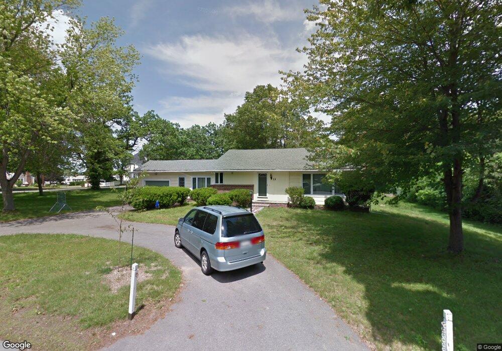
11 North St Andover, MA 01810
Shawsheen Heights NeighborhoodEstimated Value: $711,000 - $798,000
3
Beds
1
Bath
1,735
Sq Ft
$430/Sq Ft
Est. Value
About This Home
This home is located at 11 North St, Andover, MA 01810 and is currently estimated at $745,759, approximately $429 per square foot. 11 North St is a home located in Essex County with nearby schools including High Plain Elementary School, Wood Hill Middle School, and Andover High School.
Ownership History
Date
Name
Owned For
Owner Type
Purchase Details
Closed on
Jun 21, 2002
Sold by
Mauceri David A and Mauceri Julianne M
Bought by
Ono Hidetoshi and Ono Midori
Current Estimated Value
Purchase Details
Closed on
Nov 6, 2001
Sold by
Polizotti John J
Bought by
Mauceri David A and Mauceri Julianne M
Create a Home Valuation Report for This Property
The Home Valuation Report is an in-depth analysis detailing your home's value as well as a comparison with similar homes in the area
Home Values in the Area
Average Home Value in this Area
Purchase History
| Date | Buyer | Sale Price | Title Company |
|---|---|---|---|
| Ono Hidetoshi | $342,500 | -- | |
| Ono Hidetoshi | $342,500 | -- | |
| Mauceri David A | $260,000 | -- | |
| Mauceri David A | $260,000 | -- |
Source: Public Records
Mortgage History
| Date | Status | Borrower | Loan Amount |
|---|---|---|---|
| Open | Mauceri David A | $210,000 | |
| Closed | Mauceri David A | $220,000 | |
| Closed | Mauceri David A | $234,000 |
Source: Public Records
Tax History Compared to Growth
Tax History
| Year | Tax Paid | Tax Assessment Tax Assessment Total Assessment is a certain percentage of the fair market value that is determined by local assessors to be the total taxable value of land and additions on the property. | Land | Improvement |
|---|---|---|---|---|
| 2024 | $8,329 | $646,700 | $387,800 | $258,900 |
| 2023 | $8,091 | $592,300 | $359,200 | $233,100 |
| 2022 | $7,374 | $505,100 | $304,400 | $200,700 |
| 2021 | $7,043 | $460,600 | $276,600 | $184,000 |
| 2020 | $6,750 | $449,700 | $269,800 | $179,900 |
| 2019 | $6,383 | $418,000 | $242,800 | $175,200 |
| 2018 | $6,095 | $389,700 | $228,900 | $160,800 |
| 2017 | $5,828 | $383,900 | $224,500 | $159,400 |
| 2016 | $5,689 | $383,900 | $224,500 | $159,400 |
| 2015 | $5,478 | $365,900 | $215,800 | $150,100 |
Source: Public Records
Map
Nearby Homes
- 29 Glenwood Dr
- 23 Mount Vernon Cir
- 0
- 96 Beacon St
- 11 Devonshire St
- 750 Brookside Dr Unit G
- 5 Marc Ln
- 25 Clubview Dr Unit 25
- 21 Clubview Dr Unit 21
- 54 Amherst St
- 15 Beaconsfield St
- 42 Beresford St
- 37 Tewksbury St Unit 39
- 33 Jefferson St
- 8 Packard St
- 37 Crenshaw Ln Unit 37
- 11 W Hawley St
- 450 Riverside Dr Unit 1
- 18 Ames St
- 439-443 Riverside Dr
- 9 North St
- 217 Greenwood Rd
- 550 Mount Vernon St
- 1 Oakland Rd
- 659 Mount Vernon St
- 3 Oakland Rd
- 215 Greenwood Rd
- 520 Mount Vernon St
- 655 Mount Vernon St
- 8 North St
- 220 Greenwood Rd
- 4 Oakland Rd
- 5 Oakland Rd
- 213 Greenwood Rd
- 516 Mount Vernon St
- 6 North St
- 20 North St
- 6 Oakland Rd
- 216 Greenwood Rd
- 7 Oakland Rd