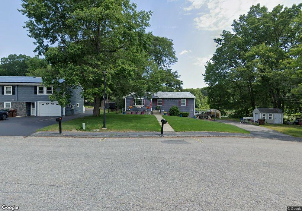
11 Old Colony Rd Auburn, MA 01501
Stoneville NeighborhoodEstimated Value: $461,000 - $492,000
3
Beds
2
Baths
1,072
Sq Ft
$441/Sq Ft
Est. Value
About This Home
This home is located at 11 Old Colony Rd, Auburn, MA 01501 and is currently estimated at $472,388, approximately $440 per square foot. 11 Old Colony Rd is a home located in Worcester County with nearby schools including Auburn Senior High School and Shrewsbury Montessori School - Auburn Campus.
Ownership History
Date
Name
Owned For
Owner Type
Purchase Details
Closed on
Mar 28, 2003
Sold by
Hight David P and Hight Gail P
Bought by
Hight David P
Current Estimated Value
Home Financials for this Owner
Home Financials are based on the most recent Mortgage that was taken out on this home.
Original Mortgage
$95,000
Outstanding Balance
$41,291
Interest Rate
5.91%
Mortgage Type
Purchase Money Mortgage
Estimated Equity
$431,097
Create a Home Valuation Report for This Property
The Home Valuation Report is an in-depth analysis detailing your home's value as well as a comparison with similar homes in the area
Home Values in the Area
Average Home Value in this Area
Purchase History
| Date | Buyer | Sale Price | Title Company |
|---|---|---|---|
| Hight David P | $40,000 | -- |
Source: Public Records
Mortgage History
| Date | Status | Borrower | Loan Amount |
|---|---|---|---|
| Open | Hight David P | $95,000 | |
| Previous Owner | Hight David P | $20,000 |
Source: Public Records
Tax History Compared to Growth
Tax History
| Year | Tax Paid | Tax Assessment Tax Assessment Total Assessment is a certain percentage of the fair market value that is determined by local assessors to be the total taxable value of land and additions on the property. | Land | Improvement |
|---|---|---|---|---|
| 2025 | $59 | $410,000 | $175,900 | $234,100 |
| 2024 | $5,818 | $389,700 | $169,300 | $220,400 |
| 2023 | $5,447 | $343,000 | $143,700 | $199,300 |
| 2022 | $5,219 | $310,300 | $143,700 | $166,600 |
| 2021 | $4,753 | $262,000 | $117,800 | $144,200 |
| 2020 | $4,711 | $262,000 | $117,800 | $144,200 |
| 2019 | $4,489 | $243,700 | $116,800 | $126,900 |
| 2018 | $4,202 | $227,900 | $109,300 | $118,600 |
| 2017 | $3,993 | $217,700 | $99,100 | $118,600 |
| 2016 | $3,998 | $221,000 | $110,100 | $110,900 |
| 2015 | $3,761 | $217,900 | $110,100 | $107,800 |
| 2014 | $3,536 | $204,500 | $104,600 | $99,900 |
Source: Public Records
Map
Nearby Homes
- 176 Boyce St
- 2 Keen St
- 177 Boyce St
- 5 Commonwealth Ave
- 177 Oxford St N
- 27 Havana Rd
- 25 Vinal St Unit 26
- 25 Vinal St Unit 29
- 25 Vinal St Unit 30
- 8 Shirley St
- 4 S Edlin St
- 19-20 Williams St
- 315 Stafford St
- 53 James St
- 34 Rockland Rd
- 1-9 Helens Way
- 35 Genessee St Unit I
- 24 Meena Dr
- 20 Alpine Trail
- 40 Ludlow St
- 9 Old Colony Rd
- 16 Old Colony Rd
- 12 Old Colony Rd
- 14 Old Colony Rd
- 7 Old Colony Rd
- 10 Old Colony Rd
- 5 Old Colony Rd
- 15 Horseshoe Dr
- 17 Horseshoe Dr
- 3 Old Colony Rd
- 8 Old Colony Rd
- 19 Horseshoe Dr
- 13 Horseshoe Dr
- 6 Old Colony Rd
- 1 Old Colony Rd
- 46 Pinehurst Ave
- 21 Horseshoe Dr
- 44 Pinehurst Ave
- 10 Horseshoe Dr
- 42 Pinehurst Ave