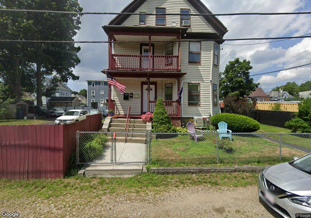
11 Packard Way Brockton, MA 02301
Clifton Heights NeighborhoodEstimated Value: $783,000 - $853,000
6
Beds
3
Baths
2,986
Sq Ft
$272/Sq Ft
Est. Value
About This Home
This home is located at 11 Packard Way, Brockton, MA 02301 and is currently estimated at $812,333, approximately $272 per square foot. 11 Packard Way is a home located in Plymouth County with nearby schools including Gilmore Elementary School, John F. Kennedy Elementary School, and Davis K-8 School.
Ownership History
Date
Name
Owned For
Owner Type
Purchase Details
Closed on
Jul 11, 1997
Sold by
Department Of Housing & Urban Dev
Bought by
Delagado Laura and Fortes Jose D
Current Estimated Value
Home Financials for this Owner
Home Financials are based on the most recent Mortgage that was taken out on this home.
Original Mortgage
$78,650
Interest Rate
7.86%
Mortgage Type
Purchase Money Mortgage
Purchase Details
Closed on
Dec 18, 1996
Sold by
Breer David W and Breer Maria
Bought by
First Natl Bk Chicago
Create a Home Valuation Report for This Property
The Home Valuation Report is an in-depth analysis detailing your home's value as well as a comparison with similar homes in the area
Home Values in the Area
Average Home Value in this Area
Purchase History
| Date | Buyer | Sale Price | Title Company |
|---|---|---|---|
| Delagado Laura | $65,001 | -- | |
| First Natl Bk Chicago | $81,867 | -- |
Source: Public Records
Mortgage History
| Date | Status | Borrower | Loan Amount |
|---|---|---|---|
| Open | First Natl Bk Chicago | $85,000 | |
| Closed | First Natl Bk Chicago | $78,650 | |
| Previous Owner | First Natl Bk Chicago | $54,443 |
Source: Public Records
Tax History
| Year | Tax Paid | Tax Assessment Tax Assessment Total Assessment is a certain percentage of the fair market value that is determined by local assessors to be the total taxable value of land and additions on the property. | Land | Improvement |
|---|---|---|---|---|
| 2025 | $8,203 | $677,400 | $140,500 | $536,900 |
| 2024 | $8,010 | $666,400 | $140,500 | $525,900 |
| 2023 | $7,596 | $585,200 | $106,300 | $478,900 |
| 2022 | $7,266 | $520,100 | $96,700 | $423,400 |
| 2021 | $6,698 | $461,900 | $80,700 | $381,200 |
| 2020 | $6,178 | $407,800 | $75,200 | $332,600 |
| 2019 | $5,910 | $380,300 | $73,200 | $307,100 |
| 2018 | $5,624 | $350,200 | $73,200 | $277,000 |
| 2017 | $4,812 | $298,900 | $73,200 | $225,700 |
| 2016 | $4,639 | $267,200 | $71,100 | $196,100 |
| 2015 | $3,953 | $217,800 | $71,100 | $146,700 |
| 2014 | $3,920 | $216,200 | $71,100 | $145,100 |
Source: Public Records
Map
Nearby Homes
- 13 Packard Way
- 707 Warren Ave
- 68 Florence St
- 74 Florence St
- 721 Warren Ave
- 691 Warren Ave
- 78 Florence St
- 18 Packard Way
- 15 Packard Way
- 685 Warren Ave
- 24 Packard Way
- 82 Florence St
- 82 Florence St Unit 2
- 737 Warren Ave
- 27 Packard Way
- 88 Florence St
- 63 Florence St
- 692 Warren Ave
- 692 Warren Ave Unit 1
- 692 Warren Ave Unit 3
Your Personal Tour Guide
Ask me questions while you tour the home.