11 Peaceful Ln Wolfeboro, NH 03894
Estimated Value: $357,136 - $481,000
2
Beds
1
Bath
616
Sq Ft
$687/Sq Ft
Est. Value
About This Home
This home is located at 11 Peaceful Ln, Wolfeboro, NH 03894 and is currently estimated at $423,034, approximately $686 per square foot. 11 Peaceful Ln is a home located in Carroll County with nearby schools including Crescent Lake School, Carpenter Elementary School, and Kingswood Regional Middle School.
Ownership History
Date
Name
Owned For
Owner Type
Purchase Details
Closed on
Jun 22, 2010
Sold by
Bridle Path Rt
Bought by
Nachtigall Brian and Nachtigall Susan
Current Estimated Value
Home Financials for this Owner
Home Financials are based on the most recent Mortgage that was taken out on this home.
Original Mortgage
$108,000
Outstanding Balance
$72,595
Interest Rate
5.03%
Mortgage Type
Purchase Money Mortgage
Estimated Equity
$350,439
Create a Home Valuation Report for This Property
The Home Valuation Report is an in-depth analysis detailing your home's value as well as a comparison with similar homes in the area
Home Values in the Area
Average Home Value in this Area
Purchase History
| Date | Buyer | Sale Price | Title Company |
|---|---|---|---|
| Nachtigall Brian | $135,000 | -- |
Source: Public Records
Mortgage History
| Date | Status | Borrower | Loan Amount |
|---|---|---|---|
| Open | Nachtigall Brian | $108,000 |
Source: Public Records
Tax History Compared to Growth
Tax History
| Year | Tax Paid | Tax Assessment Tax Assessment Total Assessment is a certain percentage of the fair market value that is determined by local assessors to be the total taxable value of land and additions on the property. | Land | Improvement |
|---|---|---|---|---|
| 2024 | $2,310 | $145,300 | $83,900 | $61,400 |
| 2023 | $2,134 | $145,300 | $83,900 | $61,400 |
| 2022 | $1,921 | $145,300 | $83,900 | $61,400 |
| 2021 | $1,986 | $145,300 | $83,900 | $61,400 |
| 2020 | $1,806 | $138,800 | $83,900 | $54,900 |
| 2019 | $1,804 | $113,900 | $78,600 | $35,300 |
| 2018 | $1,809 | $114,500 | $78,600 | $35,900 |
| 2017 | $1,715 | $114,500 | $78,600 | $35,900 |
| 2016 | $1,675 | $114,500 | $78,600 | $35,900 |
| 2015 | $1,597 | $114,500 | $78,600 | $35,900 |
| 2014 | $1,494 | $114,800 | $69,400 | $45,400 |
| 2013 | $1,473 | $114,800 | $69,400 | $45,400 |
Source: Public Records
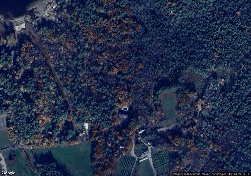
Map
Nearby Homes
- 6 Orchards Rd
- 73 Governors Shore Rd
- 0 Camp Rd Unit 5022980
- 408 Governor Wentworth Hwy Unit 44
- 624 S Main St
- 55 Pleasant Valley Rd
- 106 Middleton Rd
- 38 Pleasant Valley Rd
- 116 Middleton Rd
- 67 Middleton Rd
- 118 Bryant Rd
- 7 Edgewood Terrace
- 7 Shady Ln
- 139 Governor Wentworth Hwy
- 81 Timberlane P
- 87 Timberlane P
- 108 Whitten Neck Rd
- 45 Winnipesaukee Dr
- 92 Canopache Rd
- 510 Wentworth Rd
- 3 Peaceful Ln
- 538 Pleasant Valley Rd
- 526 Pleasant Valley Rd
- 57 Point O Pines Rd
- 524 Pleasant Valley Rd
- 59 Point O Pines Rd
- 564 Pleasant Valley Rd
- 60 Point O Pines Rd
- 557 Pleasant Valley Rd
- 65 Point O Pines Rd
- 71 Point O Pines Rd
- 563 Pleasant Valley Rd
- 66 Point O Pines Rd
- 580 Pleasant Valley Rd
- 44 Point Breeze Rd
- 12 Point Breeze Rd
- 10 Point Breeze Rd
- 14 Point Breeze Rd
- 581 Pleasant Valley Rd
- 8 Point Breeze Rd