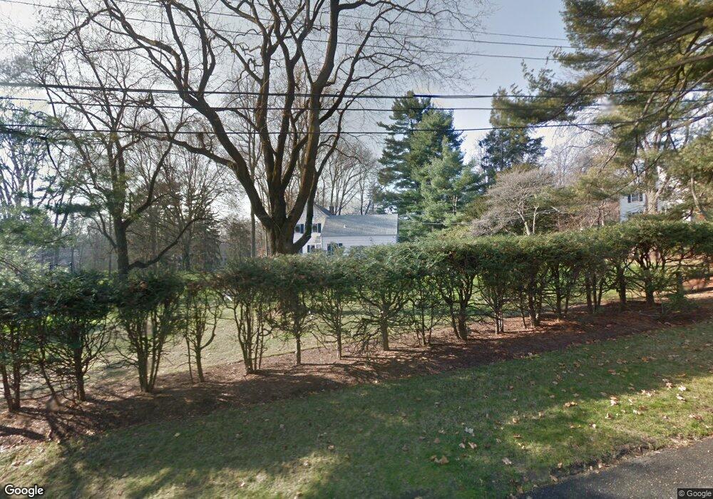
11 Point o Woods Rd Darien, CT 06820
Estimated Value: $2,703,000 - $3,231,957
4
Beds
5
Baths
2,868
Sq Ft
$1,053/Sq Ft
Est. Value
About This Home
This home is located at 11 Point o Woods Rd, Darien, CT 06820 and is currently estimated at $3,018,739, approximately $1,052 per square foot. 11 Point o Woods Rd is a home located in Fairfield County with nearby schools including Ox Ridge Elementary School, Middlesex Middle School, and Darien High School.
Ownership History
Date
Name
Owned For
Owner Type
Purchase Details
Closed on
Dec 10, 2015
Sold by
Matthews Douglas L and Matthews Nancy O
Bought by
Parr Patrick J and Parr Sharon A
Current Estimated Value
Home Financials for this Owner
Home Financials are based on the most recent Mortgage that was taken out on this home.
Original Mortgage
$600,000
Outstanding Balance
$479,176
Interest Rate
3.77%
Estimated Equity
$2,539,563
Purchase Details
Closed on
Jul 29, 1996
Sold by
Wetmore Marta G Est
Bought by
Armstrong Arthur G and Armstrong Kathleen A
Create a Home Valuation Report for This Property
The Home Valuation Report is an in-depth analysis detailing your home's value as well as a comparison with similar homes in the area
Home Values in the Area
Average Home Value in this Area
Purchase History
| Date | Buyer | Sale Price | Title Company |
|---|---|---|---|
| Parr Patrick J | $1,681,000 | -- | |
| Armstrong Arthur G | $700,000 | -- |
Source: Public Records
Mortgage History
| Date | Status | Borrower | Loan Amount |
|---|---|---|---|
| Open | Armstrong Arthur G | $600,000 | |
| Previous Owner | Armstrong Arthur G | $100,000 | |
| Previous Owner | Armstrong Arthur G | $550,000 |
Source: Public Records
Tax History Compared to Growth
Tax History
| Year | Tax Paid | Tax Assessment Tax Assessment Total Assessment is a certain percentage of the fair market value that is determined by local assessors to be the total taxable value of land and additions on the property. | Land | Improvement |
|---|---|---|---|---|
| 2025 | $24,067 | $1,554,700 | $897,890 | $656,810 |
| 2024 | $22,839 | $1,554,700 | $897,890 | $656,810 |
| 2023 | $19,522 | $1,108,590 | $641,340 | $467,250 |
| 2022 | $19,101 | $1,108,590 | $641,340 | $467,250 |
| 2021 | $18,428 | $1,094,310 | $641,340 | $452,970 |
| 2020 | $17,870 | $1,094,310 | $641,340 | $452,970 |
| 2019 | $18,023 | $1,094,310 | $641,340 | $452,970 |
| 2018 | $17,743 | $1,103,410 | $621,390 | $482,020 |
| 2017 | $15,131 | $936,320 | $621,390 | $314,930 |
| 2016 | $14,766 | $936,320 | $621,390 | $314,930 |
| 2015 | $14,373 | $936,320 | $621,390 | $314,930 |
| 2014 | $14,054 | $936,320 | $621,390 | $314,930 |
Source: Public Records
Map
Nearby Homes
- 97 Richards Ave Unit B10
- 97 Richards Ave Unit E12
- 105 Richards Ave Unit 2305
- 5 Wakeman Rd
- 10 Prospect Ave
- 10 Pine Brook Ln
- 17 Pine Brook Ln Unit 17
- 7 Morehouse Ln
- 93 Mansfield Ave
- 175 W Norwalk Rd
- 8 Sedgewick Village Ln
- 7 Tommys Ln
- 29 Priscilla Rd
- 20 Marianne Rd
- 19 Littlebrook Rd
- 13 Joemar Rd
- 6 Priscilla Ln
- 6 Orlando Rd
- 19 Woodchuck Ct
- 9 Hollow Spring Rd
- 5 Watch Tower Rd
- 8 Point o Woods Rd
- 17 Point o Woods Rd
- 9 Point o Woods Rd
- 6 Watch Tower Rd
- 4 Point o Woods Rd
- 9 Watch Tower Rd
- 7 Point o Woods Rd
- 20 Point o Woods Rd
- 10 Watch Tower Rd
- 5 Point o Woods Rd S
- 25 Point o Woods Rd
- 6 Point o Woods Rd S
- 40 Birch Rd
- 17 Maywood Rd
- 36 Birch Rd
- 34 Birch Rd
- 24 Point o Woods Rd
- 7 Point o Woods Rd S
- 32 Birch Rd