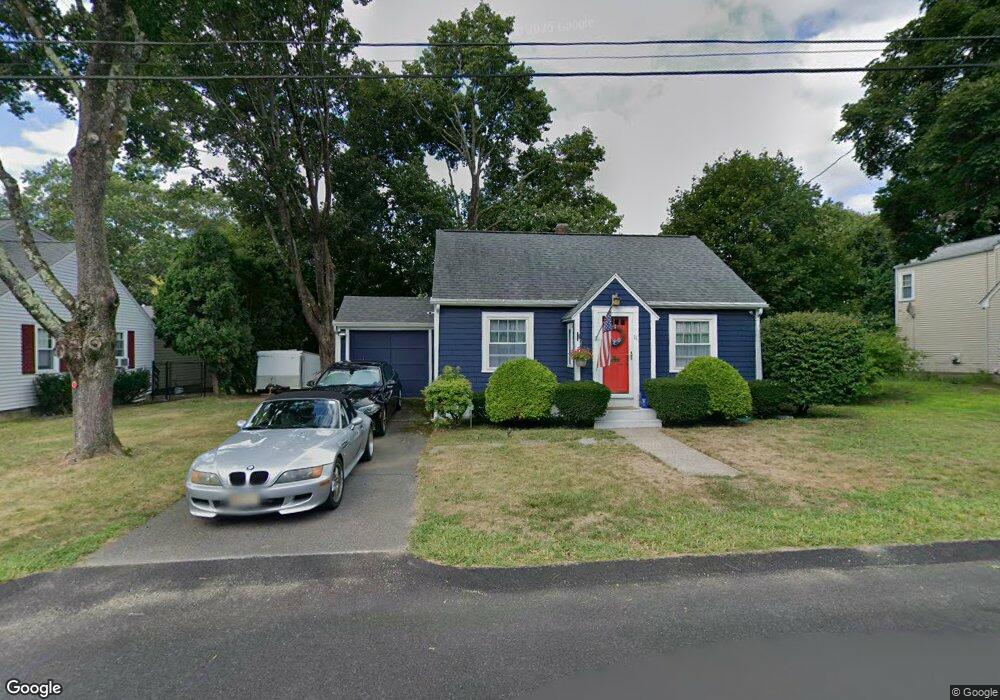
11 Potter Ave Plainville, MA 02762
Estimated Value: $371,000 - $515,000
2
Beds
1
Bath
696
Sq Ft
$651/Sq Ft
Est. Value
About This Home
This home is located at 11 Potter Ave, Plainville, MA 02762 and is currently estimated at $453,400, approximately $651 per square foot. 11 Potter Ave is a home located in Norfolk County with nearby schools including Anna Ware Jackson School, Beatrice H. Wood Elementary School, and Cadence Academy Preschool - North Attleborough.
Ownership History
Date
Name
Owned For
Owner Type
Purchase Details
Closed on
Dec 20, 1996
Sold by
Boyd William D and Boyd Brenda M
Bought by
Mcgrath Pauline A
Current Estimated Value
Home Financials for this Owner
Home Financials are based on the most recent Mortgage that was taken out on this home.
Original Mortgage
$118,149
Interest Rate
7.62%
Mortgage Type
Purchase Money Mortgage
Create a Home Valuation Report for This Property
The Home Valuation Report is an in-depth analysis detailing your home's value as well as a comparison with similar homes in the area
Home Values in the Area
Average Home Value in this Area
Purchase History
| Date | Buyer | Sale Price | Title Company |
|---|---|---|---|
| Mcgrath Pauline A | $118,500 | -- | |
| Mcgrath Pauline A | $118,500 | -- |
Source: Public Records
Mortgage History
| Date | Status | Borrower | Loan Amount |
|---|---|---|---|
| Open | Mcgrath Pauline A | $168,400 | |
| Closed | Mcgrath Pauline A | $118,149 |
Source: Public Records
Tax History Compared to Growth
Tax History
| Year | Tax Paid | Tax Assessment Tax Assessment Total Assessment is a certain percentage of the fair market value that is determined by local assessors to be the total taxable value of land and additions on the property. | Land | Improvement |
|---|---|---|---|---|
| 2025 | $43 | $368,100 | $235,600 | $132,500 |
| 2024 | $4,021 | $335,100 | $215,900 | $119,200 |
| 2023 | $3,949 | $316,400 | $215,900 | $100,500 |
| 2022 | $3,771 | $268,800 | $204,600 | $64,200 |
| 2021 | $3,644 | $247,900 | $186,800 | $61,100 |
| 2020 | $3,571 | $242,900 | $186,800 | $56,100 |
| 2019 | $3,504 | $234,100 | $177,900 | $56,200 |
| 2018 | $3,172 | $210,600 | $169,400 | $41,200 |
| 2017 | $3,248 | $216,500 | $169,400 | $47,100 |
| 2016 | $3,237 | $218,300 | $169,400 | $48,900 |
| 2015 | $3,033 | $196,700 | $145,600 | $51,100 |
| 2014 | $2,956 | $197,600 | $145,600 | $52,000 |
Source: Public Records
Map
Nearby Homes
- 22 Potter Ave Unit 5
- 6 Hilltop Rd Unit 122
- 2 Woodridge St Unit 2
- 45 Moran St
- 52 George St Unit B
- 35-R Whiting St
- 44 Maple Terrace Unit 44
- 230 South St
- 1066 Mount Hope St
- 166 E Bacon St Unit 4
- 2 George St Unit C
- 64 Smith St
- 10 Cliff Dr
- 28 Messenger St
- 8 Al Pace Dr Unit 8
- 3 Serengeti Dr
- 20 South St
- 3 Field Dr
- 33 Dublin Way
- 212 Fisher St Unit A5
- 9 Potter Ave
- 10 Potter Ave
- 15 Potter Ave
- 7 Potter Ave
- 8 Potter Ave
- 12 Potter Ave
- 6 Mathewson St
- 6 Mathewson St Unit A
- 8 Mathewson St
- 8 Mathewson St Unit B
- 8 Mathewson St Unit 8
- 4 Mathewson St
- 6 Potter Ave
- 2 Mathewson St
- 7 Hillcrest Dr
- 9 Hillcrest Dr
- 5 Hillcrest Dr
- 3 Potter Ave
- 17 Potter Ave Unit 6
- 17 Potter Ave Unit 5