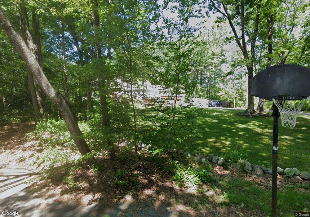
11 Preston Dr Sandown, NH 03873
Estimated Value: $680,000 - $777,000
4
Beds
3
Baths
3,000
Sq Ft
$238/Sq Ft
Est. Value
About This Home
This home is located at 11 Preston Dr, Sandown, NH 03873 and is currently estimated at $714,494, approximately $238 per square foot. 11 Preston Dr is a home located in Rockingham County with nearby schools including Sandown North Elementary School, Timberlane Regional Middle School, and Timberlane Regional High School.
Ownership History
Date
Name
Owned For
Owner Type
Purchase Details
Closed on
Jul 30, 1997
Sold by
Wentworth Frank E and Wentworth Nancy L
Bought by
Scali Richard D and Scali Tammy M
Current Estimated Value
Home Financials for this Owner
Home Financials are based on the most recent Mortgage that was taken out on this home.
Original Mortgage
$79,900
Interest Rate
7.55%
Create a Home Valuation Report for This Property
The Home Valuation Report is an in-depth analysis detailing your home's value as well as a comparison with similar homes in the area
Home Values in the Area
Average Home Value in this Area
Purchase History
| Date | Buyer | Sale Price | Title Company |
|---|---|---|---|
| Scali Richard D | $169,900 | -- |
Source: Public Records
Mortgage History
| Date | Status | Borrower | Loan Amount |
|---|---|---|---|
| Open | Scali Richard D | $31,450 | |
| Open | Scali Richard D | $88,000 | |
| Closed | Scali Richard D | $25,000 | |
| Closed | Scali Richard D | $79,900 |
Source: Public Records
Tax History Compared to Growth
Tax History
| Year | Tax Paid | Tax Assessment Tax Assessment Total Assessment is a certain percentage of the fair market value that is determined by local assessors to be the total taxable value of land and additions on the property. | Land | Improvement |
|---|---|---|---|---|
| 2024 | $9,539 | $538,300 | $154,500 | $383,800 |
| 2023 | $11,250 | $538,300 | $154,500 | $383,800 |
| 2022 | $9,268 | $326,700 | $103,100 | $223,600 |
| 2021 | $9,468 | $326,700 | $103,100 | $223,600 |
| 2020 | $9,037 | $326,700 | $103,100 | $223,600 |
| 2019 | $8,808 | $326,700 | $103,100 | $223,600 |
| 2018 | $8,671 | $326,700 | $103,100 | $223,600 |
| 2017 | $8,381 | $272,300 | $82,400 | $189,900 |
| 2016 | $7,940 | $272,300 | $82,400 | $189,900 |
| 2015 | $7,254 | $272,300 | $82,400 | $189,900 |
| 2014 | $7,513 | $272,300 | $82,400 | $189,900 |
| 2013 | $7,366 | $272,000 | $82,400 | $189,600 |
Source: Public Records
Map
Nearby Homes
- 156 Little Mill Rd Unit A
- 8 Ians Path
- 5 Grandview Terrace
- 185 Buttrick Rd
- 31 N Shore Rd
- 9 Trues Pkwy
- 7 Trues Pkwy
- 13 Autumn Ln
- 39 Kibrel Ct
- 15 Brightstone Way Unit 14
- 21 Brightstone Way Unit 17
- 33 Pillsbury Rd
- 26 Main St
- 32 Ells Rd
- 50 Page Ln
- 55 Judith St
- 1 Cameron Ct Unit 1
- 143 Colby Rd
- 31 Beatrice St
- 3 Cameron Ct Unit 3
- 7 Preston Dr
- 15 Preston Dr
- 3 Preston Dr
- 12 Preston Dr
- 1 Preston Dr
- 8 Preston Dr
- 4 Preston Dr
- 2 Preston Dr
- 56 Little Mill Rd
- 29 Showell Pond Rd
- 76 Little Mill Rd
- 54 Little Mill Rd
- 63 Little Mill Rd
- 59 Little Mill Rd
- 52 Little Mill Rd
- 80 Little Mill Rd
- 17 Showell Pond Rd
- 55 Little Mill Rd
- 51 Little Mill Rd
- 5 Showell Pond Cir