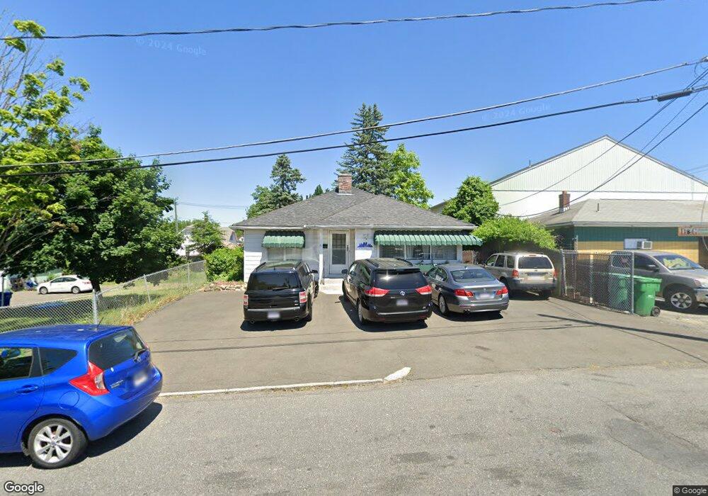
11 Preston St Springfield, MA 01109
Pine Point NeighborhoodEstimated Value: $334,322
2
Beds
2
Baths
1,199
Sq Ft
$279/Sq Ft
Est. Value
About This Home
This home is located at 11 Preston St, Springfield, MA 01109 and is currently estimated at $334,322, approximately $278 per square foot. 11 Preston St is a home located in Hampden County with nearby schools including Homer Street Elementary School, John F. Kennedy Academy, and Roger L. Putnam Vocational Technical Academy.
Ownership History
Date
Name
Owned For
Owner Type
Purchase Details
Closed on
Sep 28, 1987
Sold by
Lycette Elberta C
Bought by
Morrow Tommie L
Current Estimated Value
Home Financials for this Owner
Home Financials are based on the most recent Mortgage that was taken out on this home.
Original Mortgage
$59,500
Interest Rate
10.37%
Mortgage Type
Commercial
Create a Home Valuation Report for This Property
The Home Valuation Report is an in-depth analysis detailing your home's value as well as a comparison with similar homes in the area
Home Values in the Area
Average Home Value in this Area
Purchase History
| Date | Buyer | Sale Price | Title Company |
|---|---|---|---|
| Morrow Tommie L | $70,000 | -- |
Source: Public Records
Mortgage History
| Date | Status | Borrower | Loan Amount |
|---|---|---|---|
| Closed | Morrow Tommie L | $10,000 | |
| Closed | Morrow Tommie L | $59,500 |
Source: Public Records
Tax History
| Year | Tax Paid | Tax Assessment Tax Assessment Total Assessment is a certain percentage of the fair market value that is determined by local assessors to be the total taxable value of land and additions on the property. | Land | Improvement |
|---|---|---|---|---|
| 2025 | -- | $184,600 | $39,000 | $145,600 |
| 2024 | -- | $161,800 | $32,500 | $129,300 |
| 2023 | $0 | $146,300 | $29,500 | $116,800 |
| 2022 | $2,393 | $114,600 | $27,600 | $87,000 |
| 2021 | $0 | $108,000 | $25,100 | $82,900 |
| 2020 | $2,393 | $97,600 | $25,100 | $72,500 |
| 2019 | $0 | $98,900 | $25,100 | $73,800 |
| 2018 | $0 | $94,700 | $25,100 | $69,600 |
| 2017 | $0 | $87,100 | $23,200 | $63,900 |
| 2016 | -- | $87,100 | $23,200 | $63,900 |
| 2015 | -- | $87,100 | $23,200 | $63,900 |
Source: Public Records
Map
Nearby Homes
- 23 Preston St
- 14 Jasper St
- 16 Jasper St
- 51 Old Point St
- 27 Preston St
- 24 Jasper St
- 45 Old Point St
- 28 Jasper St
- 33 Preston St
- 0 W S Preston St Unit 72999460
- 28 Preston St
- 135-41 Boston Rd Rt 20
- 0 Jasper (Ws) Unit 73114386
- 41 Old Point St
- 155 Boston Rd
- 153 Boston Rd
- 37 Preston St
- 15 Jasper St
- 34 Preston St
- 19 Jasper St
Your Personal Tour Guide
Ask me questions while you tour the home.