11 Quail Run Andover, MA 01810
Far West Andover NeighborhoodEstimated Value: $935,321 - $1,067,000
5
Beds
2
Baths
2,400
Sq Ft
$411/Sq Ft
Est. Value
About This Home
This home is located at 11 Quail Run, Andover, MA 01810 and is currently estimated at $987,330, approximately $411 per square foot. 11 Quail Run is a home located in Essex County with nearby schools including High Plain Elementary School, Wood Hill Middle School, and Andover High School.
Ownership History
Date
Name
Owned For
Owner Type
Purchase Details
Closed on
Mar 22, 2002
Sold by
London Jack N and London Donita C
Bought by
Ivanovich Vladimir and Ivanovich Svetlana
Current Estimated Value
Purchase Details
Closed on
May 2, 1994
Sold by
Clark Bruce M
Bought by
London Jack N
Purchase Details
Closed on
May 22, 1992
Sold by
Henderson Colvin
Bought by
Clark Bruce M
Create a Home Valuation Report for This Property
The Home Valuation Report is an in-depth analysis detailing your home's value as well as a comparison with similar homes in the area
Home Values in the Area
Average Home Value in this Area
Purchase History
| Date | Buyer | Sale Price | Title Company |
|---|---|---|---|
| Ivanovich Vladimir | $375,500 | -- | |
| London Jack N | $223,000 | -- | |
| London Jack N | $223,000 | -- | |
| Clark Bruce M | $199,000 | -- | |
| Clark Bruce M | $199,000 | -- |
Source: Public Records
Mortgage History
| Date | Status | Borrower | Loan Amount |
|---|---|---|---|
| Open | Clark Bruce M | $263,000 | |
| Closed | Clark Bruce M | $270,000 |
Source: Public Records
Tax History
| Year | Tax Paid | Tax Assessment Tax Assessment Total Assessment is a certain percentage of the fair market value that is determined by local assessors to be the total taxable value of land and additions on the property. | Land | Improvement |
|---|---|---|---|---|
| 2024 | $10,828 | $840,700 | $447,200 | $393,500 |
| 2023 | $10,125 | $741,200 | $382,400 | $358,800 |
| 2022 | $9,715 | $665,400 | $344,700 | $320,700 |
| 2021 | $9,313 | $609,100 | $313,500 | $295,600 |
| 2020 | $9,077 | $604,700 | $313,500 | $291,200 |
| 2019 | $9,173 | $600,700 | $313,500 | $287,200 |
| 2018 | $8,904 | $569,300 | $304,400 | $264,900 |
| 2017 | $8,543 | $562,800 | $298,300 | $264,500 |
| 2016 | $8,370 | $564,800 | $298,300 | $266,500 |
| 2015 | $8,242 | $550,600 | $298,300 | $252,300 |
Source: Public Records
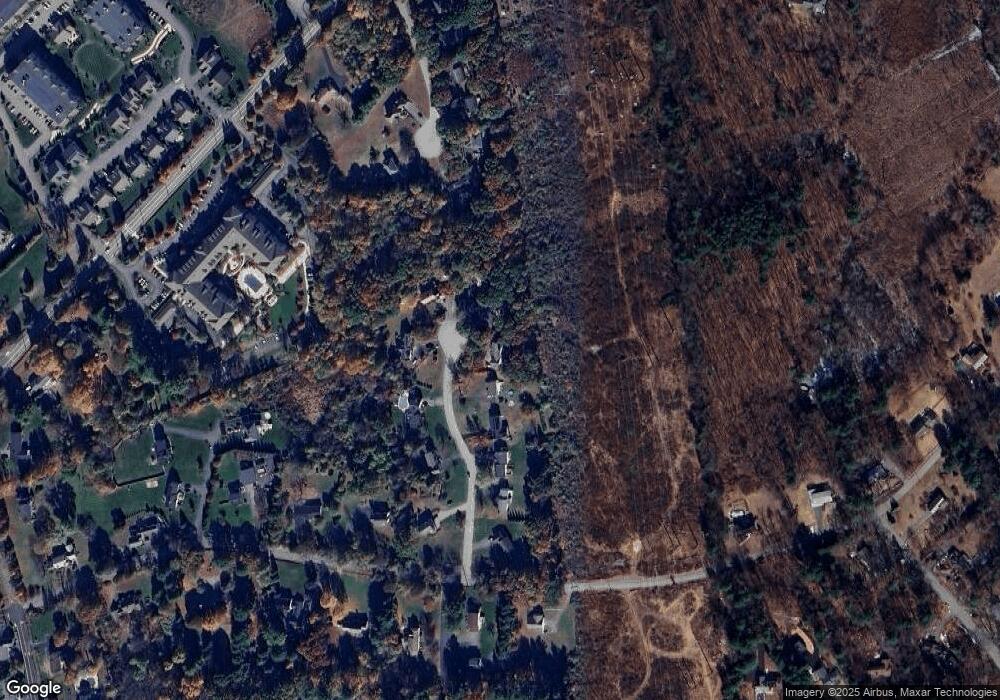
Map
Nearby Homes
- 6 Overlook Dr Unit 403
- 2 Francis Dr Unit 405
- 4 Francis Dr Unit 312
- 4 Francis Dr Unit 207
- 2 Francis Dr Unit 301
- 8 Ashford Ln
- 10 Berkeley Ln
- 29 Stoneybrook Cir
- 20 Mount Joy Dr
- 1575 Andover St
- 31 Varnum Ave
- 18 Ravens Bluff
- 20 Hood Rd
- 21 Greybirch Rd
- 322 River Rd
- 30 Parker Rd
- 935 Methuen St Unit 13
- 2 Greybirch Rd
- 81 Merrimack Meadows Ln
- 31 Floyd Ave
Your Personal Tour Guide
Ask me questions while you tour the home.