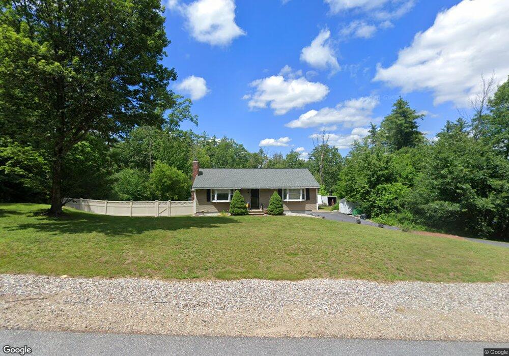
11 Roblin Rd Bedford, NH 03110
Bedford NeighborhoodEstimated Value: $504,740 - $570,000
2
Beds
2
Baths
1,176
Sq Ft
$447/Sq Ft
Est. Value
About This Home
This home is located at 11 Roblin Rd, Bedford, NH 03110 and is currently estimated at $525,935, approximately $447 per square foot. 11 Roblin Rd is a home located in Hillsborough County with nearby schools including Mckelvie Intermediate School, Ross A. Lurgio Middle School, and Bedford High School.
Ownership History
Date
Name
Owned For
Owner Type
Purchase Details
Closed on
Feb 6, 2017
Sold by
Tanguay Mark A and Tanguy Lisa A
Bought by
Tanguay Mark A and Tanguy Lisa A
Current Estimated Value
Home Financials for this Owner
Home Financials are based on the most recent Mortgage that was taken out on this home.
Original Mortgage
$176,300
Outstanding Balance
$146,376
Interest Rate
4.3%
Mortgage Type
New Conventional
Estimated Equity
$379,559
Purchase Details
Closed on
Aug 20, 1999
Sold by
Claire M Conway Tr
Bought by
Tanguay Mark A
Home Financials for this Owner
Home Financials are based on the most recent Mortgage that was taken out on this home.
Original Mortgage
$114,750
Interest Rate
7.6%
Create a Home Valuation Report for This Property
The Home Valuation Report is an in-depth analysis detailing your home's value as well as a comparison with similar homes in the area
Home Values in the Area
Average Home Value in this Area
Purchase History
| Date | Buyer | Sale Price | Title Company |
|---|---|---|---|
| Tanguay Mark A | -- | -- | |
| Tanguay Mark A | $135,000 | -- |
Source: Public Records
Mortgage History
| Date | Status | Borrower | Loan Amount |
|---|---|---|---|
| Open | Tanguay Mark A | $176,300 | |
| Previous Owner | Tanguay Mark A | $175,999 | |
| Previous Owner | Tanguay Mark A | $165,600 | |
| Previous Owner | Tanguay Mark A | $114,750 |
Source: Public Records
Tax History Compared to Growth
Tax History
| Year | Tax Paid | Tax Assessment Tax Assessment Total Assessment is a certain percentage of the fair market value that is determined by local assessors to be the total taxable value of land and additions on the property. | Land | Improvement |
|---|---|---|---|---|
| 2024 | $6,572 | $415,700 | $247,000 | $168,700 |
| 2023 | $6,152 | $415,700 | $247,000 | $168,700 |
| 2022 | $5,951 | $338,100 | $183,000 | $155,100 |
| 2021 | $5,795 | $338,100 | $183,000 | $155,100 |
| 2020 | $5,383 | $268,900 | $133,600 | $135,300 |
| 2019 | $5,096 | $268,900 | $133,600 | $135,300 |
| 2018 | $5,076 | $248,800 | $133,600 | $115,200 |
| 2017 | $4,705 | $248,800 | $133,600 | $115,200 |
| 2016 | $4,461 | $199,400 | $106,600 | $92,800 |
| 2015 | $4,538 | $199,400 | $106,600 | $92,800 |
| 2014 | $4,487 | $199,400 | $106,600 | $92,800 |
| 2013 | $4,392 | $198,100 | $106,600 | $91,500 |
Source: Public Records
Map
Nearby Homes
- Lot 6 Aisling Ln Unit Lot 6 - The Silverto
- 40 Tirrell Hill Rd
- 15 Grand Ave Unit Lot 3
- 18 Grand Ave Unit Lot 7
- 17 Grand Ave
- 38 Old Farm Rd
- 434 Donald St
- 2 Merry St
- 155 New Boston Rd
- 10 Glenwood Ave
- 44-9 Olympus Way
- 58 Violet St
- 39 Pilgrim Dr
- 30 Tanglewood Ct
- 21 Prairie Ct
- 15 Patterson St
- 55 Salem St
- 60 Riddle Dr
- 24 Fairbanks St
- 32 Puritan Dr