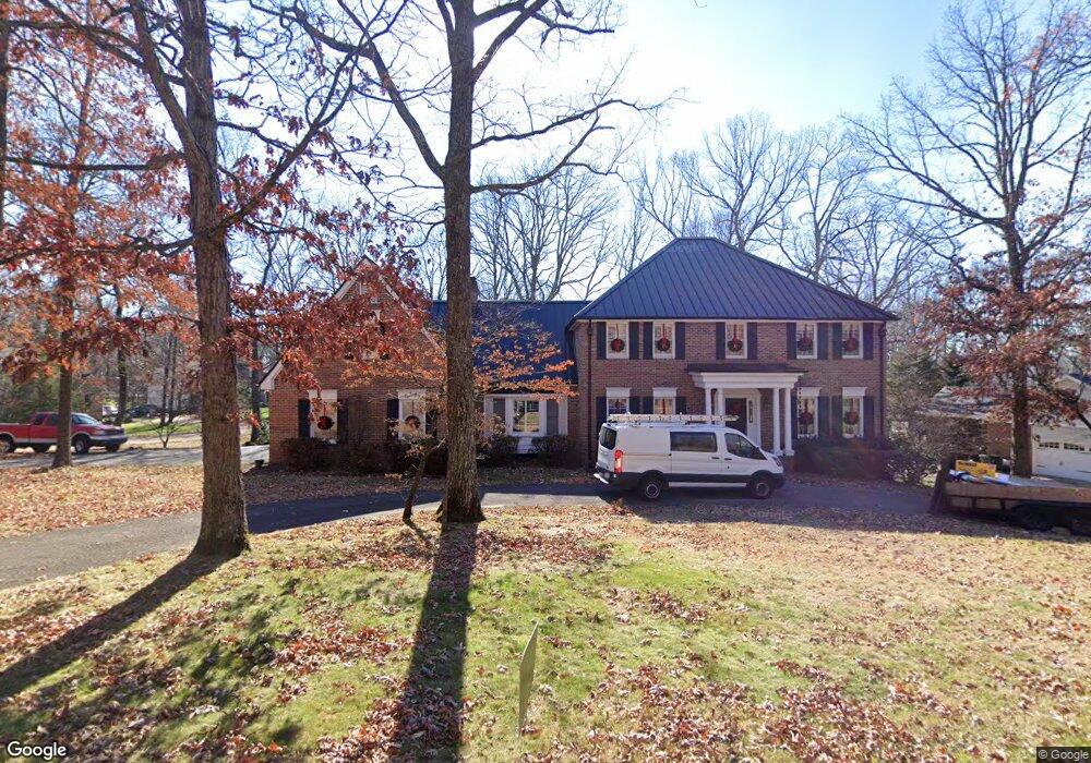
11 Rock Crest Dr Signal Mountain, TN 37377
Estimated Value: $945,819 - $1,078,000
--
Bed
1
Bath
5,591
Sq Ft
$182/Sq Ft
Est. Value
About This Home
This home is located at 11 Rock Crest Dr, Signal Mountain, TN 37377 and is currently estimated at $1,016,705, approximately $181 per square foot. 11 Rock Crest Dr is a home located in Hamilton County with nearby schools including Thrasher Elementary School and Signal Mountain Middle/High School.
Ownership History
Date
Name
Owned For
Owner Type
Purchase Details
Closed on
Aug 11, 2006
Sold by
Armstrong Patricia C
Bought by
Hayslett Thomas and Hayslett Amanda N
Current Estimated Value
Home Financials for this Owner
Home Financials are based on the most recent Mortgage that was taken out on this home.
Original Mortgage
$352,000
Outstanding Balance
$211,106
Interest Rate
6.74%
Mortgage Type
Unknown
Estimated Equity
$805,599
Create a Home Valuation Report for This Property
The Home Valuation Report is an in-depth analysis detailing your home's value as well as a comparison with similar homes in the area
Home Values in the Area
Average Home Value in this Area
Purchase History
| Date | Buyer | Sale Price | Title Company |
|---|---|---|---|
| Hayslett Thomas | $440,000 | None Available |
Source: Public Records
Mortgage History
| Date | Status | Borrower | Loan Amount |
|---|---|---|---|
| Open | Hayslett Thomas | $352,000 |
Source: Public Records
Tax History Compared to Growth
Tax History
| Year | Tax Paid | Tax Assessment Tax Assessment Total Assessment is a certain percentage of the fair market value that is determined by local assessors to be the total taxable value of land and additions on the property. | Land | Improvement |
|---|---|---|---|---|
| 2024 | $3,874 | $173,150 | $0 | $0 |
| 2023 | $3,478 | $155,450 | $0 | $0 |
| 2022 | $3,478 | $155,450 | $0 | $0 |
| 2021 | $3,342 | $149,375 | $0 | $0 |
| 2020 | $3,779 | $136,675 | $0 | $0 |
| 2019 | $3,779 | $136,675 | $0 | $0 |
| 2018 | $3,779 | $136,675 | $0 | $0 |
| 2017 | $3,779 | $136,675 | $0 | $0 |
| 2016 | $3,227 | $0 | $0 | $0 |
| 2015 | $3,227 | $116,700 | $0 | $0 |
| 2014 | $3,227 | $0 | $0 | $0 |
Source: Public Records
Map
Nearby Homes
- 15 Grayswood Hill Rd
- 14 Carriage Hill
- 1425 Palisades Rd
- 206 Palisades Dr
- 220 Palisades Dr
- 103 Arrow Dr
- 1059 Balmoral Dr
- 409 Mississippi Ave
- 1108 Sunset Dr
- 608 Texas Ave
- 105 Mountain Court Dr
- 779 James Blvd
- 0 Cash Canyon Rd Unit 1510156
- 0 Cash Canyon Rd Unit 1509275
- 115 Golf Dr
- 212 N Palisades Dr
- 921 Ridgeway Ave
- 1425 Sunset Dr
- 1419 Sunset Dr
- 907 Kentucky Ave
- 0 Rock Crest Ln Unit 1017009
- 4 Rock Crest Ln
- 1 Stone Point Ln
- 1 Stone Point Ln Unit 2
- 1 Rock Crest Ln
- 3 Rock Crest Ln
- 8 Rock Crest Dr
- 5 Rock Crest Ln
- 3 Stone Point Ln
- 2 Stone Point Ln
- 6 Rock Crest Dr
- 6 Rock Crest Dr Unit 2
- 7 Rock Crest Dr
- 7 Rock Crest Dr Unit 2
- 60 Carriage Hill
- 58 Carriage Hill
- 58 Carriage Hill Unit Lot 36
- 4 Stone Point Ln
- 4 Stone Point Ln Unit 2
- 12 Rock Crest Dr