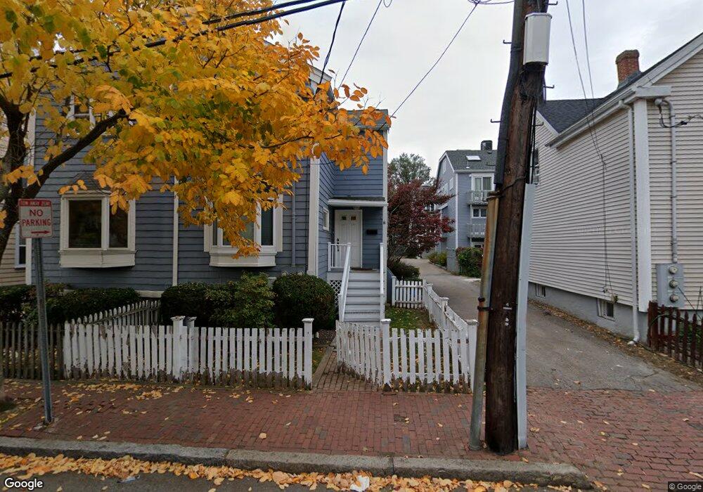
11 Rollins Ct Cambridge, MA 02139
Cambridgeport NeighborhoodEstimated Value: $1,493,000 - $1,784,000
3
Beds
4
Baths
1,644
Sq Ft
$960/Sq Ft
Est. Value
About This Home
This home is located at 11 Rollins Ct, Cambridge, MA 02139 and is currently estimated at $1,577,759, approximately $959 per square foot. 11 Rollins Ct is a home located in Middlesex County with nearby schools including Prospect Hill Academy Charter School.
Ownership History
Date
Name
Owned For
Owner Type
Purchase Details
Closed on
Dec 21, 1992
Sold by
Haley Peter J and Haley Marie F
Bought by
Davidson Amy L
Current Estimated Value
Purchase Details
Closed on
Jun 29, 1988
Sold by
Jhj Partnership
Bought by
Haley Peter J
Purchase Details
Closed on
Jan 13, 1988
Sold by
Rollins Ct Rt
Bought by
Chiten Howard C
Create a Home Valuation Report for This Property
The Home Valuation Report is an in-depth analysis detailing your home's value as well as a comparison with similar homes in the area
Home Values in the Area
Average Home Value in this Area
Purchase History
| Date | Buyer | Sale Price | Title Company |
|---|---|---|---|
| Davidson Amy L | $165,000 | -- | |
| Haley Peter J | $232,500 | -- | |
| Chiten Howard C | $230,000 | -- |
Source: Public Records
Mortgage History
| Date | Status | Borrower | Loan Amount |
|---|---|---|---|
| Open | Chiten Howard C | $307,775 | |
| Closed | Chiten Howard C | $50,000 |
Source: Public Records
Tax History
| Year | Tax Paid | Tax Assessment Tax Assessment Total Assessment is a certain percentage of the fair market value that is determined by local assessors to be the total taxable value of land and additions on the property. | Land | Improvement |
|---|---|---|---|---|
| 2025 | $8,379 | $1,319,600 | $0 | $1,319,600 |
| 2024 | $7,688 | $1,298,600 | $0 | $1,298,600 |
| 2023 | $7,118 | $1,214,700 | $0 | $1,214,700 |
| 2022 | $6,853 | $1,157,600 | $0 | $1,157,600 |
| 2021 | $6,505 | $1,111,900 | $0 | $1,111,900 |
| 2020 | $6,059 | $1,053,800 | $0 | $1,053,800 |
| 2019 | $5,828 | $981,100 | $0 | $981,100 |
| 2018 | $5,687 | $904,100 | $0 | $904,100 |
| 2017 | $5,559 | $856,600 | $0 | $856,600 |
| 2016 | $5,350 | $765,400 | $0 | $765,400 |
| 2015 | $5,734 | $733,200 | $0 | $733,200 |
| 2014 | $5,684 | $678,300 | $0 | $678,300 |
Source: Public Records
Map
Nearby Homes
- 104-106 Auburn St
- 127 Auburn St
- 129 Auburn St
- 6 Watson St Unit 1
- 62 Pearl St
- 172-174 Auburn St Unit 3
- 280 Green St
- 39 Cottage St
- 300 Franklin St Unit 5
- 300 Franklin St Unit 1
- 10 Corporal McTernan St Unit 406
- 174 Hamilton St
- 149A Bishop Allen Unit A
- 13 Howard St Unit 1
- 860 Massachusetts Ave Unit 852-3
- 260 Brookline St Unit 1
- 7 Marvin Place
- 872 Massachusetts Ave Unit 303
- 863 Massachusetts Ave Unit 25
- 65 Howard St Unit 1
- 9 Rollins Ct Unit 9
- 10 Rollins Ct
- 9 Rollins Ct
- 8 Rollins Ct
- 7 Rollins Ct
- 6 Rollins Ct
- 5 Rollins Ct
- 4 Rollins Ct
- 3 Rollins Ct
- 27 Lopez St
- 10 Rollins Ct Unit 10
- 6 Rollins Ct Unit 6
- 9 Rollins Ct Unit 1
- 27 Lopez St Unit 27
- 27 Lopez St Unit 2
- 29 Lopez St
- 12 Watson St Unit B
- 12 Watson St Unit A
- 12B Watson St
- 12 Watson St Unit 1
Your Personal Tour Guide
Ask me questions while you tour the home.