11 Round Pond Rd Freedom, NH 03836
Estimated Value: $556,000 - $673,000
2
Beds
2
Baths
1,596
Sq Ft
$386/Sq Ft
Est. Value
About This Home
This home is located at 11 Round Pond Rd, Freedom, NH 03836 and is currently estimated at $615,297, approximately $385 per square foot. 11 Round Pond Rd is a home with nearby schools including Freedom Elementary School.
Ownership History
Date
Name
Owned For
Owner Type
Purchase Details
Closed on
Oct 26, 2007
Sold by
Grant Alan M and Grant Beverly A
Bought by
Cipullo Edward L and Cipullo Hilary M
Current Estimated Value
Home Financials for this Owner
Home Financials are based on the most recent Mortgage that was taken out on this home.
Original Mortgage
$185,000
Outstanding Balance
$117,112
Interest Rate
6.39%
Mortgage Type
Purchase Money Mortgage
Estimated Equity
$498,185
Create a Home Valuation Report for This Property
The Home Valuation Report is an in-depth analysis detailing your home's value as well as a comparison with similar homes in the area
Home Values in the Area
Average Home Value in this Area
Purchase History
| Date | Buyer | Sale Price | Title Company |
|---|---|---|---|
| Cipullo Edward L | $335,000 | -- |
Source: Public Records
Mortgage History
| Date | Status | Borrower | Loan Amount |
|---|---|---|---|
| Open | Cipullo Edward L | $185,000 |
Source: Public Records
Tax History Compared to Growth
Tax History
| Year | Tax Paid | Tax Assessment Tax Assessment Total Assessment is a certain percentage of the fair market value that is determined by local assessors to be the total taxable value of land and additions on the property. | Land | Improvement |
|---|---|---|---|---|
| 2024 | $4,416 | $615,000 | $254,400 | $360,600 |
| 2023 | $4,384 | $399,300 | $171,900 | $227,400 |
| 2022 | $4,085 | $399,300 | $171,900 | $227,400 |
| 2021 | $4,332 | $399,300 | $171,900 | $227,400 |
| 2020 | $4,261 | $399,300 | $171,900 | $227,400 |
| 2019 | $4,319 | $318,500 | $157,700 | $160,800 |
| 2018 | $4,118 | $318,500 | $157,700 | $160,800 |
| 2016 | $4,013 | $318,500 | $157,700 | $160,800 |
| 2015 | $3,986 | $329,400 | $160,400 | $169,000 |
| 2014 | $4,019 | $329,400 | $160,400 | $169,000 |
| 2013 | $4,071 | $329,400 | $160,400 | $169,000 |
Source: Public Records
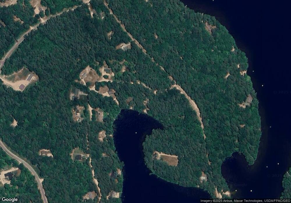
Map
Nearby Homes
- 118 Pound Round Rd
- 118 Round Pond Rd
- Lot 10 Friedman
- 78 School St
- 187 Huntress Bridge Rd
- Lot 3 Parsons Rd
- Lots 0-4 Parsons Rd
- Lot 2 Parsons Rd
- Lot 4 Parsons Rd
- Lot 1 Parsons Rd
- 185 Huntress Bridge Rd
- 118 Washington Rd Unit 55
- 1108 Ossipee Trail
- 50 Milford Ave
- 00 Pratt Rd
- 16 Channel Rd
- 126 Leavitt Rd
- Lot 8 Friedman Ln
- 5-11 Friedman Ln
- 5 Friedman Ln
- 23 Round Pond Rd
- 00 Round Pond Rd
- 37 Round Pond Rd
- 20 Round Pond Rd
- 47 Round Pond Rd
- 180 Loon Lake Rd
- 32 Round Pond Rd
- 53 Round Pond Rd
- 134 Loon Lake Rd
- 66 Round Pond Rd
- 38 Round Pond Rd
- 59 Round Pond Rd
- 40 Round Pond Rd
- 52 Round Pond Rd
- 124 Loon Lake Rd
- 69 Round Pond Rd
- 194 Loon Lake Rd
- 120 Loon Lake Rd
- 77 Round Pond Rd
- 27 Swasey Rd