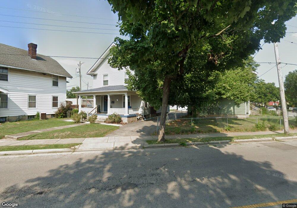
11 S Sutphin St Unit 2 Middletown, OH 45044
Highlands NeighborhoodEstimated Value: $93,000 - $178,247
3
Beds
2
Baths
2,092
Sq Ft
$68/Sq Ft
Est. Value
About This Home
This home is located at 11 S Sutphin St Unit 2, Middletown, OH 45044 and is currently estimated at $141,312, approximately $67 per square foot. 11 S Sutphin St Unit 2 is a home located in Butler County with nearby schools including Mayfield Elementary School, Highview 6th Grade Center, and Middletown Middle School.
Ownership History
Date
Name
Owned For
Owner Type
Purchase Details
Closed on
Aug 24, 2020
Sold by
Moon Pamela S
Bought by
Rupel Brain
Current Estimated Value
Purchase Details
Closed on
Jun 17, 2015
Sold by
Chalfin Charles Haynes and Chalfin Beverly
Bought by
Moon Pamela S
Home Financials for this Owner
Home Financials are based on the most recent Mortgage that was taken out on this home.
Original Mortgage
$54,034
Interest Rate
3.82%
Mortgage Type
FHA
Create a Home Valuation Report for This Property
The Home Valuation Report is an in-depth analysis detailing your home's value as well as a comparison with similar homes in the area
Home Values in the Area
Average Home Value in this Area
Purchase History
| Date | Buyer | Sale Price | Title Company |
|---|---|---|---|
| Rupel Brain | $70,000 | None Available | |
| Moon Pamela S | $55,900 | Attorney |
Source: Public Records
Mortgage History
| Date | Status | Borrower | Loan Amount |
|---|---|---|---|
| Previous Owner | Moon Pamela S | $54,034 |
Source: Public Records
Tax History Compared to Growth
Tax History
| Year | Tax Paid | Tax Assessment Tax Assessment Total Assessment is a certain percentage of the fair market value that is determined by local assessors to be the total taxable value of land and additions on the property. | Land | Improvement |
|---|---|---|---|---|
| 2024 | $2,035 | $38,400 | $4,330 | $34,070 |
| 2023 | $2,023 | $46,160 | $4,330 | $41,830 |
| 2022 | $1,388 | $23,280 | $4,330 | $18,950 |
| 2021 | $1,335 | $23,280 | $4,330 | $18,950 |
| 2020 | $1,355 | $23,280 | $4,330 | $18,950 |
| 2019 | $1,347 | $18,590 | $4,320 | $14,270 |
| 2018 | $1,173 | $18,590 | $4,320 | $14,270 |
| 2017 | $1,175 | $18,590 | $4,320 | $14,270 |
| 2016 | $1,165 | $17,660 | $4,320 | $13,340 |
| 2015 | $1,179 | $17,660 | $4,320 | $13,340 |
| 2014 | $1,604 | $7,760 | $4,320 | $3,440 |
| 2013 | $1,604 | $26,110 | $4,310 | $21,800 |
Source: Public Records
Map
Nearby Homes
- 2016 Linden Ave
- 2112 Central Ave
- 2007 Central Ave
- 2113 Central Ave
- 2115 Central Ave
- 2119 Central Ave
- 319 Moore St
- 2208 Superior Ave
- 113 N Sutphin St
- 1814.5 Logan Ave
- 408 Moore St
- 410 Moore St
- 19 Mckinley St
- 401 S Sutphin St
- 407 S Sutphin St
- 2124 Sherman Ave
- 206 N Sutphin St
- 211 Harrison St
- 1814 Logan Ave
- 102 Franklin St
- 11 S Sutphin St
- 2101 Linden Ave
- 9 S Sutphin St
- 101 S Sutphin St
- 2103 Linden Ave
- 2028 Central Ave
- 2024 Central Ave
- 16 S Sutphin St
- 2105 Linden Ave
- 2020 Central Ave
- 2100 Linden Ave
- 12 S Sutphin St
- 106 S Sutphin St
- 10 S Sutphin St
- 2107 Linden Ave
- 8 S Sutphin St
- 108 S Sutphin St
- 105 S Sutphin St
- 2015 Linden Ave
- 2018 Central Ave