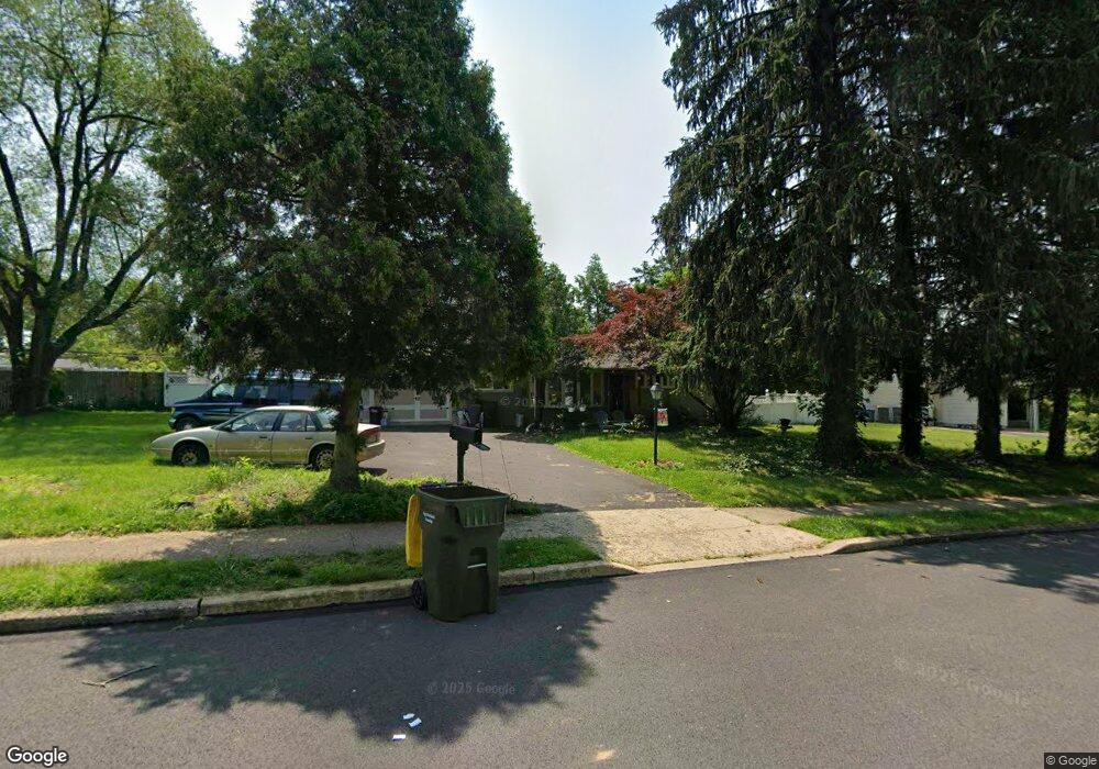
11 Saint Dunstans Rd Hatboro, PA 19040
Estimated Value: $413,000 - $445,000
3
Beds
1
Bath
1,296
Sq Ft
$327/Sq Ft
Est. Value
About This Home
This home is located at 11 Saint Dunstans Rd, Hatboro, PA 19040 and is currently estimated at $424,108, approximately $327 per square foot. 11 Saint Dunstans Rd is a home located in Montgomery County with nearby schools including Upper Moreland Intermediate School, Upper Moreland Primary School, and Upper Moreland Middle School.
Ownership History
Date
Name
Owned For
Owner Type
Purchase Details
Closed on
Oct 13, 2010
Sold by
Lavelle Beverly and Maclacklin John
Bought by
Zelle Stacy
Current Estimated Value
Home Financials for this Owner
Home Financials are based on the most recent Mortgage that was taken out on this home.
Original Mortgage
$196,000
Outstanding Balance
$129,602
Interest Rate
4.39%
Estimated Equity
$294,506
Purchase Details
Closed on
Apr 9, 2008
Sold by
Maclacklin John and Maclacklin Barbara
Bought by
Maclacklin John and Lavelle Beverly
Home Financials for this Owner
Home Financials are based on the most recent Mortgage that was taken out on this home.
Original Mortgage
$279,632
Interest Rate
6.22%
Purchase Details
Closed on
May 25, 2001
Sold by
Meyers Elva E
Bought by
Maclacklin John and Maclacklin Barbara
Create a Home Valuation Report for This Property
The Home Valuation Report is an in-depth analysis detailing your home's value as well as a comparison with similar homes in the area
Home Values in the Area
Average Home Value in this Area
Purchase History
| Date | Buyer | Sale Price | Title Company |
|---|---|---|---|
| Zelle Stacy | $245,000 | None Available | |
| Maclacklin John | -- | None Available | |
| Maclacklin John | $170,000 | -- |
Source: Public Records
Mortgage History
| Date | Status | Borrower | Loan Amount |
|---|---|---|---|
| Open | Zelle Stacy | $196,000 | |
| Previous Owner | Maclacklin John | $279,632 |
Source: Public Records
Tax History Compared to Growth
Tax History
| Year | Tax Paid | Tax Assessment Tax Assessment Total Assessment is a certain percentage of the fair market value that is determined by local assessors to be the total taxable value of land and additions on the property. | Land | Improvement |
|---|---|---|---|---|
| 2025 | $5,777 | $121,530 | $47,790 | $73,740 |
| 2024 | $5,777 | $121,530 | $47,790 | $73,740 |
| 2023 | $5,537 | $121,530 | $47,790 | $73,740 |
| 2022 | $5,207 | $121,530 | $47,790 | $73,740 |
| 2021 | $5,137 | $121,530 | $47,790 | $73,740 |
| 2020 | $4,967 | $121,530 | $47,790 | $73,740 |
| 2019 | $4,859 | $121,530 | $47,790 | $73,740 |
| 2018 | $4,857 | $121,530 | $47,790 | $73,740 |
| 2017 | $4,641 | $121,530 | $47,790 | $73,740 |
| 2016 | $4,593 | $121,530 | $47,790 | $73,740 |
| 2015 | $4,359 | $121,530 | $47,790 | $73,740 |
| 2014 | $4,359 | $121,530 | $47,790 | $73,740 |
Source: Public Records
Map
Nearby Homes
- 69 Crooked Billet Rd
- 160 Crooked Billet Rd
- 423 Moreboro Rd
- 438 Moreboro Rd
- 1104 N York Rd
- 11 Jessop Ln
- 315 Arionne Dr
- 36 Jessop Ln
- 1014 N York Rd
- 40 W Lehman Ave
- 1006 N York Rd Unit 1
- 1708 Magnolia Ave
- 612 Brook St
- 885 N York Rd Unit 12C
- 14 Knock N Knoll Cir Unit L-14
- 112 Byberry Rd Unit 2
- 47 Fairview Ave
- 605 Fairhill St
- 2615 Horsham Rd
- 712 N York Rd
- 704 Burbridge Rd
- 15 Saint Dunstans Rd
- 702 Burbridge Rd
- 706 Burbridge Rd
- 16 Saint Dunstans Rd
- 17 Saint Dunstans Rd
- 708 Burbridge Rd
- 12 Saint Dunstans Rd
- 8 Saint Dunstans Rd
- 21 Saint Dunstans Rd
- 703 Burbridge Rd
- 701 Burbridge Rd
- 24 Saint Dunstans Rd
- 707 Burbridge Rd
- 649 Burbridge Rd
- 25 Saint Dunstans Rd
- 647 Burbridge Rd
- 28 Saint Dunstans Rd
- 704 S York Rd
- 640 S York Rd