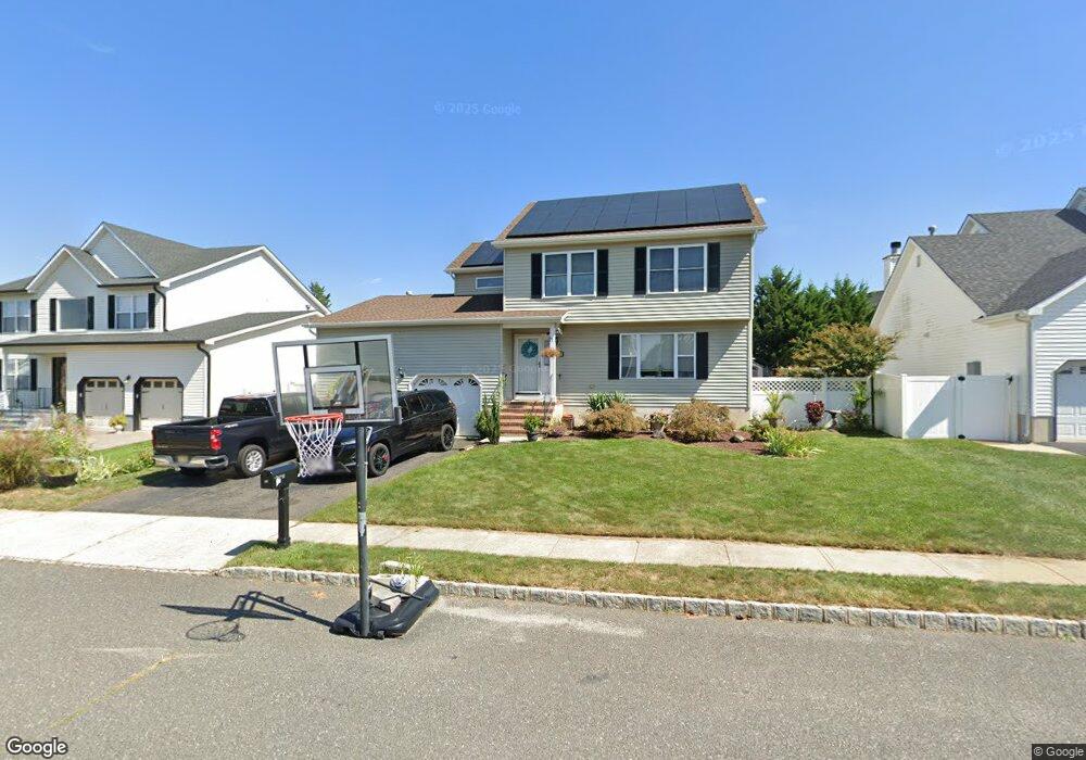
11 Sally St Howell, NJ 07731
Ramtown NeighborhoodEstimated Value: $702,856 - $781,000
4
Beds
3
Baths
1,928
Sq Ft
$387/Sq Ft
Est. Value
About This Home
This home is located at 11 Sally St, Howell, NJ 07731 and is currently estimated at $746,714, approximately $387 per square foot. 11 Sally St is a home located in Monmouth County with nearby schools including Ramtown School, Greenville School, and Howell Township Middle School South.
Ownership History
Date
Name
Owned For
Owner Type
Purchase Details
Closed on
Jul 12, 2010
Sold by
Rudolph Lisa A and Rudolph Stephen A
Bought by
Musto Kevin and Musto Stacey
Current Estimated Value
Home Financials for this Owner
Home Financials are based on the most recent Mortgage that was taken out on this home.
Original Mortgage
$296,000
Outstanding Balance
$197,677
Interest Rate
4.82%
Mortgage Type
New Conventional
Estimated Equity
$549,037
Purchase Details
Closed on
Jan 30, 2009
Sold by
Rudolph Stephen A and Rudolph Lisa A
Bought by
Rudolph Lisa A
Purchase Details
Closed on
Aug 17, 2000
Sold by
Allen Woods Llc
Bought by
Rudolph Stephen and Rudolph Lisa
Home Financials for this Owner
Home Financials are based on the most recent Mortgage that was taken out on this home.
Original Mortgage
$184,350
Interest Rate
8.16%
Create a Home Valuation Report for This Property
The Home Valuation Report is an in-depth analysis detailing your home's value as well as a comparison with similar homes in the area
Home Values in the Area
Average Home Value in this Area
Purchase History
| Date | Buyer | Sale Price | Title Company |
|---|---|---|---|
| Musto Kevin | $370,000 | Multiple | |
| Rudolph Lisa A | -- | Chicago Title Insurance Co | |
| Rudolph Stephen | $204,875 | -- |
Source: Public Records
Mortgage History
| Date | Status | Borrower | Loan Amount |
|---|---|---|---|
| Open | Musto Kevin | $296,000 | |
| Previous Owner | Rudolph Stephen | $184,350 |
Source: Public Records
Tax History
| Year | Tax Paid | Tax Assessment Tax Assessment Total Assessment is a certain percentage of the fair market value that is determined by local assessors to be the total taxable value of land and additions on the property. | Land | Improvement |
|---|---|---|---|---|
| 2025 | $9,898 | $663,300 | $258,100 | $405,200 |
| 2024 | $9,780 | $558,900 | $223,100 | $335,800 |
Source: Public Records
Map
Nearby Homes
- 2 Higgins Ct
- 457 Newtons Corner Rd
- 19 Virginia Dr
- 7 Tracey Ct
- 39 Virginia Dr
- 93 W Shenendoah Rd
- 40 Pinyon St
- 9 E Shenendoah Rd
- 174 Ramtown Greenville Rd
- 28 Jacob Dr
- 18 Rutgers Dr
- 2430 Easy St
- 24 Little Leaf Ln
- 9 Ivy Place
- 4 Pine Cone Ln
- 39 Oak Terrace
- 150 Easy St
- 902 Pioneer Dr
- 51 Alan Terrace
- 242 Moses Milch Dr
Your Personal Tour Guide
Ask me questions while you tour the home.