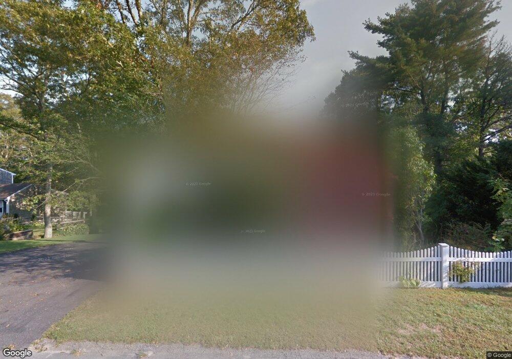
11 Sanderling Dr Bourne, MA 2532
Cataumet NeighborhoodEstimated Value: $615,000 - $732,000
3
Beds
2
Baths
1,201
Sq Ft
$548/Sq Ft
Est. Value
About This Home
This home is located at 11 Sanderling Dr, Bourne, MA 2532 and is currently estimated at $657,667, approximately $547 per square foot. 11 Sanderling Dr is a home located in Barnstable County with nearby schools including Bourne High School, Cadence Academy Preschool - Bourne, and Heritage Christian Academy.
Ownership History
Date
Name
Owned For
Owner Type
Purchase Details
Closed on
Nov 1, 1995
Sold by
Courtney Francis J and Aylmer Judith
Bought by
Watring David M and Watring Margaret J
Current Estimated Value
Create a Home Valuation Report for This Property
The Home Valuation Report is an in-depth analysis detailing your home's value as well as a comparison with similar homes in the area
Home Values in the Area
Average Home Value in this Area
Purchase History
| Date | Buyer | Sale Price | Title Company |
|---|---|---|---|
| Watring David M | $90,000 | -- | |
| Watring David M | $90,000 | -- |
Source: Public Records
Mortgage History
| Date | Status | Borrower | Loan Amount |
|---|---|---|---|
| Open | Watring David M | $115,000 | |
| Closed | Watring David M | $25,000 | |
| Closed | Watring David M | $111,000 | |
| Closed | Watring David M | $126,000 |
Source: Public Records
Tax History
| Year | Tax Paid | Tax Assessment Tax Assessment Total Assessment is a certain percentage of the fair market value that is determined by local assessors to be the total taxable value of land and additions on the property. | Land | Improvement |
|---|---|---|---|---|
| 2025 | $4,634 | $593,300 | $232,900 | $360,400 |
| 2024 | $4,531 | $565,000 | $221,800 | $343,200 |
| 2023 | $4,405 | $500,000 | $196,300 | $303,700 |
| 2022 | $4,184 | $414,700 | $173,700 | $241,000 |
| 2021 | $4,066 | $377,500 | $158,100 | $219,400 |
| 2020 | $3,873 | $360,600 | $156,600 | $204,000 |
| 2019 | $3,669 | $349,100 | $156,600 | $192,500 |
| 2018 | $3,505 | $332,500 | $149,100 | $183,400 |
| 2017 | $3,453 | $335,200 | $153,600 | $181,600 |
| 2016 | $3,060 | $301,200 | $153,600 | $147,600 |
| 2015 | $2,974 | $295,300 | $147,700 | $147,600 |
Source: Public Records
Map
Nearby Homes
- 31 Baxendale Rd
- 15 Oak Ave
- 1234 Route 28a
- 289 Old Main Rd
- 1234 Route 28a
- 250 Scraggy Neck Rd
- 48 Red Brook Harbor Rd
- 75 Winsor Rd
- 393 N Falmouth Hwy Unit 8
- 14 Ryder Rd
- 10 Rockledge Dr
- 209 Waterside Dr
- 267 N Falmouth Hwy
- 91 Wickertree Rd
- 213 N Falmouth Hwy Unit 5A
- 16 Michael Rd
- 41 Braeburn Ct
- 7 4th Ave
- 3 4th Ave
- 75 Streeter Hill Rd
- 8 Whimbrel Dr
- 9 Sanderling Dr
- 30 Baxendale Rd
- 10 Whimbrel Dr
- 12 Whimbrel Dr
- 3 Pintail Cir
- 2 Pintail Cir
- 5 Sanderling Dr
- 5 Sanderling Dr
- 5 Sanderling Dr
- 1379 Rt 28a Unit 4
- 1379 Rt 28a
- 1379 Route 28a Unit 4
- 1379 Route 28a
- 1379 Massachusetts 28a
- 1379 Route 28a
- 1379 Route 28a
- 1383 Route 28a
- 7 Sanderling Dr
- 2 Whimbrel Dr
Your Personal Tour Guide
Ask me questions while you tour the home.