11 Sasqua Trail Unit A Weston, CT 06883
Estimated Value: $761,000 - $1,536,000
1
Bed
1
Bath
960
Sq Ft
$1,186/Sq Ft
Est. Value
About This Home
This home is located at 11 Sasqua Trail Unit A, Weston, CT 06883 and is currently estimated at $1,138,277, approximately $1,185 per square foot. 11 Sasqua Trail Unit A is a home located in Fairfield County with nearby schools including Hurlbutt Elementary School, Weston Intermediate School, and Weston Middle School.
Ownership History
Date
Name
Owned For
Owner Type
Purchase Details
Closed on
Aug 21, 2020
Sold by
Sussman Richard and Lapa-Sussman Jacqueline
Bought by
Sussman Ft
Current Estimated Value
Purchase Details
Closed on
Mar 4, 1985
Bought by
Sussman Richard and Sussman Jacqueline
Create a Home Valuation Report for This Property
The Home Valuation Report is an in-depth analysis detailing your home's value as well as a comparison with similar homes in the area
Home Values in the Area
Average Home Value in this Area
Purchase History
| Date | Buyer | Sale Price | Title Company |
|---|---|---|---|
| Sussman Ft | -- | None Available | |
| Sussman Richard | -- | -- |
Source: Public Records
Mortgage History
| Date | Status | Borrower | Loan Amount |
|---|---|---|---|
| Previous Owner | Sussman Richard | $300,000 | |
| Previous Owner | Sussman Richard | $407,000 | |
| Previous Owner | Sussman Richard | $125,000 |
Source: Public Records
Tax History Compared to Growth
Tax History
| Year | Tax Paid | Tax Assessment Tax Assessment Total Assessment is a certain percentage of the fair market value that is determined by local assessors to be the total taxable value of land and additions on the property. | Land | Improvement |
|---|---|---|---|---|
| 2025 | $16,185 | $677,180 | $170,170 | $507,010 |
| 2024 | $15,893 | $677,180 | $170,170 | $507,010 |
| 2023 | $14,494 | $438,400 | $165,900 | $272,500 |
| 2022 | $14,454 | $438,400 | $165,900 | $272,500 |
| 2021 | $14,432 | $438,400 | $165,900 | $272,500 |
| 2020 | $14,191 | $438,400 | $165,900 | $272,500 |
| 2019 | $14,051 | $434,090 | $161,590 | $272,500 |
| 2018 | $13,152 | $447,500 | $186,800 | $260,700 |
| 2017 | $12,937 | $447,500 | $186,800 | $260,700 |
| 2016 | $12,781 | $447,500 | $186,800 | $260,700 |
| 2015 | $12,830 | $447,500 | $186,800 | $260,700 |
| 2014 | $12,637 | $447,500 | $186,800 | $260,700 |
Source: Public Records
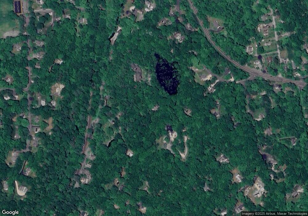
Map
Nearby Homes
- 0 Old Mill Rd
- 20 Georgetown Rd
- 12 Upper Parish Dr
- 00 Old Mill Rd
- 0 Mountain Rd
- 46 Old Farm Rd
- 54 Mountain Rd
- 9 Read Place
- 25 Samuelson Rd
- 96 Georgetown Rd
- 66 Portland Ave
- 175 Mountain Rd
- 13 Indian Hill Rd
- 33 Peaceable St
- 10 Mallory Hill Rd
- 23 Wilson Rd
- 26 Wilridge Rd
- 29 Goodsell Hill Rd
- 38 Honey Hill Rd
- 23 Goodsell Hill Rd
- 11 Sasqua Trail
- 10 Sasqua Trail
- 8 Sasqua Trail
- 9 Sasqua Trail
- 140 Old Mill Rd Unit 142
- 126 Old Mill Rd
- 19 Covenant Ln
- 25 Covenant Ln
- 23 Covenant Ln
- 104 Old Mill Rd
- 12 Covenant Ln
- 92 Old Mill Rd
- 29 Old Mill Rd
- 5 Spruce Hill Rd
- 25 Spruce Hill Rd
- 100 Old Mill Rd
- 94 Old Mill Rd
- 24 Old Mill Rd
- 5 Covenant Ln
- 6 Covenant Ln