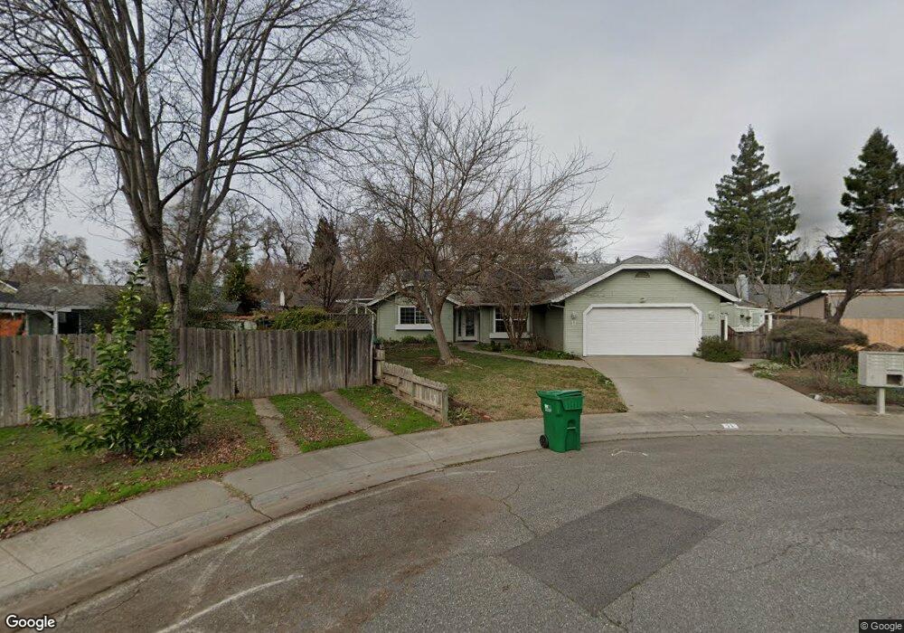
11 Saurat Ct Chico, CA 95926
Chico Vecino NeighborhoodEstimated Value: $344,000 - $450,000
3
Beds
2
Baths
1,566
Sq Ft
$258/Sq Ft
Est. Value
About This Home
This home is located at 11 Saurat Ct, Chico, CA 95926 and is currently estimated at $404,539, approximately $258 per square foot. 11 Saurat Ct is a home located in Butte County with nearby schools including Emma Wilson Elementary School, Chico Junior High School, and Chico High School.
Ownership History
Date
Name
Owned For
Owner Type
Purchase Details
Closed on
Jun 20, 2002
Sold by
Bond James L and Bond Lori J
Bought by
Roop Wesley M and Roop Barbara E Smith
Current Estimated Value
Home Financials for this Owner
Home Financials are based on the most recent Mortgage that was taken out on this home.
Original Mortgage
$54,400
Outstanding Balance
$22,953
Interest Rate
6.78%
Mortgage Type
Seller Take Back
Estimated Equity
$381,586
Create a Home Valuation Report for This Property
The Home Valuation Report is an in-depth analysis detailing your home's value as well as a comparison with similar homes in the area
Home Values in the Area
Average Home Value in this Area
Purchase History
| Date | Buyer | Sale Price | Title Company |
|---|---|---|---|
| Roop Wesley M | $201,500 | Bidwell Title & Escrow Compa |
Source: Public Records
Mortgage History
| Date | Status | Borrower | Loan Amount |
|---|---|---|---|
| Open | Roop Wesley M | $54,400 |
Source: Public Records
Tax History Compared to Growth
Tax History
| Year | Tax Paid | Tax Assessment Tax Assessment Total Assessment is a certain percentage of the fair market value that is determined by local assessors to be the total taxable value of land and additions on the property. | Land | Improvement |
|---|---|---|---|---|
| 2025 | $644 | $65,088 | $16,946 | $48,142 |
| 2024 | $644 | $63,813 | $16,614 | $47,199 |
| 2023 | $635 | $62,563 | $16,289 | $46,274 |
| 2022 | $621 | $61,337 | $15,970 | $45,367 |
| 2021 | $609 | $60,135 | $15,657 | $44,478 |
| 2020 | $606 | $59,519 | $15,497 | $44,022 |
| 2019 | $594 | $58,353 | $15,194 | $43,159 |
| 2018 | $582 | $57,210 | $14,897 | $42,313 |
| 2017 | $568 | $56,089 | $14,605 | $41,484 |
| 2016 | $518 | $54,990 | $14,319 | $40,671 |
| 2015 | $516 | $54,165 | $14,104 | $40,061 |
| 2014 | $503 | $53,105 | $13,828 | $39,277 |
Source: Public Records
Map
Nearby Homes
- 1022 Sir William Ct
- 25 Misty Way
- 1008 Meier Dr
- 2344 Tiffany Way
- 2135 Nord Ave Unit 48
- 2135 Nord Ave Unit 40
- 1045 Windsor Way
- 2628 Wesley Way
- 2644 Wesley Way
- 2636 Wesley Way
- 2652 Wesley Way
- 2645 Wesley Way
- 2655 Wesley Way
- 1236 Glenwood Ave
- 1 4 Acre Ct
- Arcadia Plan at Orchard Creek Estates
- Briarwood Plan at Orchard Creek Estates
- Chestnut Plan at Orchard Creek Estates
- Forsythia Plan at Orchard Creek Estates
- 2 Guynn Ave
- 1441 W Lindo Ave
- 14 Saurat Ct
- 1435 W Lindo Ave
- 1449 W Lindo Ave
- 1478 Trenta Dr
- 1457 W Lindo Ave
- 2393 Moyer Way
- 2385 Moyer Way
- 10 Saurat Ct
- 6 Saurat Ct
- 2375 Moyer Way
- 1465 W Lindo Ave
- 2367 Moyer Way
- 1467 Trenta Dr
- 1463 Trenta Dr
- 1471 Trenta Dr
- 1457 Trenta Dr
- 1475 Trenta Dr
- 1436 Trenta Dr
- 1479 Trenta Dr