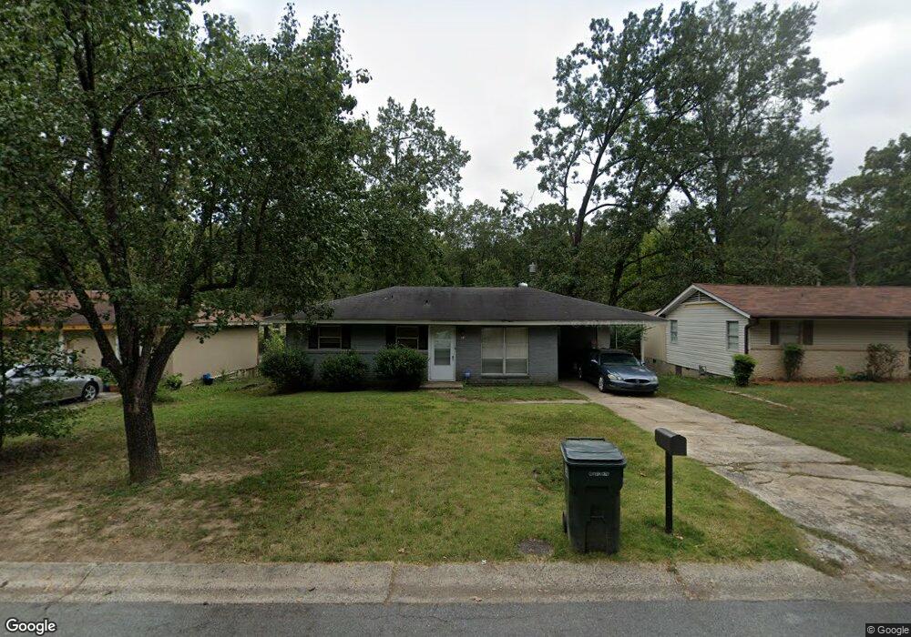
11 Sheffield St Little Rock, AR 72209
Wakefield NeighborhoodEstimated Value: $69,000 - $102,000
--
Bed
1
Bath
875
Sq Ft
$90/Sq Ft
Est. Value
About This Home
This home is located at 11 Sheffield St, Little Rock, AR 72209 and is currently estimated at $79,174, approximately $90 per square foot. 11 Sheffield St is a home located in Pulaski County with nearby schools including Wakefield Elementary School, Cloverdale Middle School, and Little Rock Southwest High School.
Ownership History
Date
Name
Owned For
Owner Type
Purchase Details
Closed on
Dec 8, 2009
Sold by
Us Bank National Association
Bought by
Kimball & James Llc
Current Estimated Value
Purchase Details
Closed on
Aug 18, 2009
Sold by
Johnston Brian Patrick and Johnston Vallery
Bought by
Us Bank National Association
Purchase Details
Closed on
Sep 19, 2005
Sold by
Heffley E L and Johnston Brian Patrick
Bought by
Johnston Brian Patrick
Home Financials for this Owner
Home Financials are based on the most recent Mortgage that was taken out on this home.
Original Mortgage
$34,299
Interest Rate
8.2%
Mortgage Type
Fannie Mae Freddie Mac
Purchase Details
Closed on
Aug 27, 2001
Sold by
Vansbrunt Daphne and Ragsdale Daphne D D
Bought by
Heffley E L
Create a Home Valuation Report for This Property
The Home Valuation Report is an in-depth analysis detailing your home's value as well as a comparison with similar homes in the area
Home Values in the Area
Average Home Value in this Area
Purchase History
| Date | Buyer | Sale Price | Title Company |
|---|---|---|---|
| Kimball & James Llc | $23,000 | Associates Closing & Title | |
| Us Bank National Association | $36,550 | None Available | |
| Johnston Brian Patrick | $39,000 | West Little Rock Title Co | |
| Heffley E L | $4,000 | -- |
Source: Public Records
Mortgage History
| Date | Status | Borrower | Loan Amount |
|---|---|---|---|
| Previous Owner | Johnston Brian Patrick | $34,299 |
Source: Public Records
Tax History Compared to Growth
Tax History
| Year | Tax Paid | Tax Assessment Tax Assessment Total Assessment is a certain percentage of the fair market value that is determined by local assessors to be the total taxable value of land and additions on the property. | Land | Improvement |
|---|---|---|---|---|
| 2025 | $675 | $10,502 | $1,000 | $9,502 |
| 2024 | $578 | $10,502 | $1,000 | $9,502 |
| 2023 | $578 | $10,502 | $1,000 | $9,502 |
| 2022 | $530 | $10,502 | $1,000 | $9,502 |
| 2021 | $485 | $6,880 | $500 | $6,380 |
| 2020 | $482 | $6,880 | $500 | $6,380 |
| 2019 | $482 | $6,880 | $500 | $6,380 |
| 2018 | $482 | $6,880 | $500 | $6,380 |
| 2017 | $482 | $6,880 | $500 | $6,380 |
| 2016 | $554 | $7,920 | $1,800 | $6,120 |
| 2015 | $555 | $7,920 | $1,800 | $6,120 |
| 2014 | $555 | $7,920 | $1,800 | $6,120 |
Source: Public Records
Map
Nearby Homes
- 9 Sheffield St
- 15 Sheffield St
- 7 Sheffield St
- 17 Sheffield St
- 10 Winchester Dr
- 14 Winchester Dr
- 8 Winchester Dr
- 12 Sheffield St
- 18 Winchester Dr
- 16 Sheffield St
- 5 Sheffield St
- 10 Sheffield St
- 19 Sheffield St
- 6 Winchester Dr
- 18 Sheffield St
- 8 Sheffield St
- 20 Winchester Dr
- 3 Sheffield St
- 21 Sheffield St
- 21 Sheffield Dr