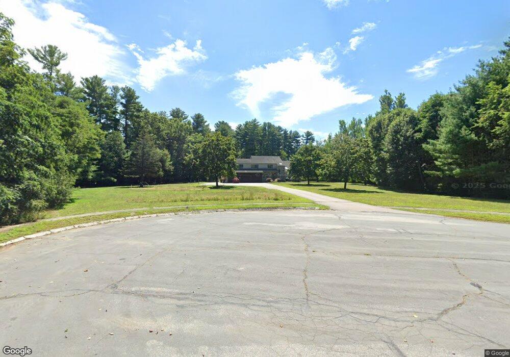
11 Spruce St Blackstone, MA 01504
Estimated Value: $706,000 - $841,000
4
Beds
3
Baths
3,348
Sq Ft
$225/Sq Ft
Est. Value
About This Home
This home is located at 11 Spruce St, Blackstone, MA 01504 and is currently estimated at $753,380, approximately $225 per square foot. 11 Spruce St is a home located in Worcester County with nearby schools including Blackstone-Millville Regional High School and Bethany Christian Academy.
Ownership History
Date
Name
Owned For
Owner Type
Purchase Details
Closed on
Jan 30, 2003
Sold by
Anp Blackstone Energy
Bought by
Brabham Craig W and Brabham Michelle L
Current Estimated Value
Home Financials for this Owner
Home Financials are based on the most recent Mortgage that was taken out on this home.
Original Mortgage
$303,200
Interest Rate
6.09%
Mortgage Type
Purchase Money Mortgage
Purchase Details
Closed on
Aug 12, 2002
Sold by
Muccini Anthony and Muccini Teresa L
Bought by
Anp Blackstone Energy
Create a Home Valuation Report for This Property
The Home Valuation Report is an in-depth analysis detailing your home's value as well as a comparison with similar homes in the area
Home Values in the Area
Average Home Value in this Area
Purchase History
| Date | Buyer | Sale Price | Title Company |
|---|---|---|---|
| Brabham Craig W | $379,000 | -- | |
| Anp Blackstone Energy | $589,900 | -- |
Source: Public Records
Mortgage History
| Date | Status | Borrower | Loan Amount |
|---|---|---|---|
| Open | Anp Blackstone Energy | $298,000 | |
| Closed | Anp Blackstone Energy | $303,200 |
Source: Public Records
Tax History
| Year | Tax Paid | Tax Assessment Tax Assessment Total Assessment is a certain percentage of the fair market value that is determined by local assessors to be the total taxable value of land and additions on the property. | Land | Improvement |
|---|---|---|---|---|
| 2025 | $9,984 | $661,200 | $192,200 | $469,000 |
| 2024 | $9,631 | $589,800 | $209,300 | $380,500 |
| 2023 | $9,595 | $593,000 | $209,300 | $383,700 |
| 2022 | $9,602 | $536,400 | $172,800 | $363,600 |
| 2021 | $15,557 | $409,800 | $170,100 | $239,700 |
| 2020 | $8,016 | $425,000 | $169,100 | $255,900 |
| 2019 | $14,361 | $421,800 | $157,200 | $264,600 |
| 2018 | $3,444 | $397,900 | $150,000 | $247,900 |
| 2017 | $7,259 | $376,900 | $150,000 | $226,900 |
| 2016 | $6,957 | $359,700 | $138,300 | $221,400 |
| 2015 | $7,099 | $364,400 | $140,700 | $223,700 |
Source: Public Records
Map
Nearby Homes
- 183 Elm St Unit 185
- 11 Bellingham Rd
- 27 Liberty Hill Dr
- 5 Bernier Ln
- 36 Indian Run Rd
- 11 Quail Run Rd
- 31 Cemetery St
- 1, 3, 5 Old Lincoln St
- 111 Providence St
- 5 Whitman Cir Unit 5
- 3 Whitman Cir Unit 3
- 1 Whitman Cir Unit 1
- 0 North St Unit 73440626
- 93 Providence St Unit B
- 162 Blackstone St
- 50 Hartford Ave E
- 183-183R Mendon St
- Lot 3 Pickering Rd
- Lot 2 Pickering Rd
- Lot 1 Pickering Rd
Your Personal Tour Guide
Ask me questions while you tour the home.