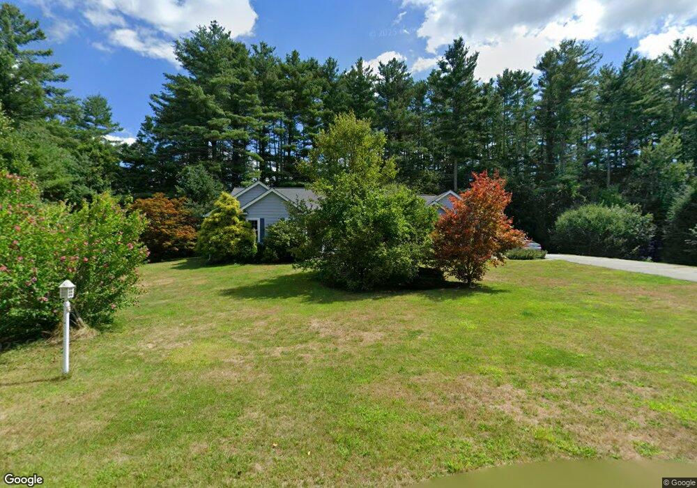
11 Stickney Brook Rd Brookline, NH 03033
Estimated Value: $702,000 - $747,000
4
Beds
3
Baths
3,279
Sq Ft
$220/Sq Ft
Est. Value
About This Home
This home is located at 11 Stickney Brook Rd, Brookline, NH 03033 and is currently estimated at $721,410, approximately $220 per square foot. 11 Stickney Brook Rd is a home with nearby schools including Richard Maghakian Memorial School, Captain Samuel Douglass Academy, and Hollis-Brookline Middle School.
Ownership History
Date
Name
Owned For
Owner Type
Purchase Details
Closed on
Jun 25, 2003
Sold by
Glendale Homes Inc
Bought by
Morris Dorothy A
Current Estimated Value
Home Financials for this Owner
Home Financials are based on the most recent Mortgage that was taken out on this home.
Original Mortgage
$150,000
Interest Rate
5.53%
Create a Home Valuation Report for This Property
The Home Valuation Report is an in-depth analysis detailing your home's value as well as a comparison with similar homes in the area
Home Values in the Area
Average Home Value in this Area
Purchase History
| Date | Buyer | Sale Price | Title Company |
|---|---|---|---|
| Morris Dorothy A | $340,000 | -- |
Source: Public Records
Mortgage History
| Date | Status | Borrower | Loan Amount |
|---|---|---|---|
| Open | Morris Dorothy A | $133,000 | |
| Closed | Morris Dorothy A | $150,000 |
Source: Public Records
Tax History Compared to Growth
Tax History
| Year | Tax Paid | Tax Assessment Tax Assessment Total Assessment is a certain percentage of the fair market value that is determined by local assessors to be the total taxable value of land and additions on the property. | Land | Improvement |
|---|---|---|---|---|
| 2024 | $14,656 | $648,200 | $211,700 | $436,500 |
| 2023 | $13,470 | $648,200 | $211,700 | $436,500 |
| 2022 | $11,496 | $386,800 | $120,400 | $266,400 |
| 2021 | $11,055 | $386,800 | $120,400 | $266,400 |
| 2020 | $10,753 | $386,800 | $120,400 | $266,400 |
| 2019 | $11,554 | $386,800 | $120,400 | $266,400 |
| 2018 | $11,434 | $386,800 | $120,400 | $266,400 |
| 2017 | $10,541 | $320,000 | $96,400 | $223,600 |
| 2016 | $10,419 | $320,000 | $96,400 | $223,600 |
| 2015 | $9,936 | $320,000 | $96,400 | $223,600 |
| 2014 | $10,512 | $320,000 | $96,400 | $223,600 |
| 2013 | $10,122 | $320,000 | $96,400 | $223,600 |
Source: Public Records
Map
Nearby Homes
- 46 Oak Hill Rd
- 55 Oak Hill Rd
- 6 Flint Meadow Dr
- 6 High Oaks Path
- 22 Hobart Hill Rd
- 7 Winterberry Rd
- 9 Winterberry Rd
- 28A Rocky Pond Rd
- 364 Townsend Hill Rd
- 15 N End Rd
- 167 Route 13
- 21 Cranberry St
- 5 Carons Way
- 22 Austin Ln
- 143 Worcester Rd
- 179 Brookline St
- 93 Old Milford Rd
- 0 Brookline St
- 10 Boynton St
- 64 Meadow Rd
- 32 S Main St
- 9 Stickney Brook Rd
- 12 Stickney Brook Rd
- 7 Stickney Brook Rd
- 14 Stickney Brook Rd
- 6 Stickney Brook Rd
- 5 Stickney Brook Rd
- 10 Quigley Way
- 30 S Main St
- 32 So Main St
- 28 S Main St
- 12 Oak Hill Rd
- 4 Quigley Way
- 35 S Main St
- 37 S Main St
- 7 Oak Hill Rd
- 55 Route 13
- 55 Route 13
- 24 S Main St
- 9 Oak Hill Rd