11 Suffolk Ct Unit UN153 Bedford, NH 03110
Bedford NeighborhoodEstimated Value: $377,000 - $413,000
2
Beds
2
Baths
1,050
Sq Ft
$377/Sq Ft
Est. Value
About This Home
This home is located at 11 Suffolk Ct Unit UN153, Bedford, NH 03110 and is currently estimated at $395,994, approximately $377 per square foot. 11 Suffolk Ct Unit UN153 is a home located in Hillsborough County with nearby schools including Mckelvie Intermediate School, Ross A. Lurgio Middle School, and Bedford High School.
Ownership History
Date
Name
Owned For
Owner Type
Purchase Details
Closed on
Jul 2, 2007
Sold by
Cournoyer Dawn
Bought by
Dupont Suzanne M
Current Estimated Value
Home Financials for this Owner
Home Financials are based on the most recent Mortgage that was taken out on this home.
Original Mortgage
$25,000
Interest Rate
6.67%
Mortgage Type
Unknown
Create a Home Valuation Report for This Property
The Home Valuation Report is an in-depth analysis detailing your home's value as well as a comparison with similar homes in the area
Home Values in the Area
Average Home Value in this Area
Purchase History
| Date | Buyer | Sale Price | Title Company |
|---|---|---|---|
| Dupont Suzanne M | $214,900 | -- |
Source: Public Records
Mortgage History
| Date | Status | Borrower | Loan Amount |
|---|---|---|---|
| Open | Dupont Suzanne M | $55,960 | |
| Closed | Dupont Suzanne M | $25,000 | |
| Closed | Dupont Suzanne M | $70,900 |
Source: Public Records
Tax History Compared to Growth
Tax History
| Year | Tax Paid | Tax Assessment Tax Assessment Total Assessment is a certain percentage of the fair market value that is determined by local assessors to be the total taxable value of land and additions on the property. | Land | Improvement |
|---|---|---|---|---|
| 2024 | $5,402 | $341,700 | $0 | $341,700 |
| 2023 | $5,057 | $341,700 | $0 | $341,700 |
| 2022 | $4,581 | $260,300 | $0 | $260,300 |
| 2021 | $4,462 | $260,300 | $0 | $260,300 |
| 2020 | $4,533 | $226,400 | $0 | $226,400 |
| 2019 | $4,290 | $226,400 | $0 | $226,400 |
| 2018 | $4,092 | $200,600 | $0 | $200,600 |
| 2017 | $3,793 | $200,600 | $0 | $200,600 |
| 2016 | $3,628 | $162,200 | $0 | $162,200 |
| 2015 | $3,671 | $161,300 | $0 | $161,300 |
| 2014 | $3,629 | $161,300 | $0 | $161,300 |
| 2013 | $3,576 | $161,300 | $0 | $161,300 |
Source: Public Records
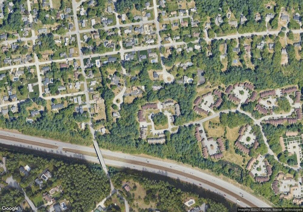
Map
Nearby Homes
- 23 Whittemore St
- 3 Belmont Ct Unit UN43
- 34 Briston Ct
- 11 Palomino Ln
- 80 Wendover Way
- 3 Old Coventry Ln
- 10 Glenwood Ave
- 55 Salem St
- 39 Pilgrim Dr
- 15 Patterson St
- 32 Puritan Dr
- 434 Donald St
- 82 Pilgrim Dr
- 664 S Main St
- 24 Fairbanks St
- 21 Prairie Ct
- 18 Grand Ave Unit Lot 7
- 15 Grand Ave Unit Lot 3
- 17 Grand Ave
- 412 W Mitchell St
- 33 Suffolk Ct Unit UN174
- 31 Suffolk Ct Unit UN172
- 29 Suffolk Ct Unit UN170
- 27 Suffolk Ct Unit UN168
- 25 Suffolk Ct Unit UN166
- 21 Suffolk Ct Unit UN162
- 19 Suffolk Ct Unit UN160
- 17 Suffolk Ct Unit UN158
- 15 Suffolk Ct Unit UN156
- 9 Suffolk Ct Unit UN151
- 7 Suffolk Ct Unit UN149
- 5 Suffolk Ct Unit UN147
- 3 Suffolk Ct Unit UN145
- 1 Suffolk Ct Unit UN143
- 32 Suffolk Ct Unit UN173
- 30 Suffolk Ct Unit UN171
- 28 Suffolk Ct Unit UN169
- 26 Suffolk Ct Unit UN167
- 24 Suffolk Ct Unit UN165
- 22 Suffolk Ct Unit UN163