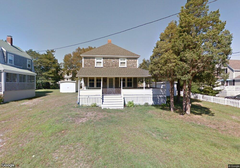
11 Tide Way Rd Pocasset, MA 02559
Pocasset NeighborhoodEstimated Value: $777,000 - $907,000
4
Beds
1
Bath
1,360
Sq Ft
$614/Sq Ft
Est. Value
About This Home
This home is located at 11 Tide Way Rd, Pocasset, MA 02559 and is currently estimated at $834,599, approximately $613 per square foot. 11 Tide Way Rd is a home located in Barnstable County with nearby schools including Bourne High School and Cadence Academy Preschool - Bourne.
Ownership History
Date
Name
Owned For
Owner Type
Purchase Details
Closed on
Sep 26, 2008
Sold by
Kelly Jamie and Maher Jane Kelly
Bought by
Shea Colleen T and Shea Michael A
Current Estimated Value
Home Financials for this Owner
Home Financials are based on the most recent Mortgage that was taken out on this home.
Original Mortgage
$225,000
Outstanding Balance
$149,403
Interest Rate
6.57%
Mortgage Type
Purchase Money Mortgage
Estimated Equity
$685,196
Purchase Details
Closed on
Apr 24, 2008
Sold by
Kelly Rt and Hamilton
Bought by
Kelly Jamie and Maher Jane Kelly
Create a Home Valuation Report for This Property
The Home Valuation Report is an in-depth analysis detailing your home's value as well as a comparison with similar homes in the area
Home Values in the Area
Average Home Value in this Area
Purchase History
| Date | Buyer | Sale Price | Title Company |
|---|---|---|---|
| Shea Colleen T | $445,000 | -- | |
| Shea Colleen T | $445,000 | -- | |
| Kelly Jamie | -- | -- | |
| Kelly Jamie | -- | -- |
Source: Public Records
Mortgage History
| Date | Status | Borrower | Loan Amount |
|---|---|---|---|
| Open | Shea Colleen T | $225,000 | |
| Closed | Kelly Jamie | $225,000 |
Source: Public Records
Tax History Compared to Growth
Tax History
| Year | Tax Paid | Tax Assessment Tax Assessment Total Assessment is a certain percentage of the fair market value that is determined by local assessors to be the total taxable value of land and additions on the property. | Land | Improvement |
|---|---|---|---|---|
| 2025 | $5,351 | $685,200 | $428,000 | $257,200 |
| 2024 | $5,234 | $652,600 | $407,600 | $245,000 |
| 2023 | $4,710 | $534,600 | $317,400 | $217,200 |
| 2022 | $4,258 | $422,000 | $249,000 | $173,000 |
| 2021 | $4,142 | $384,600 | $226,600 | $158,000 |
| 2020 | $4,101 | $381,800 | $224,500 | $157,300 |
| 2019 | $3,923 | $373,300 | $224,500 | $148,800 |
| 2018 | $3,807 | $361,200 | $219,300 | $141,900 |
| 2017 | $3,908 | $379,400 | $238,900 | $140,500 |
| 2016 | $3,569 | $351,300 | $217,200 | $134,100 |
| 2015 | $3,538 | $351,300 | $217,200 | $134,100 |
Source: Public Records
Map
Nearby Homes
- 5 Tide Way Rd
- 28 Spurr Rd
- 49 N Shore Rd
- 59 Wenaumet Bluff Dr
- 61 Wenaumet Bluff Dr
- 55 Wenaumet Bluff Dr
- 51 Wenaumet Bluff Dr
- 1 Tide Way Rd
- 6 Tide Way Rd
- 29 Buena Vista Rd
- 63 Wenaumet Bluff Dr
- 2 Tide Way Rd
- 39 N Shore Rd
- 36 Fairview Rd
- 28 Fairview Rd
- 46 N Shore Rd
- 58 Wenaumet Bluff Dr
- 42 Fairview Rd
- 42 Fairview Rd
- 42 Fairview Rd