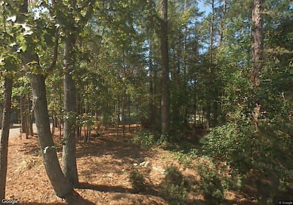
11 Tranquil Point Lexington, SC 29072
Estimated Value: $1,120,000 - $2,037,000
5
Beds
4
Baths
5,510
Sq Ft
$304/Sq Ft
Est. Value
About This Home
This home is located at 11 Tranquil Point, Lexington, SC 29072 and is currently estimated at $1,676,640, approximately $304 per square foot. 11 Tranquil Point is a home located in Lexington County with nearby schools including New Providence Elementary School, River Bluff High School, and American Leadership Academy South Carolina-Lexington Campus.
Ownership History
Date
Name
Owned For
Owner Type
Purchase Details
Closed on
May 28, 2021
Sold by
Harmon Douglas S and Harmon Carol Renee
Bought by
Lupton Theodore N and Lupton Michelle Q
Current Estimated Value
Purchase Details
Closed on
Jan 27, 2012
Sold by
Johnson David S
Bought by
Harmon Douglas S and Harmon Carol Renee
Home Financials for this Owner
Home Financials are based on the most recent Mortgage that was taken out on this home.
Original Mortgage
$417,000
Interest Rate
3.99%
Mortgage Type
Construction
Create a Home Valuation Report for This Property
The Home Valuation Report is an in-depth analysis detailing your home's value as well as a comparison with similar homes in the area
Home Values in the Area
Average Home Value in this Area
Purchase History
| Date | Buyer | Sale Price | Title Company |
|---|---|---|---|
| Lupton Theodore N | $1,500,000 | None Available | |
| Harmon Douglas S | $907,500 | -- |
Source: Public Records
Mortgage History
| Date | Status | Borrower | Loan Amount |
|---|---|---|---|
| Previous Owner | Harmon Douglas S | $417,000 |
Source: Public Records
Tax History Compared to Growth
Tax History
| Year | Tax Paid | Tax Assessment Tax Assessment Total Assessment is a certain percentage of the fair market value that is determined by local assessors to be the total taxable value of land and additions on the property. | Land | Improvement |
|---|---|---|---|---|
| 2024 | $8,959 | $60,000 | $14,000 | $46,000 |
| 2023 | $8,959 | $60,000 | $14,000 | $46,000 |
| 2022 | $5,250 | $60,000 | $14,000 | $46,000 |
| 2020 | $5,250 | $34,376 | $14,000 | $20,376 |
| 2019 | $4,931 | $31,721 | $12,000 | $19,721 |
| 2018 | $4,840 | $31,721 | $12,000 | $19,721 |
| 2017 | $4,695 | $31,721 | $12,000 | $19,721 |
| 2016 | $4,652 | $31,720 | $12,000 | $19,720 |
| 2014 | $5,050 | $35,998 | $12,000 | $23,998 |
| 2013 | -- | $54,000 | $18,000 | $36,000 |
Source: Public Records
Map
Nearby Homes
- 112 Plymouth Pass Dr
- 154 Pilgrim Church Rd
- 312 Settlers Trail
- 420 Plymouth Pass Dr
- 561 Plymouth Pass Dr
- 109 Armanda Rd
- 712 Bentley Dr
- 707 Blue Pixie Ct
- 43 Boardwalk Ln
- 113 Cherokee Pond Ct
- 145 Cherokee Pond Ct
- 109 Timberline Ct
- 113 Silverstone Rd
- 2225 Old Cherokee Rd Unit LOT 3
- 2235 Old Cherokee Rd Unit LOT 5
- 2229 Old Cherokee Rd Unit LOT 4
- 2247 Old Cherokee Rd Unit LOT 6
- 2221 Old Cherokee Rd Unit LOT 2
- 130 Power Point Ln
- 108 Hunters Ridge Dr
- 15 Tranquil Point
- 7 Tranquil Point
- 210 Pilgrim Church Rd
- 204 Pilgrim Church Rd
- 133 Sassafras Trail
- 143 Sixteen Mile Ct
- 216 Pilgrim Church Rd
- 4 Tranquil Point
- 0 Sassafras Trail
- 5 Tranquil Point
- 137 Sassafras Trail
- 1 Tranquil Point
- 120 Plymouth Pass Dr
- 124 Plymouth Pass Dr
- 135 Sixteen Mile Ct
- 116 Plymouth Pass Dr
- 128 Plymouth Pass Dr
- 132 Plymouth Pass Dr
- 108 Plymouth Pass Dr
- 104 Plymouth Pass Dr
