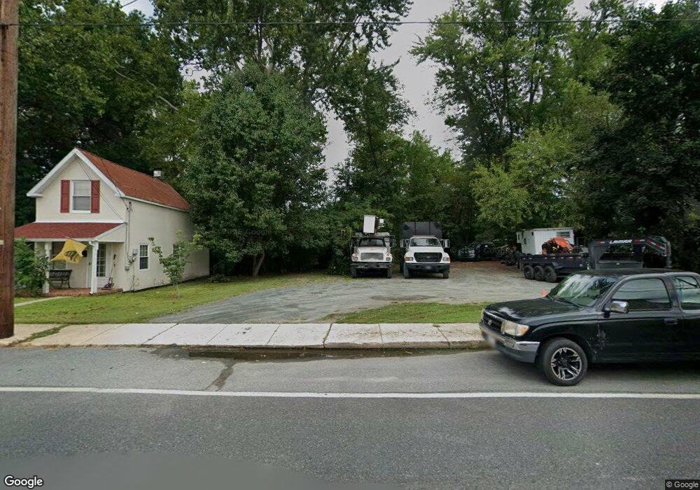
11 W Race St North East, MD 21901
Estimated Value: $177,000 - $250,000
--
Bed
2
Baths
775
Sq Ft
$269/Sq Ft
Est. Value
About This Home
This home is located at 11 W Race St, North East, MD 21901 and is currently estimated at $208,734, approximately $269 per square foot. 11 W Race St is a home located in Cecil County with nearby schools including North East Elementary School, North East Middle School, and North East High School.
Ownership History
Date
Name
Owned For
Owner Type
Purchase Details
Closed on
Sep 10, 2020
Sold by
Capital Development Associates Inc
Bought by
Wood David E and Wood Lisa
Current Estimated Value
Purchase Details
Closed on
Oct 26, 2012
Sold by
Wehner Norman P and Wehner Lisa A
Bought by
Capital Development Associates Inc
Purchase Details
Closed on
Apr 17, 2003
Sold by
Wehner Norman
Bought by
Wehner Norman P and Wehner Lisa A
Purchase Details
Closed on
Aug 28, 1989
Sold by
Williams George A
Bought by
Wehner Norman
Create a Home Valuation Report for This Property
The Home Valuation Report is an in-depth analysis detailing your home's value as well as a comparison with similar homes in the area
Home Values in the Area
Average Home Value in this Area
Purchase History
| Date | Buyer | Sale Price | Title Company |
|---|---|---|---|
| Wood David E | $48,000 | None Available | |
| Capital Development Associates Inc | $95,000 | None Available | |
| Wehner Norman P | -- | -- | |
| Wehner Norman | $21,000 | -- |
Source: Public Records
Mortgage History
| Date | Status | Borrower | Loan Amount |
|---|---|---|---|
| Closed | Wehner Norman P | -- |
Source: Public Records
Tax History Compared to Growth
Tax History
| Year | Tax Paid | Tax Assessment Tax Assessment Total Assessment is a certain percentage of the fair market value that is determined by local assessors to be the total taxable value of land and additions on the property. | Land | Improvement |
|---|---|---|---|---|
| 2025 | $2,097 | $111,967 | $0 | $0 |
| 2024 | $1,999 | $106,533 | $0 | $0 |
| 2023 | $1,911 | $101,100 | $47,500 | $53,600 |
| 2022 | $1,883 | $100,233 | $0 | $0 |
| 2021 | $1,828 | $99,367 | $0 | $0 |
| 2020 | $1,815 | $98,500 | $47,500 | $51,000 |
| 2019 | $1,609 | $98,500 | $47,500 | $51,000 |
| 2018 | $1,809 | $98,500 | $47,500 | $51,000 |
| 2017 | $1,848 | $107,600 | $0 | $0 |
| 2016 | $1,835 | $107,133 | $0 | $0 |
| 2015 | $1,835 | $106,667 | $0 | $0 |
| 2014 | $1,935 | $106,200 | $0 | $0 |
Source: Public Records
Map
Nearby Homes
- 15 S Mauldin Ave
- 224 W Cecil Ave
- parcel # 66 Rolling Mill Ln
- 122 NE Isle Dr
- 144 NE Isles Dr Unit 95A
- 73 NE Isle Dr
- 0 Pulaski Hwy
- 2515 Pulaski Hwy
- 14 Mallory Way Unit WYNDHAM
- 37 NE Isle Dr
- 62 Rehill Ave
- 6 Colonial Cir
- 101 Belvue Rd
- 0 Mallory Way Unit MDCC169342
- 0 Mallory Way Unit MDCC2003990
- 630 W Old Philadelphia Rd
- 51 Hickory Dr
- 36 Viburnum Ave
- 162 Razor Strap Rd
- 13 Forest Dr