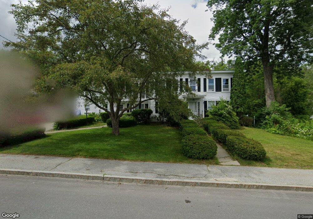
11 West St Antrim, NH 03440
Estimated Value: $269,301 - $406,000
5
Beds
3
Baths
2,960
Sq Ft
$123/Sq Ft
Est. Value
About This Home
This home is located at 11 West St, Antrim, NH 03440 and is currently estimated at $365,325, approximately $123 per square foot. 11 West St is a home located in Hillsborough County with nearby schools including Antrim Elementary School, Great Brook School, and Conval Regional High School.
Ownership History
Date
Name
Owned For
Owner Type
Purchase Details
Closed on
Sep 12, 2022
Sold by
Nancy L Kierstead Ret
Bought by
Roth Jeffrey D
Current Estimated Value
Home Financials for this Owner
Home Financials are based on the most recent Mortgage that was taken out on this home.
Original Mortgage
$176,000
Outstanding Balance
$168,214
Interest Rate
5.3%
Mortgage Type
Purchase Money Mortgage
Estimated Equity
$197,111
Purchase Details
Closed on
May 18, 2020
Sold by
Kierstead Nancy L
Bought by
Nancy L Kierstead Ret
Create a Home Valuation Report for This Property
The Home Valuation Report is an in-depth analysis detailing your home's value as well as a comparison with similar homes in the area
Home Values in the Area
Average Home Value in this Area
Purchase History
| Date | Buyer | Sale Price | Title Company |
|---|---|---|---|
| Roth Jeffrey D | $220,000 | None Available | |
| Nancy L Kierstead Ret | -- | None Available |
Source: Public Records
Mortgage History
| Date | Status | Borrower | Loan Amount |
|---|---|---|---|
| Open | Roth Jeffrey D | $176,000 |
Source: Public Records
Tax History Compared to Growth
Tax History
| Year | Tax Paid | Tax Assessment Tax Assessment Total Assessment is a certain percentage of the fair market value that is determined by local assessors to be the total taxable value of land and additions on the property. | Land | Improvement |
|---|---|---|---|---|
| 2024 | $6,563 | $315,700 | $112,700 | $203,000 |
| 2023 | $5,916 | $315,700 | $112,700 | $203,000 |
| 2022 | $5,695 | $204,420 | $43,600 | $160,820 |
| 2021 | $5,329 | $204,420 | $43,600 | $160,820 |
| 2020 | $5,836 | $204,420 | $43,600 | $160,820 |
| 2019 | $5,416 | $200,820 | $43,600 | $157,220 |
| 2018 | $5,213 | $200,820 | $43,600 | $157,220 |
| 2016 | $5,213 | $186,370 | $41,600 | $144,770 |
| 2015 | $5,168 | $186,370 | $41,600 | $144,770 |
| 2012 | $5,219 | $220,500 | $51,620 | $168,880 |
Source: Public Records
Map
Nearby Homes
- 17 West St
- 8 Wallace St
- 7 Elm Street Extension
- 1 Goodell Rd
- 42 Pleasant St
- 479 U S 202
- 0 Whiton Rd Unit 55
- 63 Balch Farm Rd
- M16-L02 U S Highway 202
- 51 Whiton Rd
- 15 Dodge Hill Rd
- 43 Greenfield Rd
- 0 Meetinghouse Hill Rd Unit 37
- 0 Bridle Path Rd Unit 5024544
- 184 Francestown Rd
- 50 Mulhall Farm Rd
- 151 U S 202
- 0 Craig Rd Unit 5046605
- 2337 2nd Nh Turnpike
- 0 Concord St Unit 5041004