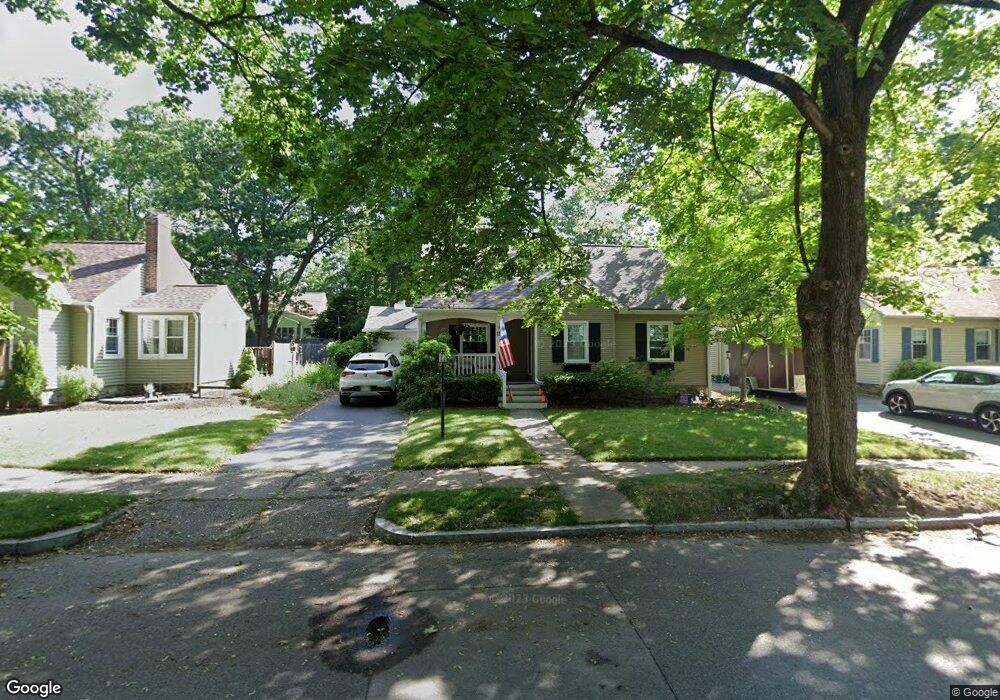
11 Westbrook Rd Worcester, MA 01602
Salisbury Street NeighborhoodEstimated Value: $509,000 - $575,000
4
Beds
2
Baths
2,160
Sq Ft
$249/Sq Ft
Est. Value
About This Home
This home is located at 11 Westbrook Rd, Worcester, MA 01602 and is currently estimated at $537,756, approximately $248 per square foot. 11 Westbrook Rd is a home located in Worcester County with nearby schools including Chandler Magnet, Jacob Hiatt Magnet School, and Flagg Street School.
Create a Home Valuation Report for This Property
The Home Valuation Report is an in-depth analysis detailing your home's value as well as a comparison with similar homes in the area
Home Values in the Area
Average Home Value in this Area
Tax History
| Year | Tax Paid | Tax Assessment Tax Assessment Total Assessment is a certain percentage of the fair market value that is determined by local assessors to be the total taxable value of land and additions on the property. | Land | Improvement |
|---|---|---|---|---|
| 2025 | $6,207 | $470,600 | $121,800 | $348,800 |
| 2024 | $6,058 | $440,600 | $121,800 | $318,800 |
| 2023 | $5,822 | $406,000 | $104,900 | $301,100 |
| 2022 | $5,374 | $353,300 | $83,900 | $269,400 |
| 2021 | $5,452 | $334,900 | $67,100 | $267,800 |
| 2020 | $5,284 | $310,800 | $67,000 | $243,800 |
| 2019 | $5,105 | $283,600 | $64,500 | $219,100 |
| 2018 | $5,100 | $269,700 | $64,500 | $205,200 |
| 2017 | $4,863 | $253,000 | $64,500 | $188,500 |
| 2016 | $4,961 | $240,700 | $52,100 | $188,600 |
| 2015 | $4,831 | $240,700 | $52,100 | $188,600 |
| 2014 | $4,600 | $235,400 | $52,100 | $183,300 |
Source: Public Records
Map
Nearby Homes
- 31 Lenox St
- 3 Westwood Dr
- 93 Newton Ave N
- 6 Paul Revere Rd
- 7 Longworth Rd
- 19 Kenilworth Rd
- 83 Newton Ave N
- 8 Old Colony Rd
- 493 Salisbury St
- 40 Westwood Dr
- 23 Orrison St
- 59 Beechmont St
- 3A Chalmers Rd
- 18 Hadwen Ln
- 49 Metcalf St
- 19 Highland Terrace
- 6 Newton Ave
- 3 Suburban Rd
- 3 Old English Rd
- 163 Moreland St
Your Personal Tour Guide
Ask me questions while you tour the home.