11 Weston Taylors Ln Orleans, MA 02653
Estimated Value: $1,189,359 - $2,035,000
3
Beds
2
Baths
1,642
Sq Ft
$941/Sq Ft
Est. Value
About This Home
This home is located at 11 Weston Taylors Ln, Orleans, MA 02653 and is currently estimated at $1,545,590, approximately $941 per square foot. 11 Weston Taylors Ln is a home located in Barnstable County with nearby schools including Orleans Elementary School, Nauset Regional Middle School, and Nauset Regional High School.
Ownership History
Date
Name
Owned For
Owner Type
Purchase Details
Closed on
May 29, 2019
Sold by
Henson Drusilla
Bought by
Brinkmere Holdings Llc
Current Estimated Value
Purchase Details
Closed on
Aug 3, 2007
Sold by
Henson Gina M and Henson Truman
Bought by
Henson Drusilla
Create a Home Valuation Report for This Property
The Home Valuation Report is an in-depth analysis detailing your home's value as well as a comparison with similar homes in the area
Home Values in the Area
Average Home Value in this Area
Purchase History
| Date | Buyer | Sale Price | Title Company |
|---|---|---|---|
| Brinkmere Holdings Llc | -- | -- | |
| Henson Drusilla | $950,000 | -- |
Source: Public Records
Tax History Compared to Growth
Tax History
| Year | Tax Paid | Tax Assessment Tax Assessment Total Assessment is a certain percentage of the fair market value that is determined by local assessors to be the total taxable value of land and additions on the property. | Land | Improvement |
|---|---|---|---|---|
| 2025 | $6,518 | $1,044,600 | $613,900 | $430,700 |
| 2024 | $6,285 | $980,500 | $601,800 | $378,700 |
| 2023 | $6,033 | $968,300 | $602,400 | $365,900 |
| 2022 | $5,386 | $748,000 | $492,900 | $255,100 |
| 2021 | $5,627 | $717,700 | $495,200 | $222,500 |
| 2020 | $5,357 | $708,600 | $495,200 | $213,400 |
| 2019 | $5,130 | $693,300 | $481,400 | $211,900 |
| 2018 | $4,485 | $676,500 | $472,100 | $204,400 |
| 2017 | $4,242 | $670,100 | $472,100 | $198,000 |
| 2016 | $4,279 | $662,400 | $468,300 | $194,100 |
| 2015 | $4,169 | $649,400 | $459,000 | $190,400 |
Source: Public Records
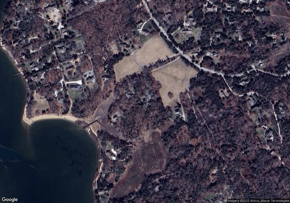
Map
Nearby Homes
- 5 Kidd Way
- 64 Pershing Ln
- 63 Field Rd
- 63 Old Field Rd
- 11 Fox Ridge Dr
- 15 Dale Ann Dr
- 25 Pleasant View Dr
- 66 Tides End Ln
- 24 Sparrowhawk Rd
- 75 Monument Rd
- 131 Pochet Rd
- 7 Brick Hill Rd
- 7 Brick Hill Ext Rd
- 75 Areys Ln
- 6 Apple Way
- 136 Monument Rd
- 7 Lockwood Ln
- 142 Monument Rd
- 34 Cedar Land Rd
- 36 Cedar Land Rd
- 41 Weston Taylors Ln
- 9 Weston Taylors Ln
- 177 Barley Neck Rd
- 175 Barley Neck Rd
- 27 Weston Taylors Ln
- 171 Barley Neck Rd
- 37 Jack Knife Point Rd
- 40 Weston Taylors Ln
- 169 Barley Neck Rd
- 37 Jacknife Point Rd
- 45 Jacknife Point Rd
- 167 Barley Neck Rd
- 34 Weston Taylors Ln
- 46 Jacknife Point Rd
- 41 Jacknife Point Rd
- 41 Jacknife Point Rd
- 41 & 43 Jack Knife Point Rd
- 38 Weston Taylors Ln
- 170 Barley Neck Rd
- 157 Barley Neck Rd