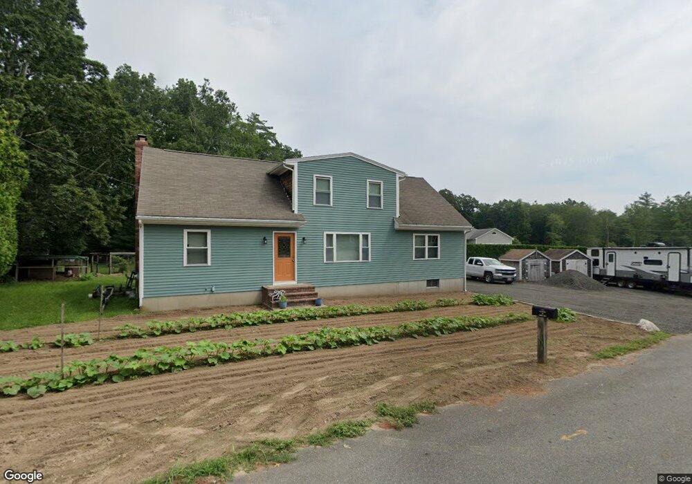
11 Whelden Ln Acushnet, MA 02743
Sherwood Forest NeighborhoodEstimated Value: $543,507 - $613,000
3
Beds
3
Baths
2,246
Sq Ft
$258/Sq Ft
Est. Value
About This Home
This home is located at 11 Whelden Ln, Acushnet, MA 02743 and is currently estimated at $579,127, approximately $257 per square foot. 11 Whelden Ln is a home located in Bristol County with nearby schools including Acushnet Elementary School, Albert F Ford Middle School, and All Saints Catholic School.
Ownership History
Date
Name
Owned For
Owner Type
Purchase Details
Closed on
Nov 19, 2021
Sold by
Matton Amanda K
Bought by
Amanda K Matton Ret and Matton
Current Estimated Value
Purchase Details
Closed on
Aug 29, 2018
Sold by
Tomkiewicz Stanley D and Tomkiewicz Amanda
Bought by
Matton Amanda K
Home Financials for this Owner
Home Financials are based on the most recent Mortgage that was taken out on this home.
Original Mortgage
$165,000
Interest Rate
4.5%
Mortgage Type
New Conventional
Purchase Details
Closed on
Oct 26, 2010
Sold by
Tomkiewicz Stanley D
Bought by
Tomkiewicz Stanley D and Tomkiewicz Amanda
Purchase Details
Closed on
Jan 26, 2004
Sold by
Lapointe Norma F and Tomkiewicz Norma T
Bought by
Tomkiewicz Stanley D
Purchase Details
Closed on
Apr 4, 1977
Bought by
Tomkiewicz Stanley D
Create a Home Valuation Report for This Property
The Home Valuation Report is an in-depth analysis detailing your home's value as well as a comparison with similar homes in the area
Home Values in the Area
Average Home Value in this Area
Purchase History
| Date | Buyer | Sale Price | Title Company |
|---|---|---|---|
| Amanda K Matton Ret | -- | None Available | |
| Matton Amanda K | -- | -- | |
| Tomkiewicz Stanley D | -- | -- | |
| Tomkiewicz Stanley D | -- | -- | |
| Tomkiewicz Stanley D | -- | -- |
Source: Public Records
Mortgage History
| Date | Status | Borrower | Loan Amount |
|---|---|---|---|
| Previous Owner | Matton Amanda K | $165,000 | |
| Previous Owner | Tomkiewicz Stanley D | $7,980 | |
| Previous Owner | Tomkiewicz Stanley D | $5,051 |
Source: Public Records
Tax History
| Year | Tax Paid | Tax Assessment Tax Assessment Total Assessment is a certain percentage of the fair market value that is determined by local assessors to be the total taxable value of land and additions on the property. | Land | Improvement |
|---|---|---|---|---|
| 2025 | $50 | $466,000 | $126,800 | $339,200 |
| 2024 | $4,719 | $413,600 | $120,100 | $293,500 |
| 2023 | $4,734 | $394,500 | $109,000 | $285,500 |
| 2022 | $4,676 | $352,400 | $102,300 | $250,100 |
| 2021 | $4,336 | $307,700 | $102,300 | $205,400 |
| 2020 | $4,196 | $301,000 | $95,600 | $205,400 |
| 2019 | $3,982 | $280,800 | $91,200 | $189,600 |
| 2018 | $3,672 | $266,600 | $91,200 | $175,400 |
| 2017 | $3,724 | $258,600 | $91,200 | $167,400 |
| 2016 | $3,760 | $258,800 | $91,200 | $167,600 |
| 2015 | $3,443 | $241,100 | $91,200 | $149,900 |
Source: Public Records
Map
Nearby Homes
- 329 Middle Rd
- 79 Park Dr
- 7 Hamlin St
- 1015 Forbes St
- 941 Bartlett St
- 23 Coury Dr
- ES Acushnet Ave
- 40 Foley Dr
- 363 Main St
- 68 Gisele's Way
- 489 Main St
- 23 Oliveira Ave
- 1044 Phillips Rd Unit 20
- 1044 Victoria St Unit B-29
- 0 Church Dutton & Chaffee Unit 73371719
- 1056 Victoria St Unit A-13
- 973 Pembroke St
- 279 Adelaide St
- 15 Ball St
- 1251 Church St Unit 10
Your Personal Tour Guide
Ask me questions while you tour the home.