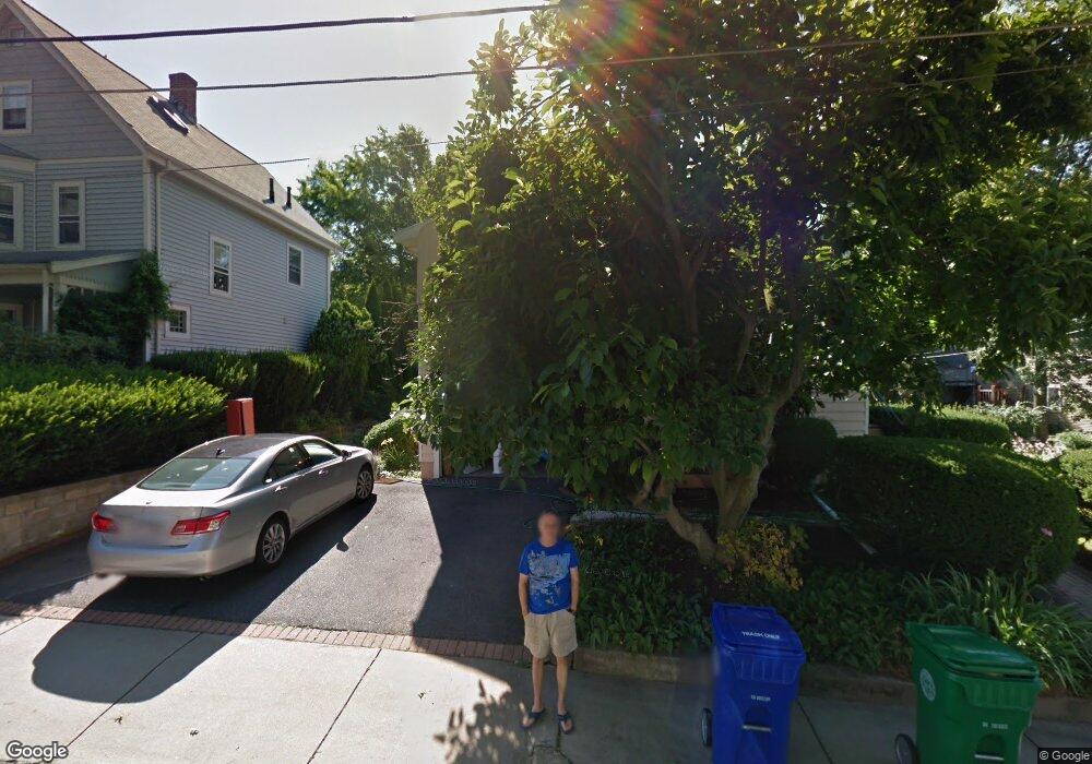
11 White Ave Newton Center, MA 02459
Thompsonville NeighborhoodEstimated Value: $1,257,000 - $1,483,914
3
Beds
3
Baths
1,288
Sq Ft
$1,067/Sq Ft
Est. Value
About This Home
This home is located at 11 White Ave, Newton Center, MA 02459 and is currently estimated at $1,373,979, approximately $1,066 per square foot. 11 White Ave is a home located in Middlesex County with nearby schools including Bowen School, Oak Hill Middle School, and Newton South High School.
Ownership History
Date
Name
Owned For
Owner Type
Purchase Details
Closed on
Oct 9, 2018
Sold by
Otoole Robert and Otoole Nadia
Bought by
Nadia Otool Ret
Current Estimated Value
Purchase Details
Closed on
Aug 24, 2009
Sold by
Cantera Pasquale and Cantera Esther
Bought by
Otoole Robert and Otoole Nadia
Home Financials for this Owner
Home Financials are based on the most recent Mortgage that was taken out on this home.
Original Mortgage
$400,000
Interest Rate
5.19%
Mortgage Type
Purchase Money Mortgage
Create a Home Valuation Report for This Property
The Home Valuation Report is an in-depth analysis detailing your home's value as well as a comparison with similar homes in the area
Home Values in the Area
Average Home Value in this Area
Purchase History
| Date | Buyer | Sale Price | Title Company |
|---|---|---|---|
| Nadia Otool Ret | -- | -- | |
| Otoole Robert | $600,000 | -- |
Source: Public Records
Mortgage History
| Date | Status | Borrower | Loan Amount |
|---|---|---|---|
| Previous Owner | Otoole Robert | $400,000 |
Source: Public Records
Tax History Compared to Growth
Tax History
| Year | Tax Paid | Tax Assessment Tax Assessment Total Assessment is a certain percentage of the fair market value that is determined by local assessors to be the total taxable value of land and additions on the property. | Land | Improvement |
|---|---|---|---|---|
| 2025 | $11,743 | $1,198,300 | $1,132,300 | $66,000 |
| 2024 | $11,355 | $1,163,400 | $1,099,300 | $64,100 |
| 2023 | $10,593 | $1,040,600 | $856,300 | $184,300 |
| 2022 | $10,136 | $963,500 | $792,900 | $170,600 |
| 2021 | $9,781 | $909,000 | $748,000 | $161,000 |
| 2020 | $9,490 | $909,000 | $748,000 | $161,000 |
| 2019 | $9,222 | $882,500 | $726,200 | $156,300 |
| 2018 | $8,700 | $804,100 | $648,700 | $155,400 |
| 2017 | $8,436 | $758,600 | $612,000 | $146,600 |
| 2016 | $8,068 | $709,000 | $572,000 | $137,000 |
| 2015 | $7,642 | $658,200 | $534,600 | $123,600 |
Source: Public Records
Map
Nearby Homes
- 42 Bow Rd
- 5 Halcyon Rd
- 20 Hamlet St
- 20 Hamlet St Unit 1
- 85 Dudley Rd
- 266 Langley Rd Unit 1
- 21 Philbrick Rd
- 625 Boylston St
- 42 Sunhill Ln
- 628 Boylston St
- 35 Haynes Rd
- 20 Bartlett Terrace
- 41-43 John Unit B
- 671 Boylston St
- 136 Dudley Rd
- 250 Hammond Pond Pkwy Unit 1604N
- 250 Hammond Pond Pkwy Unit 1002N
- 250 Hammond Pond Pkwy Unit 614S
- 250 Hammond Pond Pkwy Unit 603S
- 250 Hammond Pond Pkwy Unit 615N