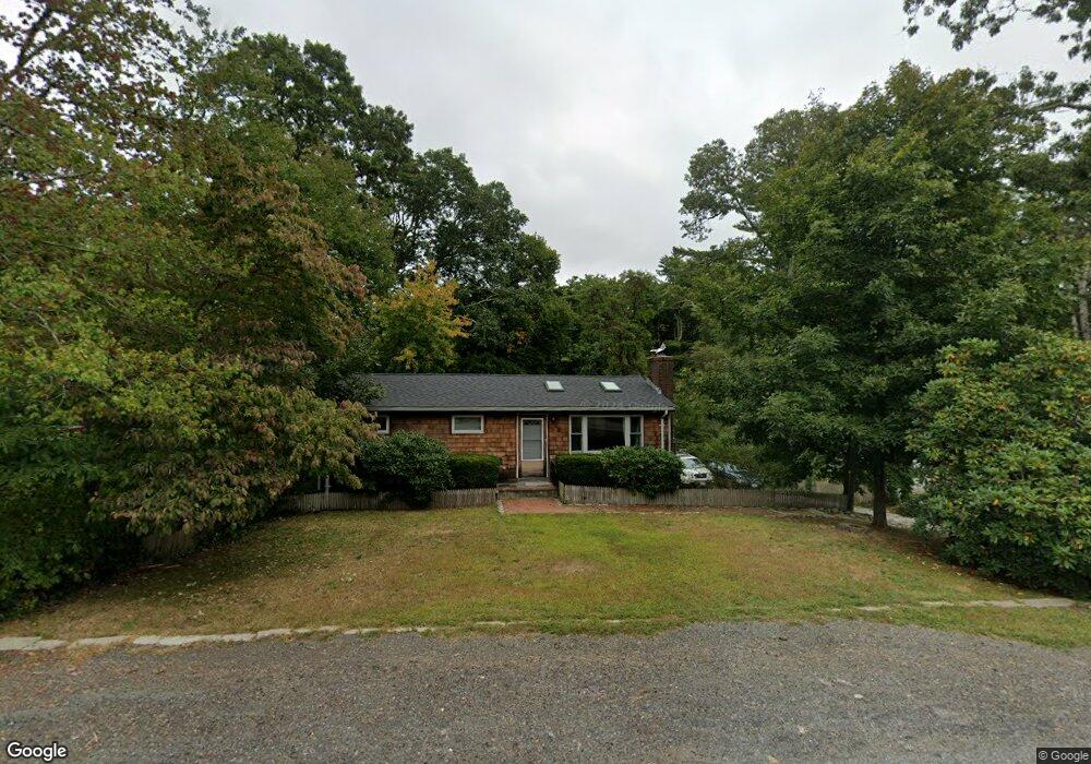
11 White Pine Ln East Falmouth, MA 02536
Hatchville NeighborhoodEstimated Value: $471,000 - $570,000
2
Beds
1
Bath
800
Sq Ft
$647/Sq Ft
Est. Value
About This Home
This home is located at 11 White Pine Ln, East Falmouth, MA 02536 and is currently estimated at $517,774, approximately $647 per square foot. 11 White Pine Ln is a home located in Barnstable County with nearby schools including Mullen-Hall School, Morse Pond School, and Lawrence School.
Ownership History
Date
Name
Owned For
Owner Type
Purchase Details
Closed on
Aug 8, 2002
Sold by
Sellers William J and Sellers Cynthia J
Bought by
Palazzola Daniel E
Current Estimated Value
Home Financials for this Owner
Home Financials are based on the most recent Mortgage that was taken out on this home.
Original Mortgage
$170,000
Outstanding Balance
$72,090
Interest Rate
6.58%
Mortgage Type
Purchase Money Mortgage
Estimated Equity
$445,684
Create a Home Valuation Report for This Property
The Home Valuation Report is an in-depth analysis detailing your home's value as well as a comparison with similar homes in the area
Home Values in the Area
Average Home Value in this Area
Purchase History
| Date | Buyer | Sale Price | Title Company |
|---|---|---|---|
| Palazzola Daniel E | $200,000 | -- | |
| Palazzola Daniel E | $200,000 | -- |
Source: Public Records
Mortgage History
| Date | Status | Borrower | Loan Amount |
|---|---|---|---|
| Open | Palazzola Daniel E | $170,000 | |
| Closed | Palazzola Daniel E | $170,000 | |
| Previous Owner | Palazzola Daniel E | $71,000 |
Source: Public Records
Tax History Compared to Growth
Tax History
| Year | Tax Paid | Tax Assessment Tax Assessment Total Assessment is a certain percentage of the fair market value that is determined by local assessors to be the total taxable value of land and additions on the property. | Land | Improvement |
|---|---|---|---|---|
| 2025 | $2,356 | $401,400 | $136,000 | $265,400 |
| 2024 | $2,337 | $372,200 | $128,900 | $243,300 |
| 2023 | $2,338 | $337,800 | $128,900 | $208,900 |
| 2022 | $2,233 | $277,400 | $97,100 | $180,300 |
| 2021 | $1,913 | $225,100 | $92,900 | $132,200 |
| 2020 | $1,861 | $216,700 | $84,500 | $132,200 |
| 2019 | $1,798 | $210,100 | $84,500 | $125,600 |
| 2018 | $1,717 | $199,700 | $84,500 | $115,200 |
| 2017 | $1,674 | $196,300 | $84,500 | $111,800 |
| 2016 | $1,643 | $196,300 | $84,500 | $111,800 |
| 2015 | $1,608 | $196,300 | $84,500 | $111,800 |
| 2014 | $1,663 | $204,100 | $88,900 | $115,200 |
Source: Public Records
Map
Nearby Homes
- 590 Sandwich Rd
- 25 Harris Hill Rd
- 68 Deepwood Dr
- 17 Pinewood Dr
- 59 Whitecaps Dr
- 70 Meredith Dr
- 100 Tanglewood Dr
- 66 Braxton Rd
- 12 Rock Hollow Dr
- 3 Viber Ln
- 32 Jamie Ln
- 130 Old Barnstable Rd
- 273 Sandwich Rd
- 809 Sandwich Rd
- 149 Brick Kiln Rd
- 23 Little John Rd
- 33 John Parker Rd
- 35 Old Barnstable Rd
- 24 Little John Rd
- 7 White Pine Ln
- 17 White Pine Ln
- 12 White Pine Ln
- 8 White Pine Ln
- 3 White Pine Ln
- 18 White Pine Ln
- 19 White Pine Ln
- 2 White Pine Ln
- 554 Sandwich Rd
- 22 White Pine Ln
- 15 Corrine Dr
- 19 Corrine Dr
- 9 Corrine Dr
- 74 Lake Shore Dr
- 558 Sandwich Rd
- 23 Corrine Dr
- 72 Lake Shore Dr
- 82 Lake Shore Dr
- 3 Corrine Dr
- 562 Sandwich Rd