11 White Tail Ln Dunbarton, NH 03046
Estimated Value: $813,177 - $1,059,000
4
Beds
4
Baths
2,403
Sq Ft
$377/Sq Ft
Est. Value
About This Home
This home is located at 11 White Tail Ln, Dunbarton, NH 03046 and is currently estimated at $904,794, approximately $376 per square foot. 11 White Tail Ln is a home with nearby schools including Dunbarton Elementary School, Bow Memorial School, and Bow High School.
Ownership History
Date
Name
Owned For
Owner Type
Purchase Details
Closed on
Dec 18, 2017
Sold by
Dutton Fred and Dutton Wanda
Bought by
Dunbarton Town Of
Current Estimated Value
Purchase Details
Closed on
Sep 5, 2017
Sold by
Cote & Sciere Real Estat
Bought by
Dutton Fred P and Dutton Wanda Y
Purchase Details
Closed on
Nov 10, 2008
Sold by
Natalie Drive Re Llc
Bought by
Cote & Sciere Re Llc
Create a Home Valuation Report for This Property
The Home Valuation Report is an in-depth analysis detailing your home's value as well as a comparison with similar homes in the area
Home Values in the Area
Average Home Value in this Area
Purchase History
| Date | Buyer | Sale Price | Title Company |
|---|---|---|---|
| Dunbarton Town Of | -- | -- | |
| Dutton Fred P | $150,000 | -- | |
| Cote & Sciere Re Llc | $135,000 | -- |
Source: Public Records
Tax History Compared to Growth
Tax History
| Year | Tax Paid | Tax Assessment Tax Assessment Total Assessment is a certain percentage of the fair market value that is determined by local assessors to be the total taxable value of land and additions on the property. | Land | Improvement |
|---|---|---|---|---|
| 2024 | $14,836 | $562,400 | $128,900 | $433,500 |
| 2023 | $14,381 | $562,400 | $128,900 | $433,500 |
| 2022 | $12,648 | $550,400 | $128,900 | $421,500 |
| 2021 | $12,885 | $550,400 | $128,900 | $421,500 |
| 2020 | $12,263 | $550,400 | $128,900 | $421,500 |
| 2018 | $5,020 | $222,800 | $84,100 | $138,700 |
| 2017 | $66 | $2,576 | $2,576 | $0 |
| 2016 | $67 | $2,806 | $2,806 | $0 |
| 2015 | $63 | $2,691 | $2,691 | $0 |
| 2014 | $59 | $2,806 | $2,806 | $0 |
| 2013 | -- | $3,404 | $3,404 | $0 |
Source: Public Records
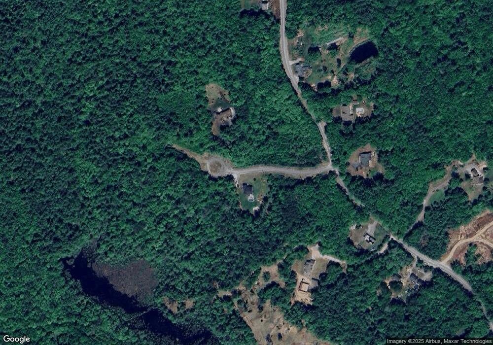
Map
Nearby Homes
- 250 Grapevine Rd
- 8 Longview Dr
- 5 Longview Dr
- 490 Page Rd
- 70 Gile Hill Rd
- I3-03-05 Clinton St
- 0 Brown Hill Rd Unit 5032600
- 43 Sterling Place
- 27 Brushwood Dr
- 1 Hop Kiln Rd
- 167 Branch Londonderry Turnpike
- 49 Stark Hwy N
- 104 Brown Hill Rd
- 40 Sawmill Rd
- 1003 School St
- 15 Robert Rogers Rd
- 77 White Rock Hill Rd
- 0 Farrington Corner Rd Unit 14
- 40 N Woods Rd
- 256-0-17 Jewett Rd
- 241 Grapevine Rd
- 19 Zachary Dr
- 8 White Tail Ln
- 0 White Tail Ct Unit 4797349
- 0 White Tail Ct Unit 4756843
- 13 White Tail Ct
- 248 Grapevine Rd
- 233 Grapevine Rd
- Lot 7 Zachery
- 237 Grapevine Rd
- 4 Zachary Dr
- Lot 4 Zachary
- 218 Grapevine Rd
- Lot 9 Zachary Dr
- Lot 11 Zachary Dr
- 220 Grapevine Rd
- 7 Zachary Dr
- 261 Grapevine Rd
- 8 Zachary Dr
- Lot 8 Zachary Dr