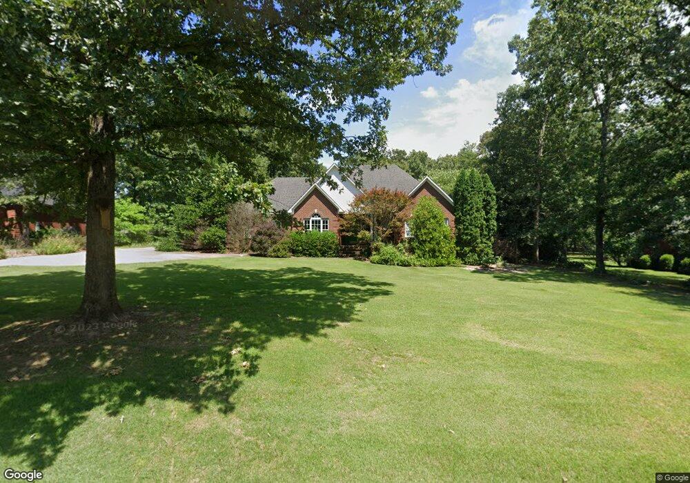
11 Will Ave Lawrenceburg, TN 38464
Estimated Value: $368,931 - $466,000
--
Bed
3
Baths
2,047
Sq Ft
$203/Sq Ft
Est. Value
About This Home
This home is located at 11 Will Ave, Lawrenceburg, TN 38464 and is currently estimated at $415,233, approximately $202 per square foot. 11 Will Ave is a home located in Lawrence County with nearby schools including Ingram Sowell Elementary School, Lawrenceburg Public Elementary School, and Ethridge Elementary School.
Ownership History
Date
Name
Owned For
Owner Type
Purchase Details
Closed on
Mar 23, 2001
Sold by
Wilson Massey
Bought by
Kidd Tommy L
Current Estimated Value
Purchase Details
Closed on
Mar 12, 2001
Sold by
Doss Brothers Inc
Bought by
Lee Kidd Tommy and Robb Lesa
Purchase Details
Closed on
Nov 2, 2000
Sold by
Wm Massey
Bought by
Greg Kersulis
Home Financials for this Owner
Home Financials are based on the most recent Mortgage that was taken out on this home.
Original Mortgage
$157,700
Interest Rate
7.38%
Purchase Details
Closed on
Jan 2, 1900
Bought by
Massey Wm
Create a Home Valuation Report for This Property
The Home Valuation Report is an in-depth analysis detailing your home's value as well as a comparison with similar homes in the area
Home Values in the Area
Average Home Value in this Area
Purchase History
| Date | Buyer | Sale Price | Title Company |
|---|---|---|---|
| Kidd Tommy L | $25,000 | -- | |
| Lee Kidd Tommy | $18,000 | -- | |
| Greg Kersulis | $166,000 | -- | |
| Massey Wm | -- | -- |
Source: Public Records
Mortgage History
| Date | Status | Borrower | Loan Amount |
|---|---|---|---|
| Previous Owner | Massey Wm | $157,700 |
Source: Public Records
Tax History Compared to Growth
Tax History
| Year | Tax Paid | Tax Assessment Tax Assessment Total Assessment is a certain percentage of the fair market value that is determined by local assessors to be the total taxable value of land and additions on the property. | Land | Improvement |
|---|---|---|---|---|
| 2025 | $1,586 | $78,875 | $0 | $0 |
| 2024 | $1,586 | $78,875 | $11,500 | $67,375 |
| 2023 | $1,586 | $78,875 | $11,500 | $67,375 |
| 2022 | $1,586 | $78,875 | $11,500 | $67,375 |
| 2021 | $1,515 | $51,200 | $8,550 | $42,650 |
| 2020 | $1,515 | $51,200 | $8,550 | $42,650 |
| 2019 | $1,515 | $51,200 | $8,550 | $42,650 |
| 2018 | $1,515 | $51,200 | $8,550 | $42,650 |
| 2017 | $1,515 | $51,200 | $8,550 | $42,650 |
| 2016 | $1,515 | $51,200 | $8,550 | $42,650 |
| 2015 | $1,402 | $51,200 | $8,550 | $42,650 |
| 2014 | $1,279 | $46,700 | $7,275 | $39,425 |
Source: Public Records
Map
Nearby Homes
- 0 Woodland Cir Unit RTC3033314
- 48 Woodland Cir
- 413 Kirk St
- 132 Sundance Dr
- 114 Hummingbird Ln
- 975 Weakley Creek Rd
- 4000 Weakley Creek Rd
- 4951 Weakley Creek Rd
- 31 Community Rd
- 52 Beuerlein Cir
- 1050 Baylee Cir
- 14 Delana Ave
- 717 Toben Terrace
- 1303 5th Ave
- 335 Robins St
- 970 9th St
- 801 Douglas Dr
- 1216 Poplar Dr
- 1088 Mattox Town Rd
- 1083 Mattox Town Rd