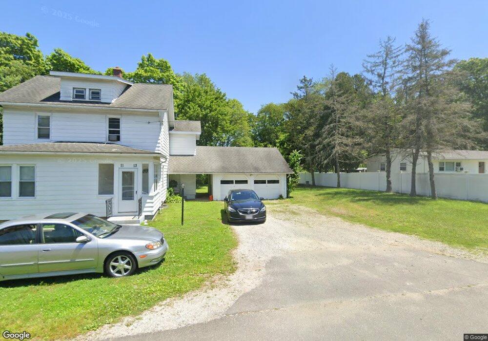
11 Wilson St Unit 13 Wilbraham, MA 01095
Estimated Value: $286,577 - $414,000
4
Beds
2
Baths
2,045
Sq Ft
$169/Sq Ft
Est. Value
About This Home
This home is located at 11 Wilson St Unit 13, Wilbraham, MA 01095 and is currently estimated at $344,859, approximately $168 per square foot. 11 Wilson St Unit 13 is a home located in Hampden County with nearby schools including Minnechaug Regional High School, St John The Baptist School, and Wilbraham & Monson Academy.
Ownership History
Date
Name
Owned For
Owner Type
Purchase Details
Closed on
Dec 30, 2011
Sold by
Davis Scott V and Davis Tracy L
Bought by
Tass Properties Llc
Current Estimated Value
Purchase Details
Closed on
Oct 2, 2007
Sold by
Boutet Steven R and Boutet Yvon R
Bought by
Davis Scott and Davis Tracy L
Home Financials for this Owner
Home Financials are based on the most recent Mortgage that was taken out on this home.
Original Mortgage
$191,000
Interest Rate
6.65%
Mortgage Type
Purchase Money Mortgage
Create a Home Valuation Report for This Property
The Home Valuation Report is an in-depth analysis detailing your home's value as well as a comparison with similar homes in the area
Home Values in the Area
Average Home Value in this Area
Purchase History
| Date | Buyer | Sale Price | Title Company |
|---|---|---|---|
| Tass Properties Llc | -- | -- | |
| Davis Scott | $191,000 | -- |
Source: Public Records
Mortgage History
| Date | Status | Borrower | Loan Amount |
|---|---|---|---|
| Previous Owner | Davis Scott | $191,000 |
Source: Public Records
Tax History
| Year | Tax Paid | Tax Assessment Tax Assessment Total Assessment is a certain percentage of the fair market value that is determined by local assessors to be the total taxable value of land and additions on the property. | Land | Improvement |
|---|---|---|---|---|
| 2025 | $4,445 | $248,600 | $65,100 | $183,500 |
| 2024 | $4,307 | $232,800 | $65,100 | $167,700 |
| 2023 | $4,331 | $231,600 | $65,100 | $166,500 |
| 2022 | $5,073 | $247,600 | $65,100 | $182,500 |
| 2021 | $4,204 | $183,100 | $76,100 | $107,000 |
| 2020 | $4,098 | $183,100 | $76,100 | $107,000 |
| 2019 | $3,992 | $183,100 | $76,100 | $107,000 |
| 2018 | $4,145 | $183,100 | $76,100 | $107,000 |
| 2017 | $4,028 | $183,100 | $76,100 | $107,000 |
| 2016 | $3,491 | $161,600 | $75,600 | $86,000 |
| 2015 | $3,374 | $161,600 | $75,600 | $86,000 |
Source: Public Records
Map
Nearby Homes
- 4 Hillcrest Dr
- 46 Washington Rd
- 35 Lake Dr
- 104 High Pine Cir
- 3 Mohawk St
- 1 Aspen Dr
- 22 Brainard Rd
- 16 Maple St
- 6 Teak Terrace Unit 24
- 67 Hill Terrace
- 36 Maple St
- 24 Lodge Ln Unit 24
- 57 Sandalwood Dr Unit site 61
- 103 Sandalwood Dr Unit site 00
- 111 Sandalwood Dr Unit site 00
- 25 Dale St
- 2205 Boston Rd Unit E43
- 2205 Boston Rd Unit M120
- 84 Sandalwood Dr Unit site 00
- 26 Sandalwood Dr
Your Personal Tour Guide
Ask me questions while you tour the home.